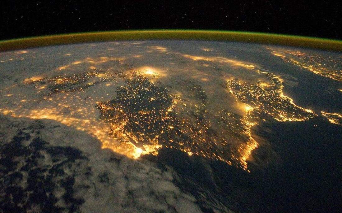
 The limb of Earth: a thin glowing film. This is the classroom sense of atmosphere-layers: a named landform, process, or object. Source: Wikimedia Commons / NASA / USGS / NOAA, public domain or CC.Wikimedia Commons / NASA / USGS / NOAA, public domain or CC
Why this matters
Weather lives in a thin film, not in the whole sky. A last-period class on a UK sea-breeze coast and a playground in mile-high Denver are both still in the troposphere: a few kilometres of mixing, cloud, rain, and the winds that make a forecast. The tropopause is a lid, not the edge of space. Above it the air is real (ozone, meteors, aurora) but almost none of the weather you teach. Aircraft cruise near that lid because the film ends and the ride gets smoother. A Met Office radiosonde and a Denver sounding are the same stack with a different starting height. GCSE weather and NGSS Earth systems both need this picture before fronts, cells, or climate types. If pupils think space begins just above the clouds, every later lab is a cartoon. Draw the film first. Then London fog, Florida convection, and Phoenix heat all have a place to live.
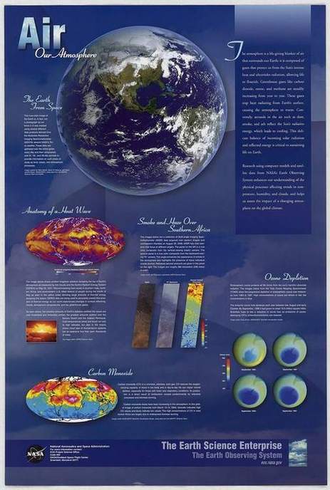 A second photograph for the projector script — not the lab cover.Wikimedia Commons / NASA / USGS
The mechanism
The stack from the ground up is troposphere, tropopause, stratosphere, mesosphere, thermosphere. Thickness is not equal. The troposphere is roughly 8 to 12 km, thinner over the poles, thicker in the tropics. Almost all clouds, rain, and the mixing that makes weather sit in that inner film. Temperature in the troposphere falls with height on average: a school environmental lapse rate of about 6.5 °C km⁻¹. A radiosonde is that diagram going up. The tropopause is where the fall stops. In the stratosphere, ozone absorbs ultraviolet and heats the layer, so temperature rises as you go up, not because those kilometres are meaningfully closer to the Sun. Mesosphere cools again. Thermosphere is thin, energetic, and still not weather. Pressure falls with height the whole way; we do not run out of air at the tropopause. Denver at about 1.6 km is a higher starting point in the same troposphere. A UK sounding from a coastal station starts near sea level and still finds the same lid many kilometres up. Colour the troposphere, explode the shells so the class can name them, then push the shells back so the film looks like a film. The lapse-rate slider is a school average, not a local sounding on a given Tuesday, and not a claim that every parcel cools at 6.5 °C km⁻¹.
How to drive the model
Drag to orbit. Space plays and pauses. Arrow keys nudge time. L toggles labels so you can hide names and ask the back row. R resets the stack and the lapse slider. P switches projector mode for a clean board. E explodes the shells; push them back before you sit down so thickness stays honest. Scrub Lapse rate and watch troposphere colour. This lab has no year clock; the motion is the explode and the slider. Share the URL once the shells sit where you want them.
If the model will not spin
If JavaScript or WebGL dies, the 2D fallback still shows the stack as a labelled diagram. Teach from Observe, Tinker, Explain and finish in Check: weather in the troposphere, lapse as a fall, ozone heating the stratosphere, Denver still troposphere. Print the teacher script from the Teacher tab. The glossary still carries tropopause, radiosonde, and ozone layer. Cases still point at Denver mile-high air and a UK sounding. You lose explode, orbit, and the lapse colour, not the film. A paper radiosonde trace can stand in for the slider. The Why copy on this page is the lesson if the canvas is a still.
Film
What Does the Atmosphere Do? Crash Course Geography #6. Crash Course Geography. About 11 min. Crash Course / Complexly on YouTube. Standard YouTube licence. Educational embed, autoplay off. Autoplay off.
Misconceptions
Space begins just above the clouds.
Clouds are in a thin film. There is a lot of atmosphere above them, but almost no weather.
The troposphere is about half the stack.
On a fair drawing it is a film. School shells are exploded so you can name them, not so you can measure thickness from the poster.
We run out of air at the tropopause, so Denver is halfway to space.
Pressure falls with height, but air continues. Denver at about 1.6 km is still deep in a 10–12 km troposphere.
Troposphere
Lowest layer. Weather lives here. Roughly 8–12 km thick, thinner at the poles.
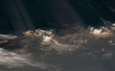 Troposphere in the atmosphere-layers lab — a TERMS crop, not the glossary plate and not the lab cover. Lowest layer. Source: Wikimedia Commons / NASA / USGS / public domain.Wikimedia Commons / NASA / USGS / public domain
Tropopause
The lid of the troposphere, where temperature stops falling with height.
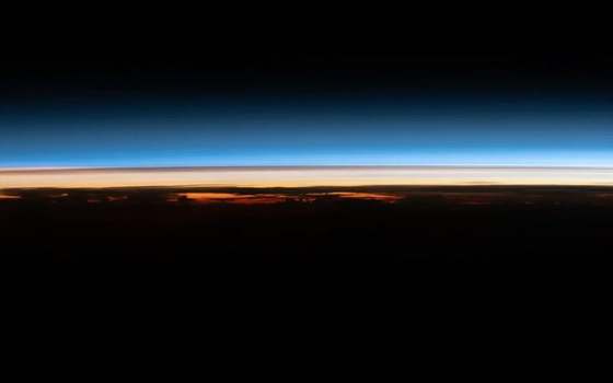 Tropopause in the atmosphere-layers lab — a TERMS crop, not the glossary plate and not the lab cover. The lid of the troposphere, where temperature stops falling with height. Source: Wikimedia Commons / NASA / USGS / public domain.Wikimedia Commons / NASA / USGS / public domain
Lapse rate
How temperature changes with height. A positive environmental lapse usually means it gets colder up.
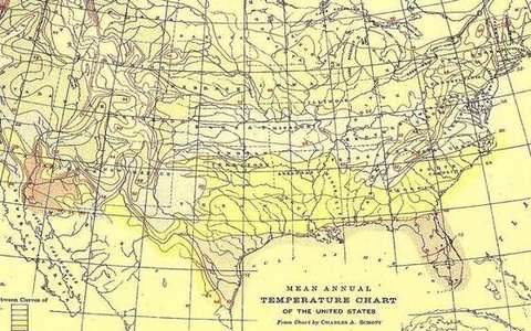 lapse rate in the atmosphere-layers lab — a TERMS crop, not the glossary plate and not the lab cover. A TERMS crop, not the glossary plate and not the lab cover. Source: Wikimedia Commons / NASA / USGS / NOAA, public domain or CC.Wikimedia Commons / NASA / USGS / NOAA, public domain or CC
Stratosphere
Layer above the tropopause, heated by ozone absorbing ultraviolet.
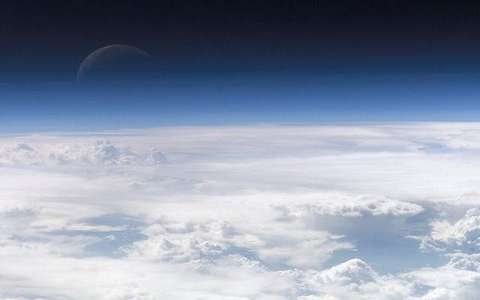 stratosphere in the atmosphere-layers lab — a TERMS crop, not the glossary plate and not the lab cover. A TERMS crop, not the glossary plate and not the lab cover. Source: Wikimedia Commons / NASA / USGS / NOAA, public domain or CC.Wikimedia Commons / NASA / USGS / NOAA, public domain or CC
Mesosphere
Layer above the stratosphere. Temperature falls with height again. Meteors burn here.
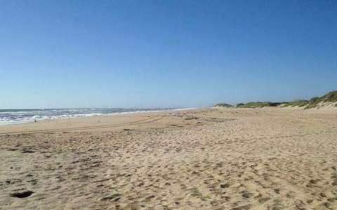 mesosphere in the atmosphere-layers lab — a TERMS crop, not the glossary plate and not the lab cover. A TERMS crop, not the glossary plate and not the lab cover. Source: Wikimedia Commons / NASA / USGS / NOAA, public domain or CC.Wikimedia Commons / NASA / USGS / NOAA, public domain or CC
Thermosphere
Very thin upper layer. Energetic, aurora country, still not weather.
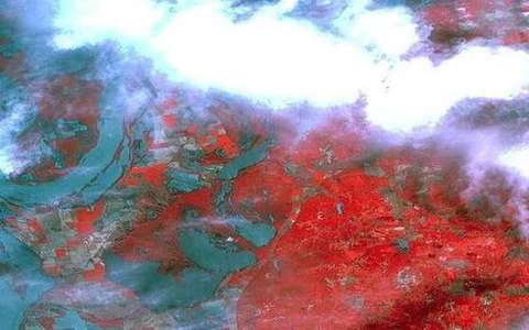 thermosphere in the atmosphere-layers lab — a TERMS crop, not the glossary plate and not the lab cover. A TERMS crop, not the glossary plate and not the lab cover. Source: Wikimedia Commons / NASA / USGS / NOAA, public domain or CC.Wikimedia Commons / NASA / USGS / NOAA, public domain or CC
Radiosonde
Balloon-borne package that profiles temperature, humidity and pressure with height.
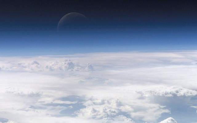 radiosonde in the atmosphere-layers lab — a TERMS crop, not the glossary plate and not the lab cover. A TERMS crop, not the glossary plate and not the lab cover. Source: Wikimedia Commons / NASA / USGS / NOAA, public domain or CC.Wikimedia Commons / NASA / USGS / NOAA, public domain or CC
Ozone layer
Region of higher ozone in the stratosphere that absorbs ultraviolet and heats that layer.
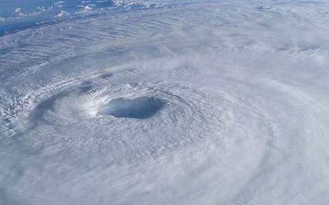 ozone layer in the atmosphere-layers lab — a TERMS crop, not the glossary plate and not the lab cover. A TERMS crop, not the glossary plate and not the lab cover. Source: Wikimedia Commons / NASA / USGS / NOAA, public domain or CC.Wikimedia Commons / NASA / USGS / NOAA, public domain or CC