Explore
62 labs. 35 cases. 62 ready for a full lesson.
Filter by realm, then by a curriculum tag if you need one. KS3 / GCSE / A-level / NGSS / APES are filters, not the identity of the studio. A lab without a model does not get a card.
Paths
Case studies · always on the chart
Realm
UK stage
US framework
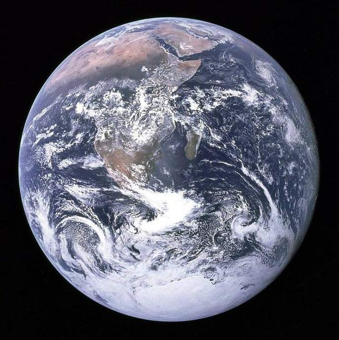
Why seasons happen
In December, London is dark by late afternoon while Sydney is in high summer. The Earth is not closer to the Sun in July.
Earth rotation and the terminator
Frost on a window at 07:00 in Leeds is sunlight already on the school roof in Berlin. The Sun did not jump. The planet turned.
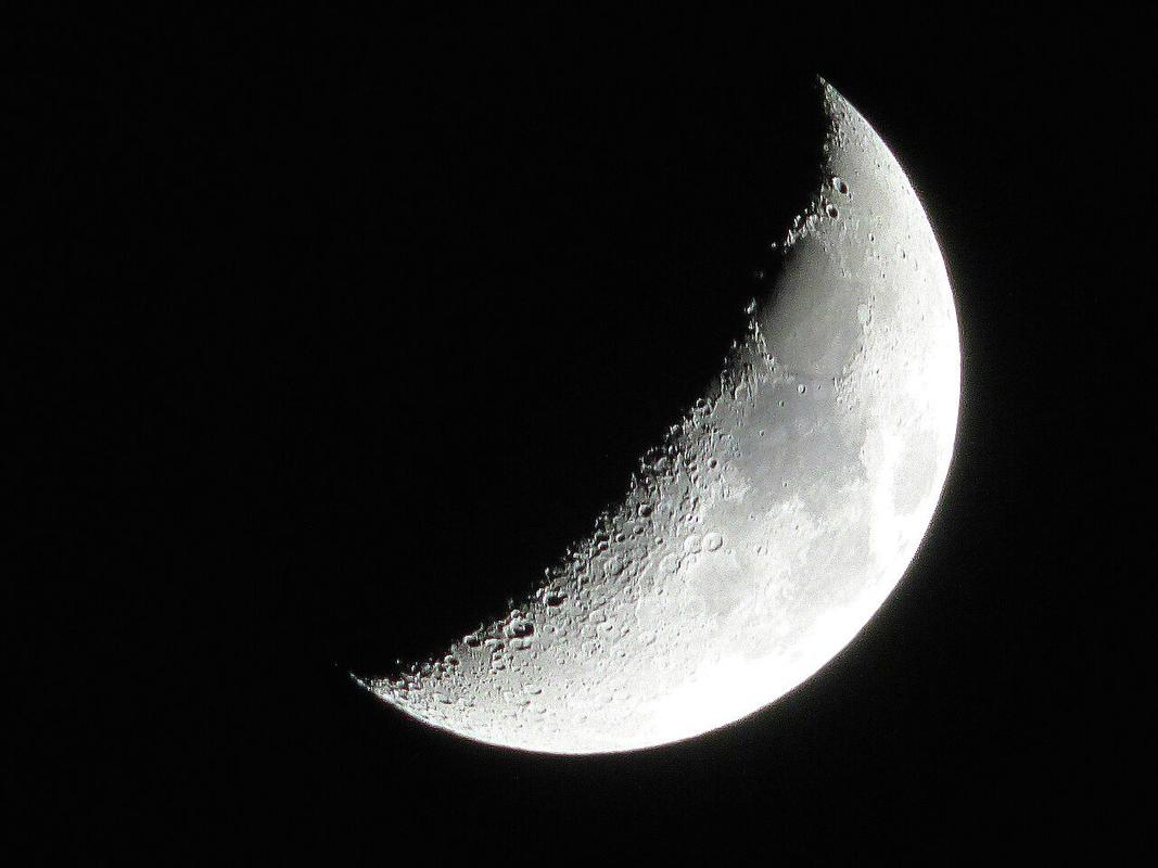
Moon phases and Sun–Earth–Moon geometry
A full Moon over Yosemite is the same geometry a student sees from Snowdonia: the Moon is opposite the Sun, not a different Moon.
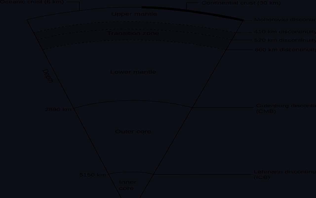
Earth’s interior
A cut apple is a bad model of Earth: the ‘skin’ would be thinner than the apple’s, and the outer core is liquid metal.
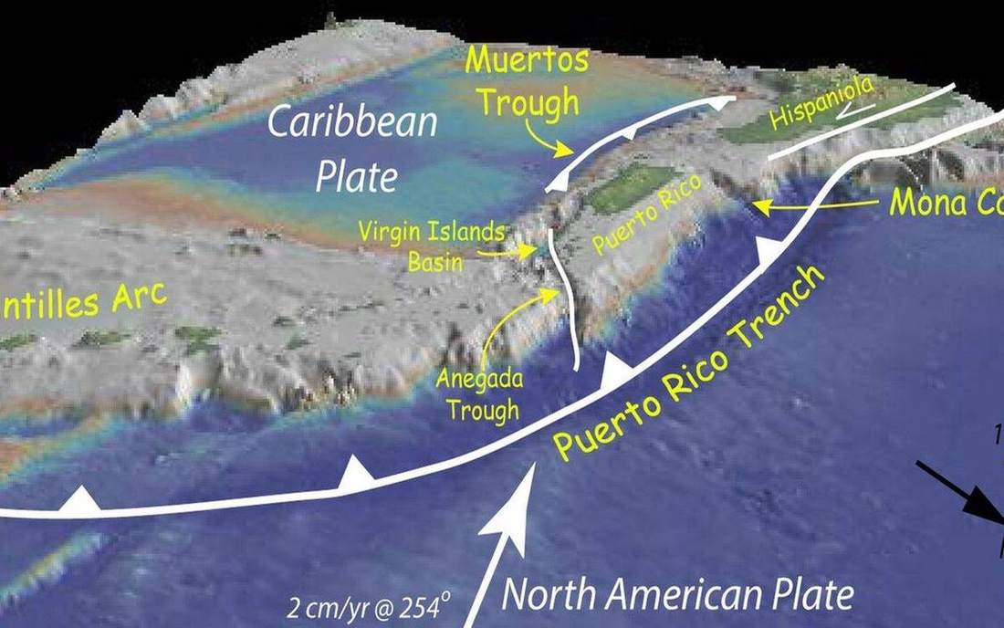
Plate boundaries
Holderness loses metres of till each year; the Himalaya gain millimetres of rock. Both are plates doing different jobs at their edges.
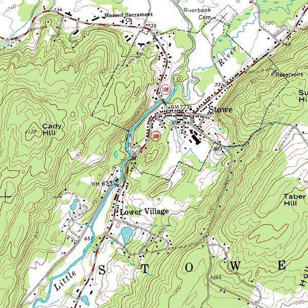
Contours ↔ 3D terrain
A GCSE map question is a hill wearing a disguise. The spur and the valley are the same lines, bending opposite ways.
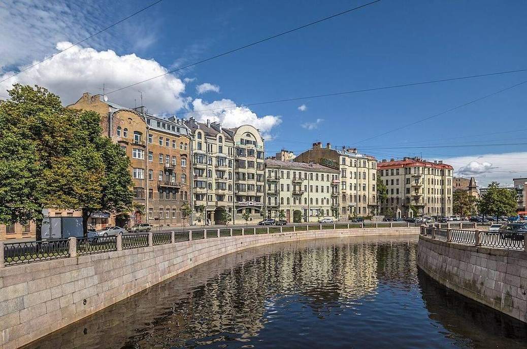
River long profile
A Lake District beck in spate and the Mississippi in flood are the same machine at different stations: steep and narrow, then lazy and wide.
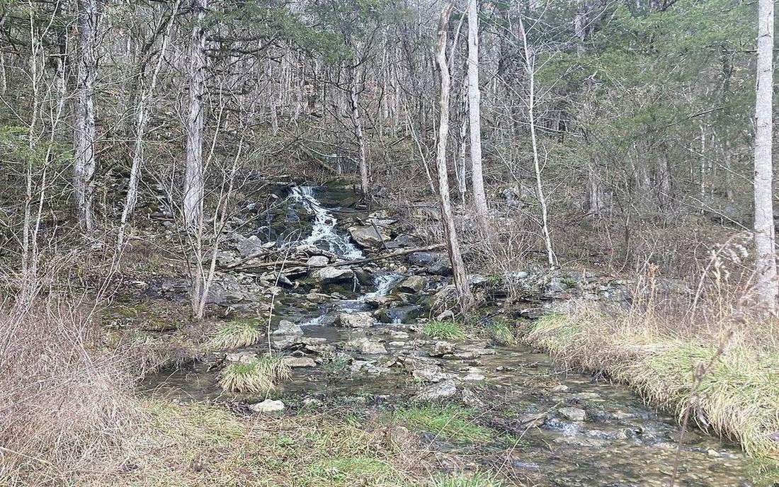
Water cycle stores and flows
A blackout after a blizzard is weather. The reason there is snow to melt into the reservoir is a closed budget of stores and transfers.
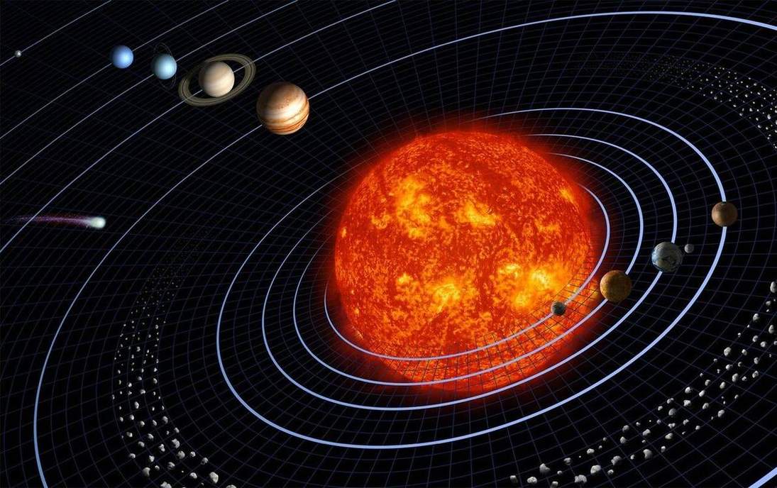
Solar system
Eight planets, one star. Distances are the lie a classroom model always tells — we exaggerate so you can see them.
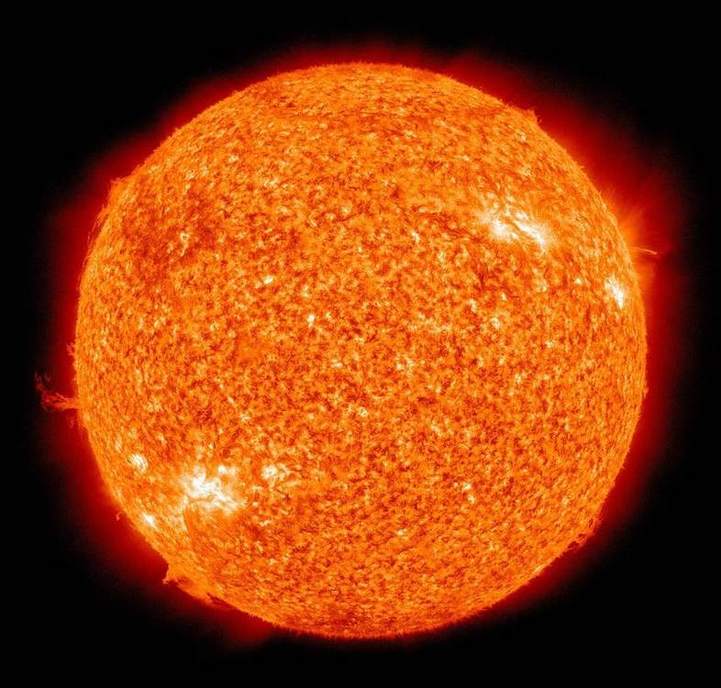
Sun and Earth
The solar constant is a number. Latitude is why a playground in London and one in Nairobi disagree.
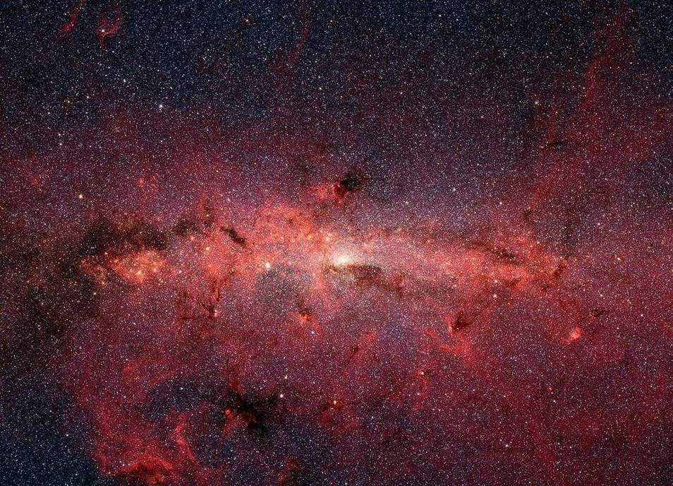
Universe scale
Powers of ten: Earth, then the system, then the local star field. Keep it short. You cannot see a galaxy in one glance honestly.
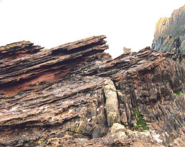
Geologic time
A spiral, not a calendar. Units in Ma. Life and continents are marks, not a cartoon parade.
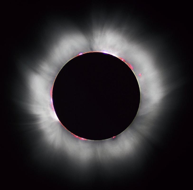
Eclipses
Umbra and penumbra are cones. The Moon’s 5° tilt is why most months miss.
Tides
Two bulges. Spring and neap are alignment, not emotion.
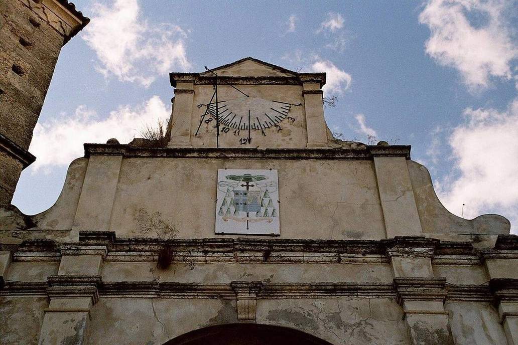
Solar altitude and sun path
A dome over a marked horizon. Date and latitude write the path. Noon altitude and day length fall out.
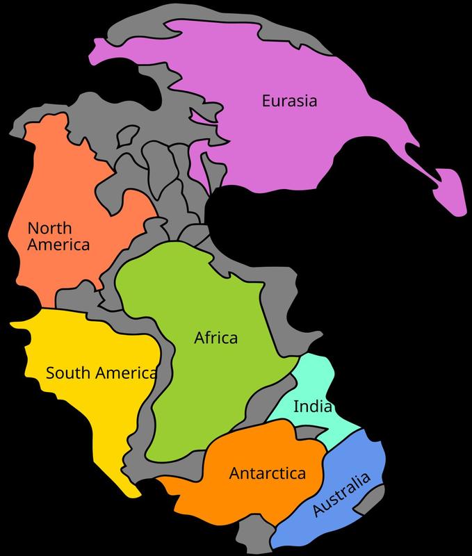
Continental drift
250 Ma the pieces fit. Fossils agree. The ocean is not a static floor continents plough through.
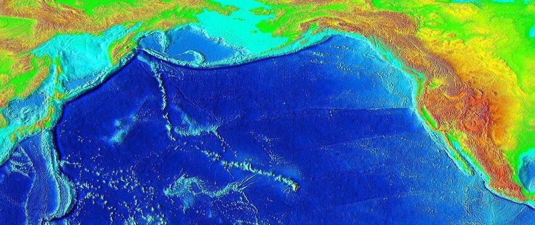
Hotspots
Hawaii and Yellowstone are holes the plate is sliding over — not the same as a plate edge.
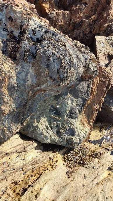
Seafloor spreading
Magnetic stripes are a tape recorder. New crust at the ridge, older away.
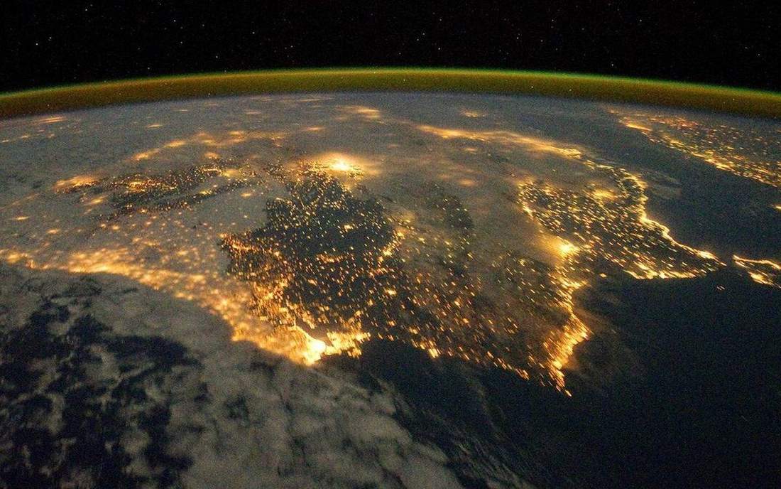
Atmosphere as a thin film
Weather lives in a thin film. The rest of the stack is overhead, not climate.
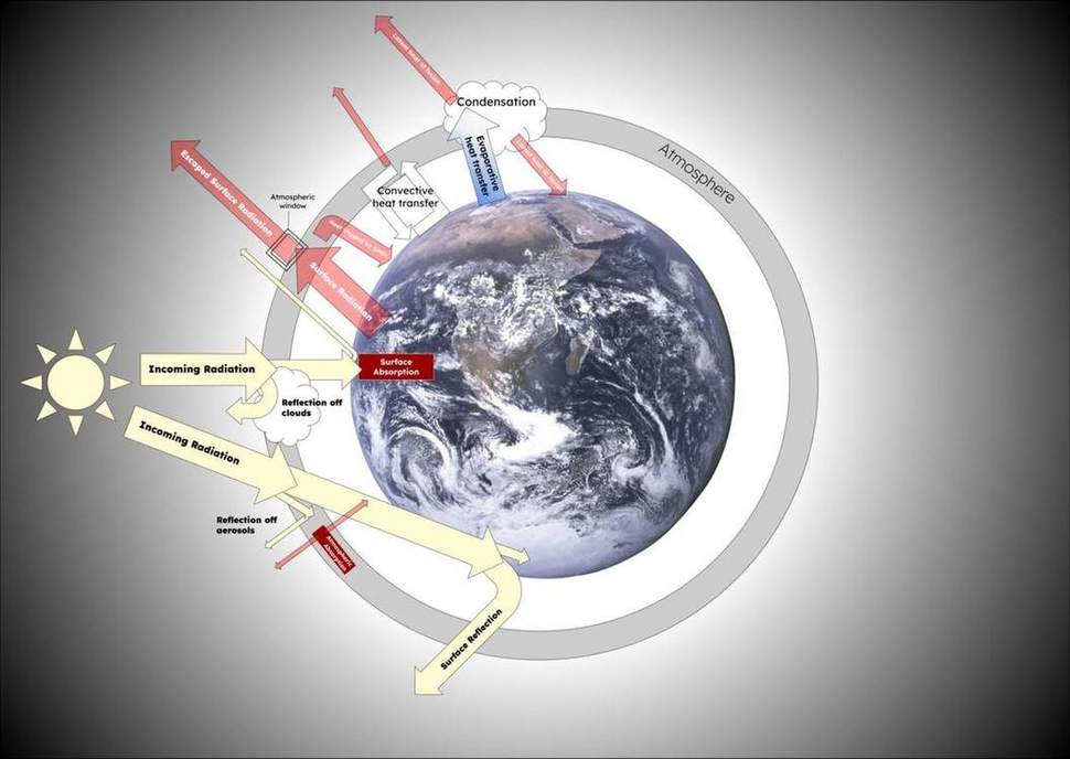
Earth’s energy budget
The ground, not the air, takes the Sun’s punch first.
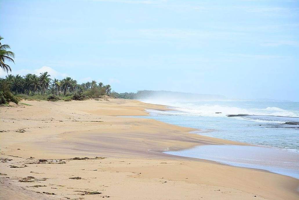
Thermal circulation
A coastal school feels the sea breeze at last period for a reason.
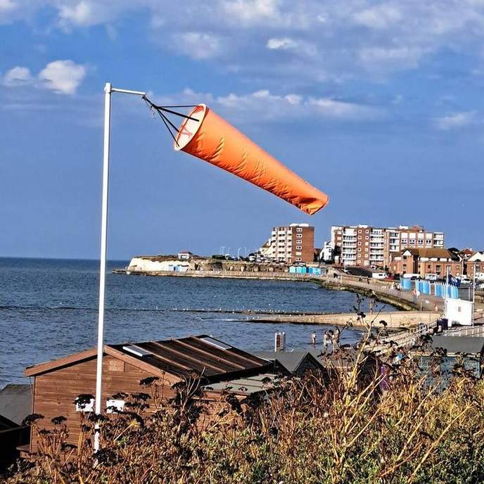
Wind, PGF and Coriolis
Air starts downhill on the pressure slope. Earth then twists the path.
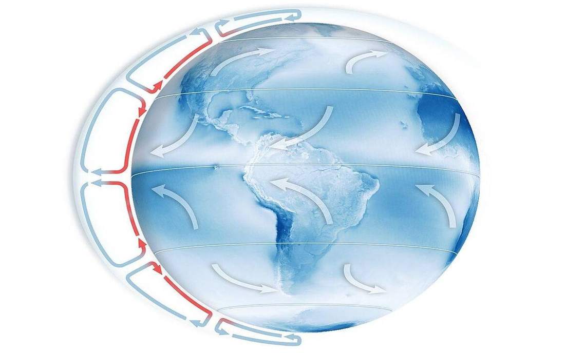
Three-cell circulation
One cell would be the textbook. Three cells are the planet we have.
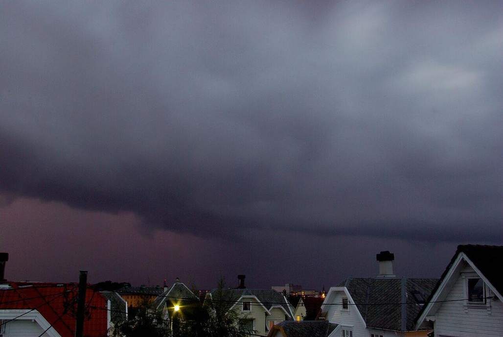
Fronts as wedges
A cold front is a wedge, not a line on a TV map.
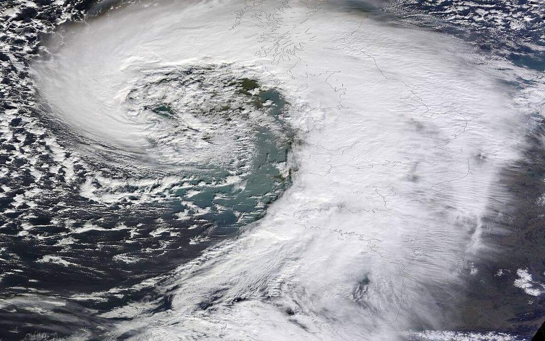
Cyclone and anticyclone
A midlatitude cyclone is a spinning comma of fronts, not a hurricane.
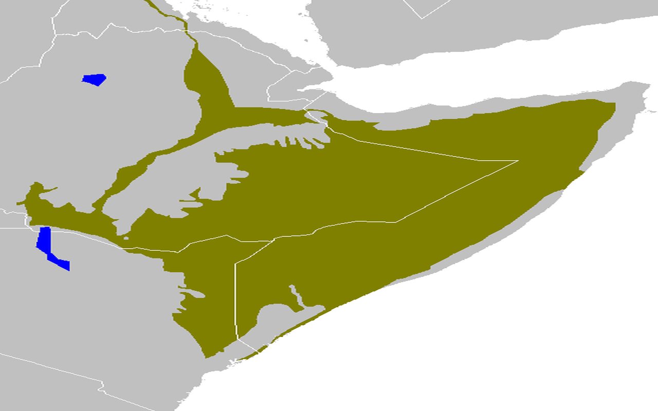
Climate types
Köppen is a map of plants pretending to be a map of weather. The tiles are biomes with a temperature–rain story.
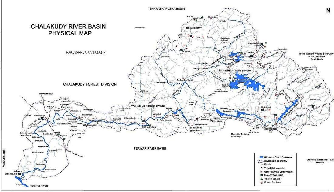
Drainage basin
Click the divide. Source, tributary, confluence, mouth — one budget with a rim.
Storm hydrograph
Rain is the input. The river’s reply has a rising limb, a peak, a lag, a falling limb.
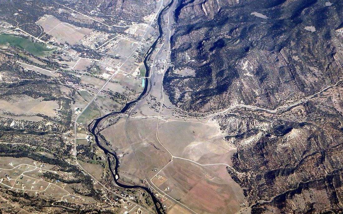
River regime
A UK upland nival/pluvial mix vs the Mississippi: the same year, different graphs.
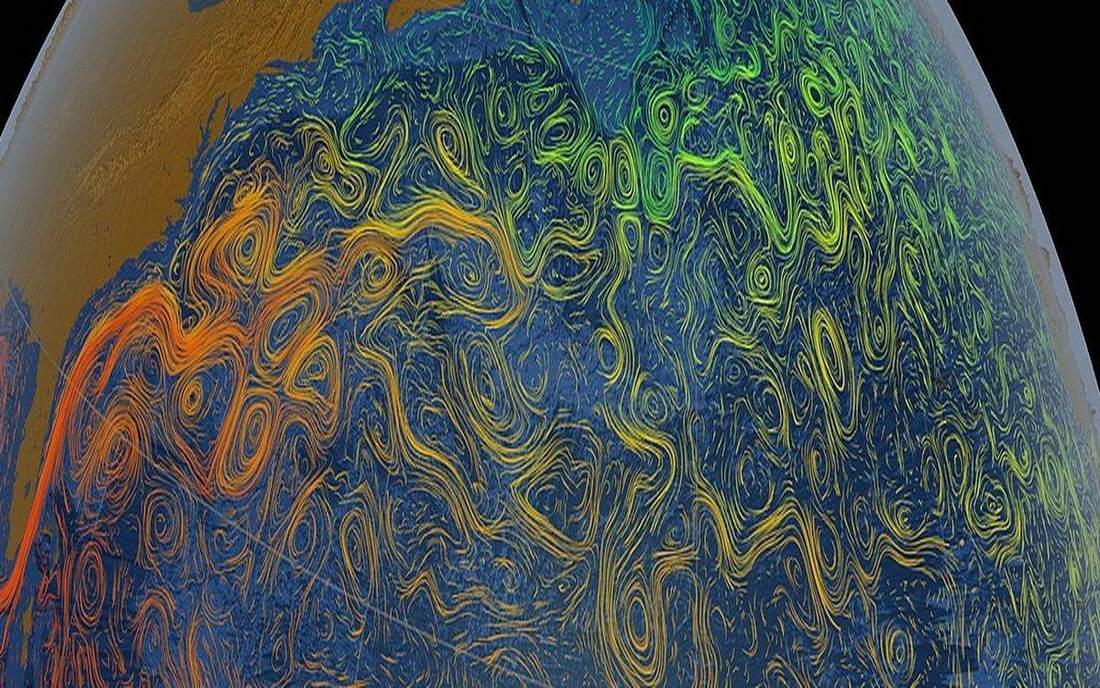
Ocean currents
Gyres are the loops. The Gulf Stream is a warm ribbon the UK notices in the air, not as a miracle heater of every garden.
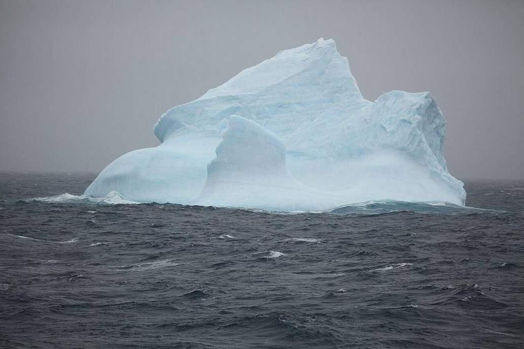
Thermohaline conveyor
Density is colour. Cold salty water sinks. The conveyor is slow and global.
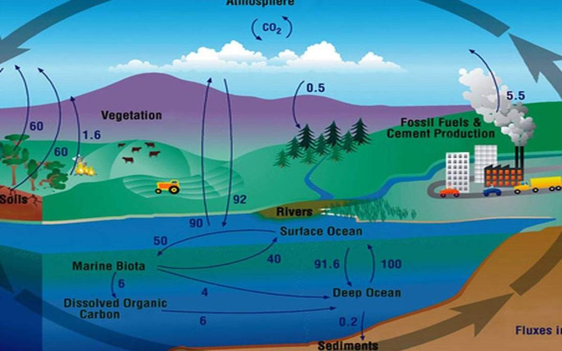
Carbon cycle
Fast stores and slow stores. The fossil-fuel tap is a human transfer from slow to fast.
ENSO and the Walker cell
The Walker cell can flip. El Niño is a warm pool shift, not a personality. UK weather language stays honest.
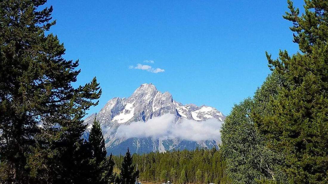
Landform types
A mountain is not a hill with ambition. Height, slope, and a flat top are different machines.
River erosion
A waterfall is a nick point walking upstream.
River deposition
When the water slows, the load sits down: slip-off slope, levée, floodplain, delta, estuary.
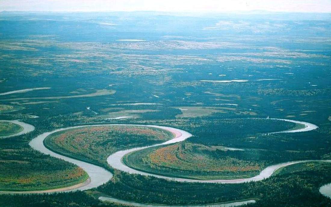
River capture
A more aggressive neighbour can steal a headwater. The elbow is the scar.
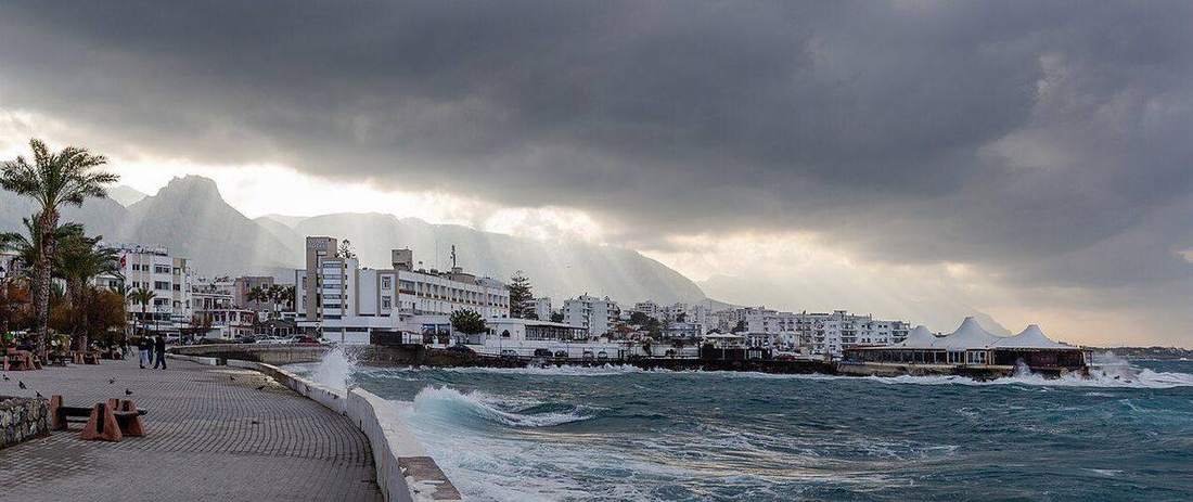
Coasts
Constructive waves build. Destructive waves take. Longshore drift is the conveyor. Cave–arch–stack–stump is the headland’s life.
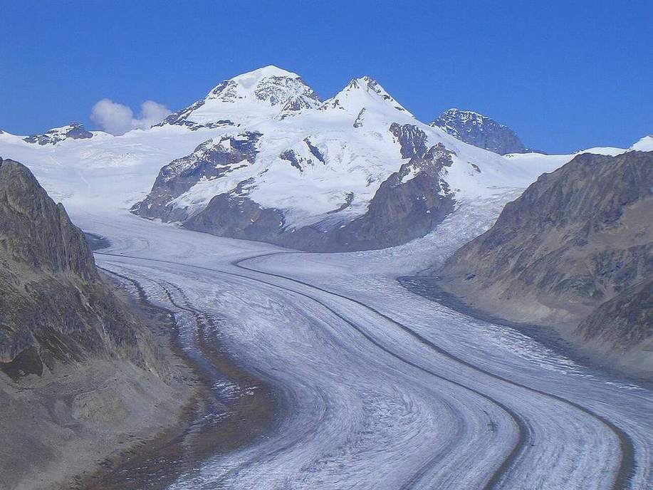
Glacial landforms
Ice is a river that can be a kilometre thick. It leaves a cirque, an arête, a horn, a U, and a pile of till.
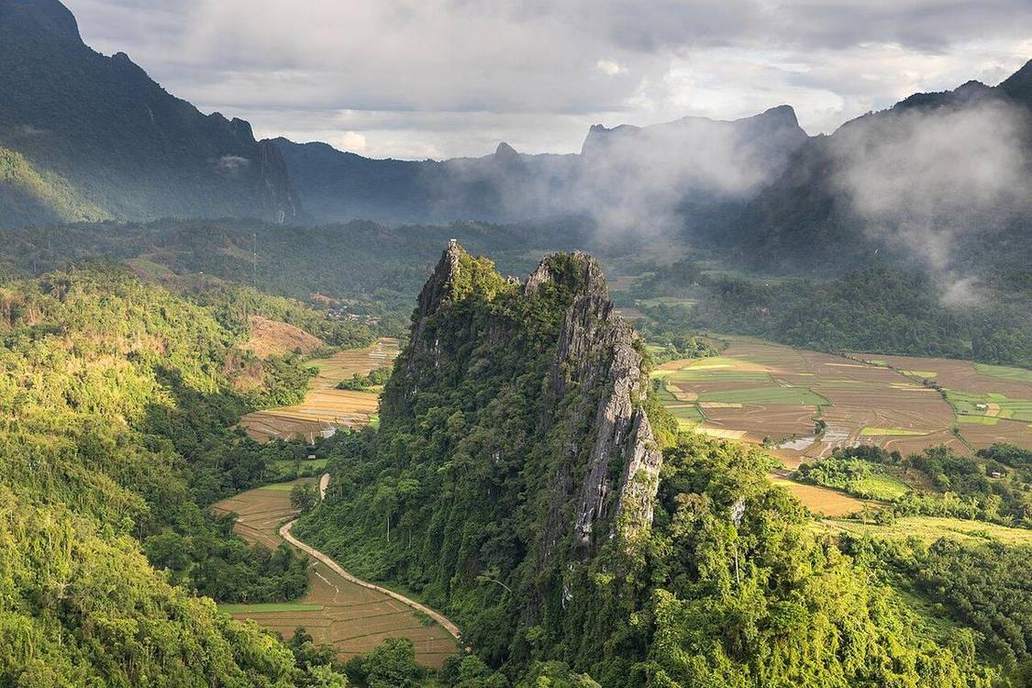
Karst
Limestone does not just break. It dissolves along joints: pavement, swallow hole, cave.
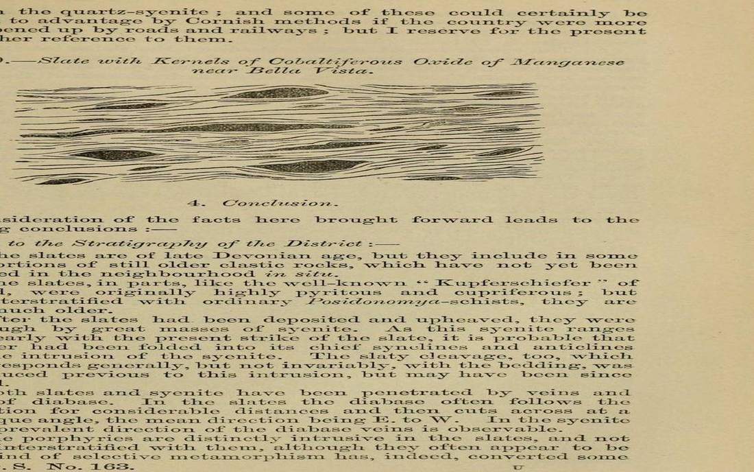
Folds and faults
Rocks bend or they break. Anticline, syncline, then the three fault slips.
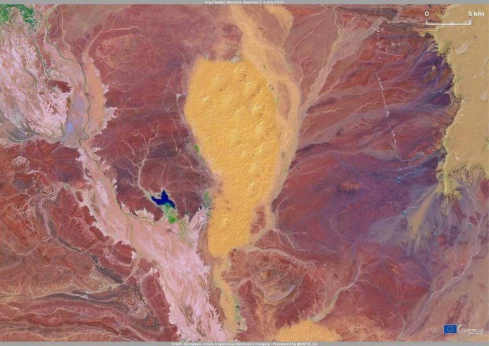
Wind landforms
Yardangs are carved. Barchans are built. Wind is a sculptor where vegetation is thin.
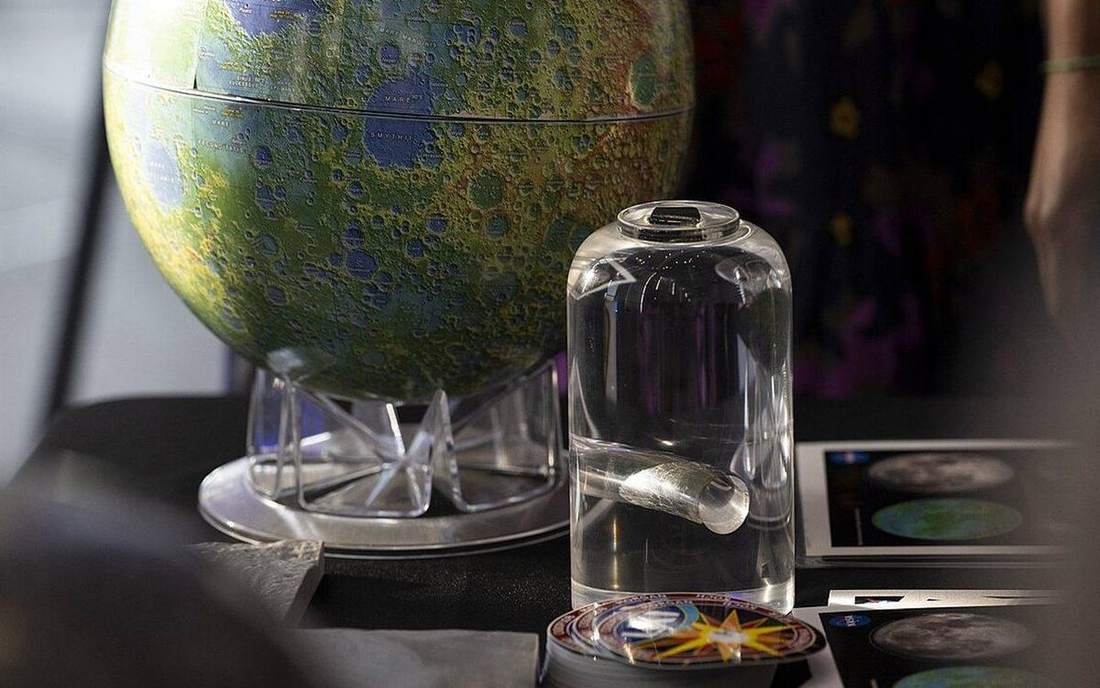
Rock cycle
Igneous, sedimentary, metamorphic. Arrows, not a one-way ladder. Temperature and pressure bias the path.
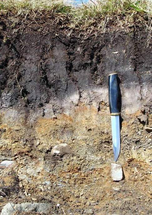
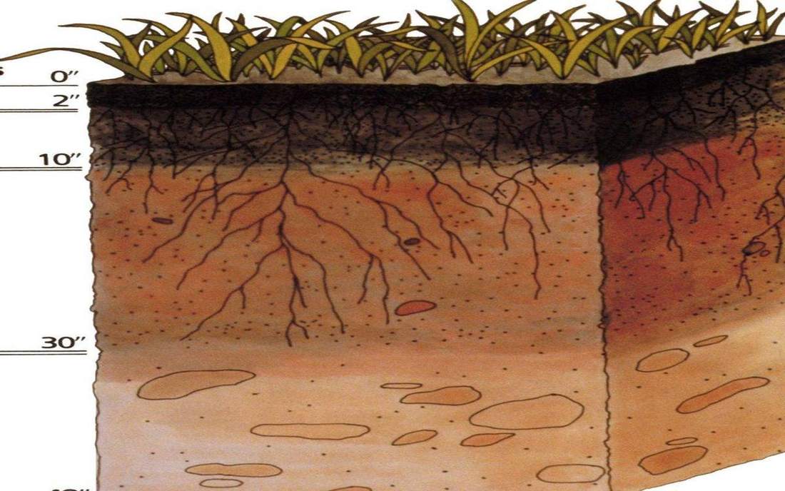
Soil profile
O A E B C R — a stack, not dirt. Compare brown earth, mollisol, oxisol.
Soil texture triangle
Sand, silt, clay. Plot a sample. Name the class. Loam is a place on the triangle, not a brand.
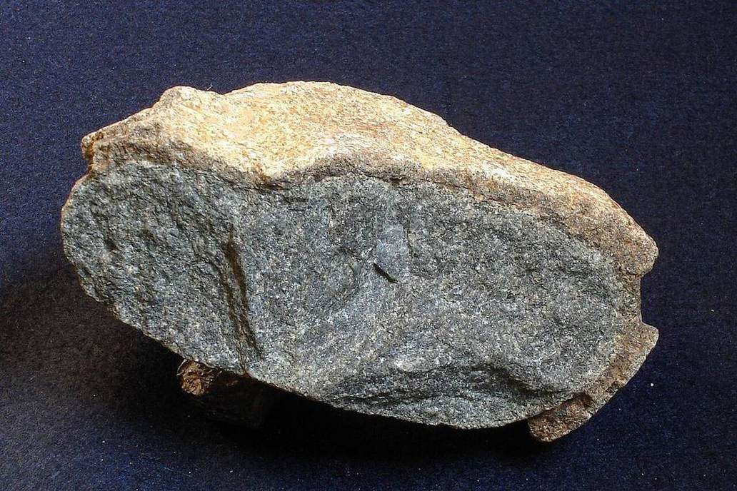
Weathering
Mechanical, chemical, biological — three blocks, side by side, not a ranking of virtue.
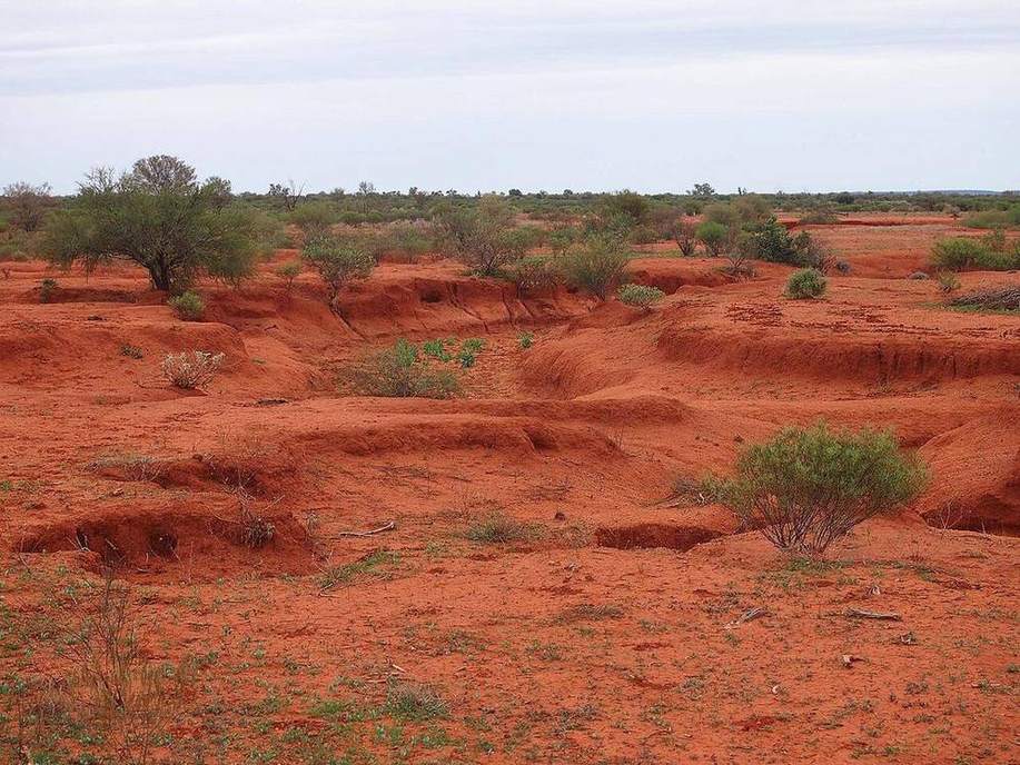
Soil erosion
Rain splash, rill, wind. Vegetation on, the A horizon stays. Vegetation off, it leaves.
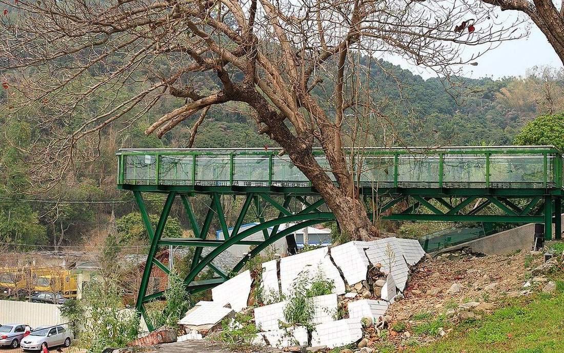
Earthquakes
Focus is in the rock. Epicentre is the map dot. P, then S, then the surface wave that does the damage in town.
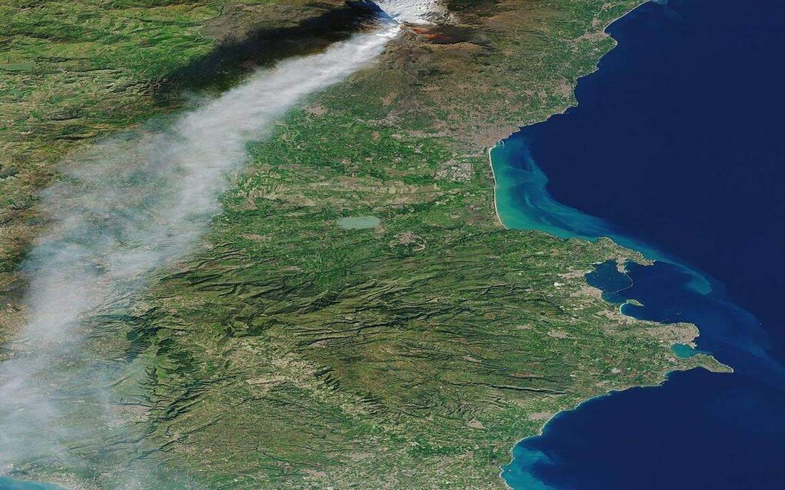
Volcanoes
Viscosity is the plot. Shield, strato, rift — three shapes from one slider.
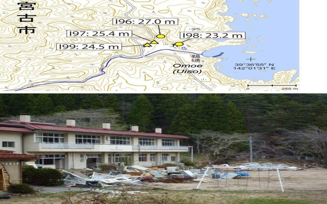
Tsunami
Seafloor slip lifts a water column. In deep water the wave is fast and low. At the coast it stands up.
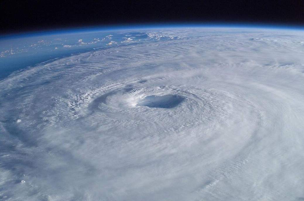
Tropical cyclone
Eye, eyewall, rainbands. Warm sea is the fuel. A UK depression is usually a different machine.
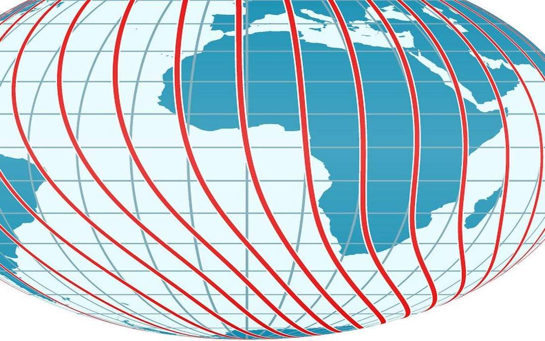
Graticule and coordinates
Latitude is how far from the equator. Longitude is how far from Greenwich. Together they are an address, not a decoration.
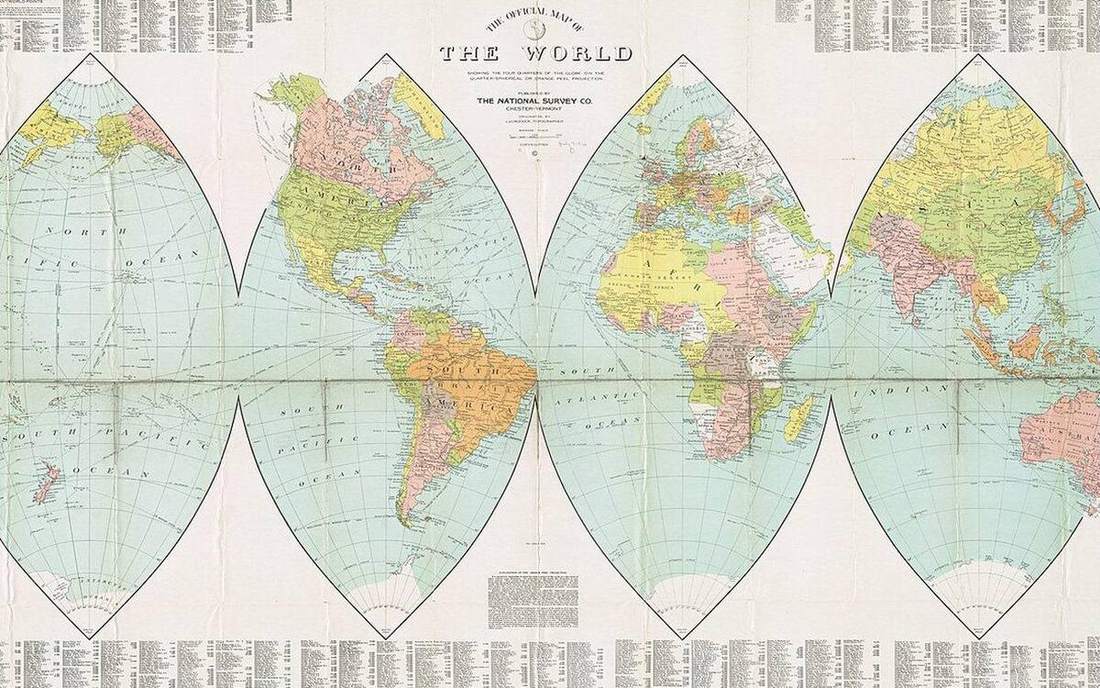
Map projections
Peel an orange and the skin tears. Every world map is a compromise. Greenland is the giveaway.
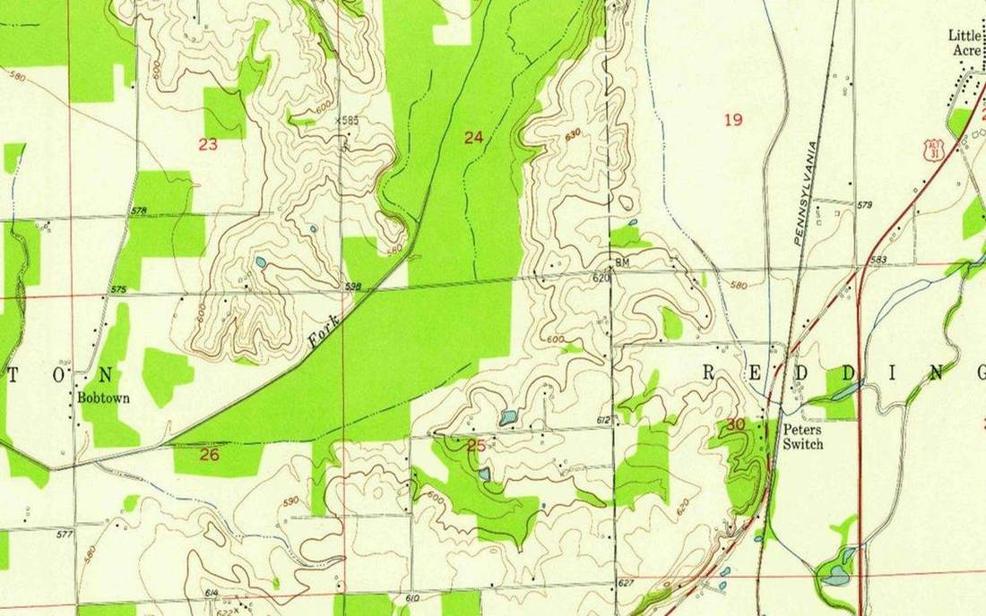
Grid references
An OS six-figure reference is a 100 m square, not a pin. Eastings then northings. Along the corridor, up the stairs.
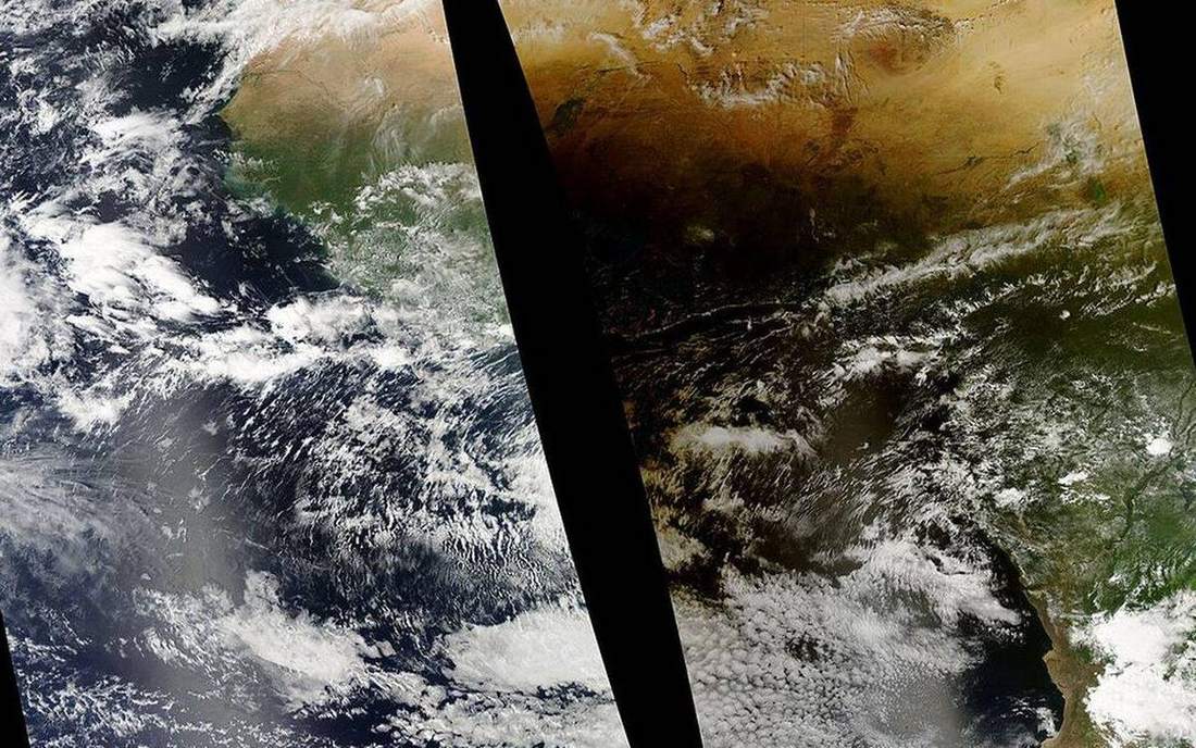
Mass movement
Holderness till does not wait for a wave. After rain the cliff rotates on a curved shear and the toe shoves the beach.
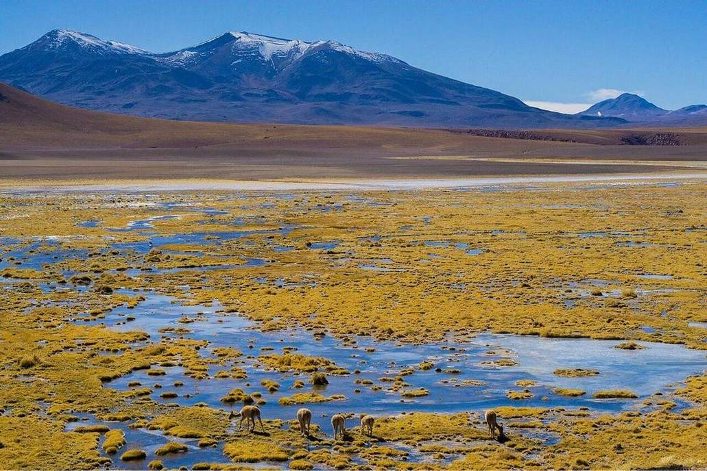
Rain shadow
The Lake District is wet on the west. Penrith, just over the ridge, is drier. The mountain is a barrier, not a cloud factory.
Groundwater
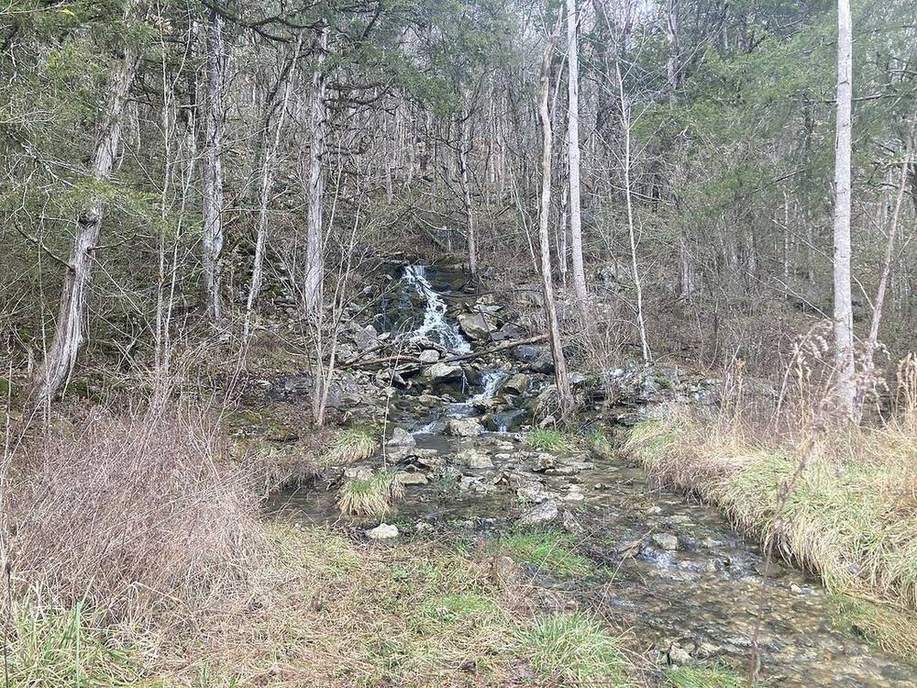
A Chalk well in Yorkshire and an Ogallala centre-pivot in Kansas both drink a store you cannot see. The water table is a surface, not a underground lake.
Isostasy
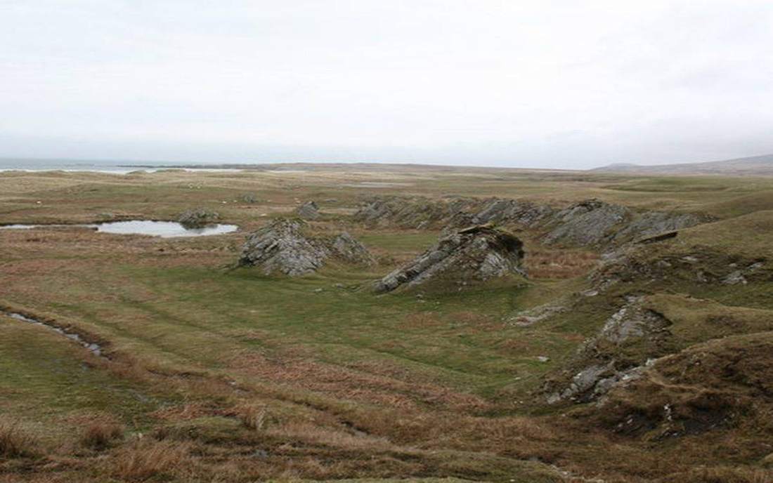
Scotland is still rising after the ice. Hudson Bay is still rising too. The crust floats. Load it, it sinks. Unload it, it comes back.
Wilson cycle
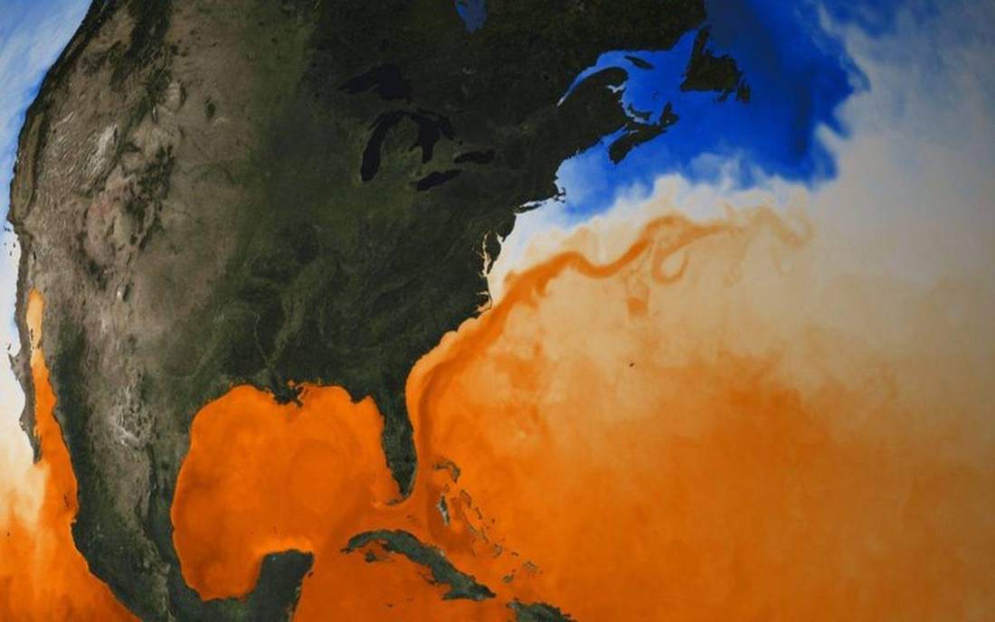
The Atlantic is opening. One day it will close. The Caledonides and the Appalachians are an older ocean that already did.
Soil catena
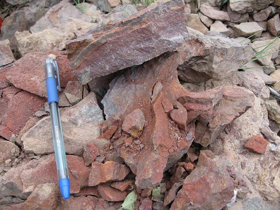
One Yorkshire hillside, four soils. Crest is thin and dry. Toe is thick and wet. The hill is the factory.
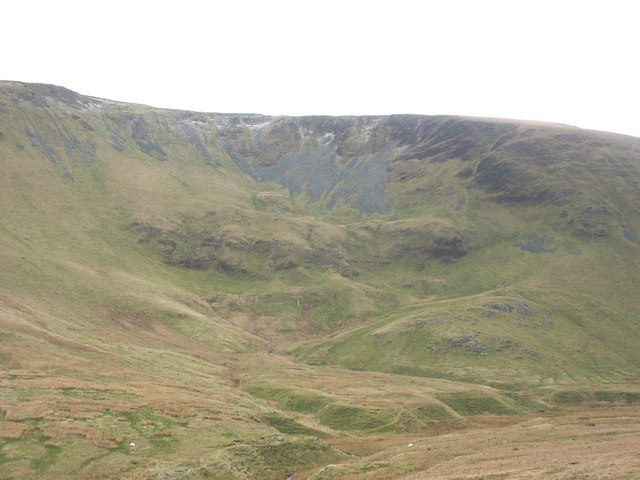
Periglacial landforms
The Cairngorms still carry freeze–thaw scars. Alaska still has ice wedges growing. Cold without a glacier is its own factory.
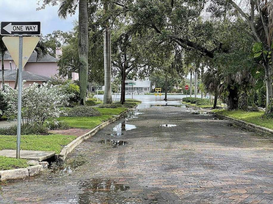
Storm surge
The 1953 North Sea flood was wind piling water onto a shelf. Katrina’s surge was the same machine on the Gulf. It is not a tsunami.
Region
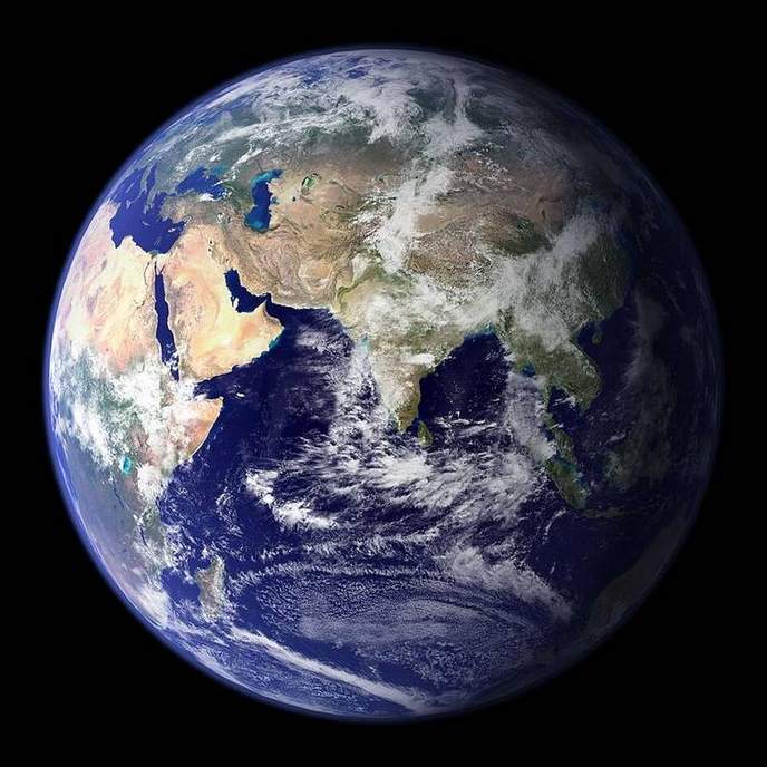
UK · London to Lerwick
UK seasonal day length
On the December solstice London keeps the Sun for about 7 h 50 m. Lerwick, in Shetland, keeps it for under six. Florida, near 28°N, still has a winter — but noon Sun stays high.
US · Miami · Central Valley
Florida and California insolation
Miami in December still sees the Sun more than 40° up at noon. London does not. Same star, different incidence.
UK · East Yorkshire
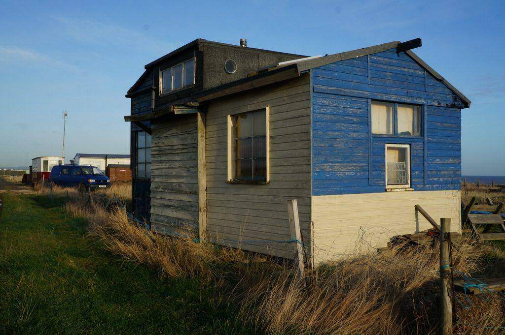
Holderness coast
Soft glacial till, a north-to-south longshore system, and villages that have already gone into the North Sea.
UK · Dorset and East Devon
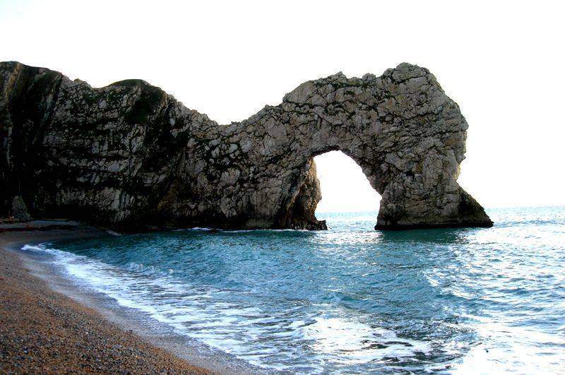
Jurassic Coast
A World Heritage rock sequence, and a coastline that writes cave–arch–stack–stump in Lias and chalk.
UK · Lake District
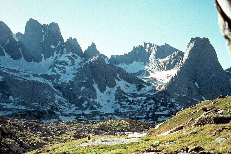
A UK upland river
Steep glacially-overdeepened valleys, waterfalls on resistant bands, and a short run to a lake or the Irish Sea.
UK · North Wales
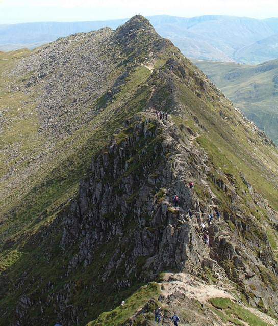
Snowdonia / Eryri
A classroom-perfect contour map: cwms, arêtes, a pyramidal peak, and a railway that cheats the gradient.
UK · North Yorkshire
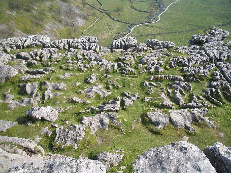
Yorkshire Dales karst
Carboniferous limestone, clints and grykes, swallow holes, and caves that take a whole beck underground.
UK · Somerset
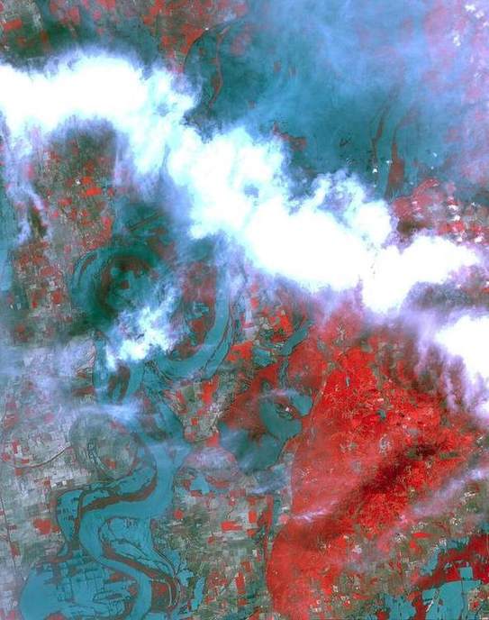
Somerset Levels
A low floodplain, peat and clay, pumped drainage, and a hydrograph that goes wrong when rain sits on saturated ground.
UK · Southern Britain
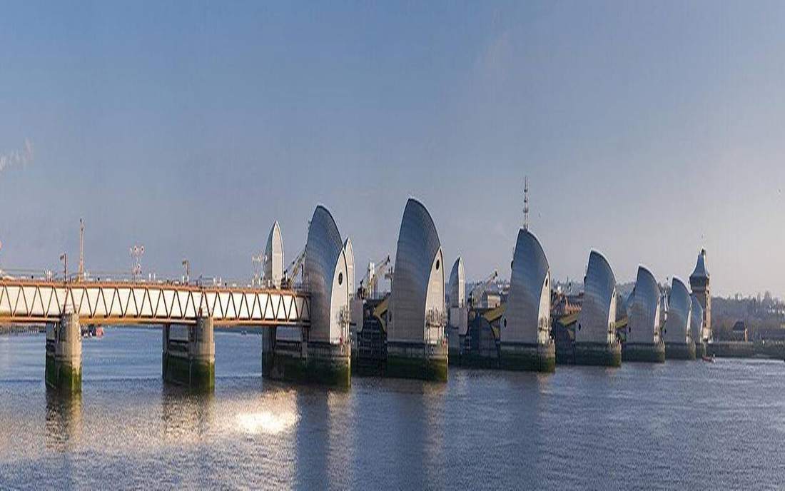
Thames and Severn
Two basins, heavy abstraction, and a tide that still owns the lower Thames.
Shared · Mid-Atlantic Ridge
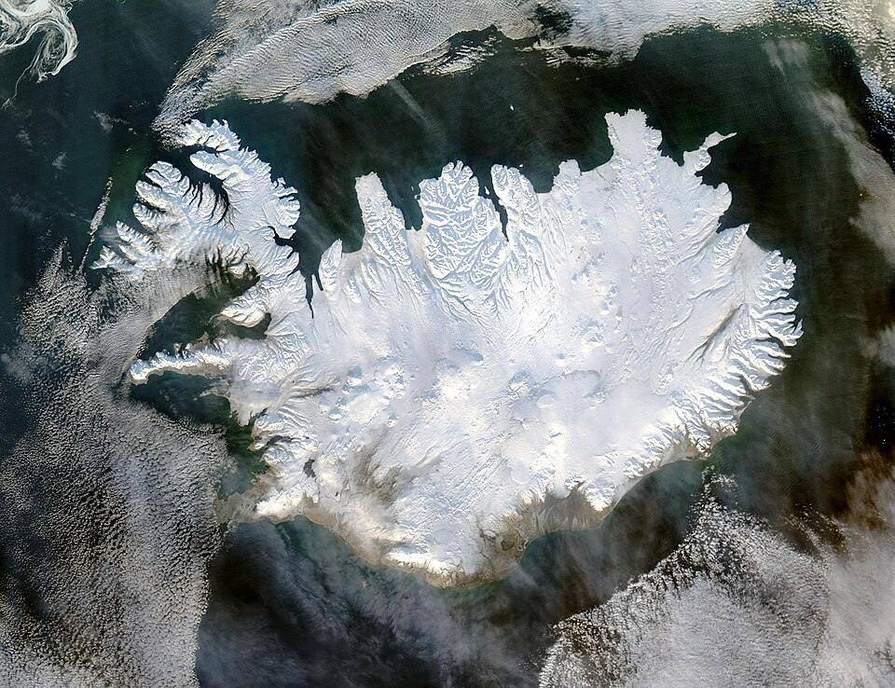
Iceland and Eyjafjallajökull
A divergent boundary above water, plus a hotspot. The 2010 ash plume closed northwest European airspace.
US · California
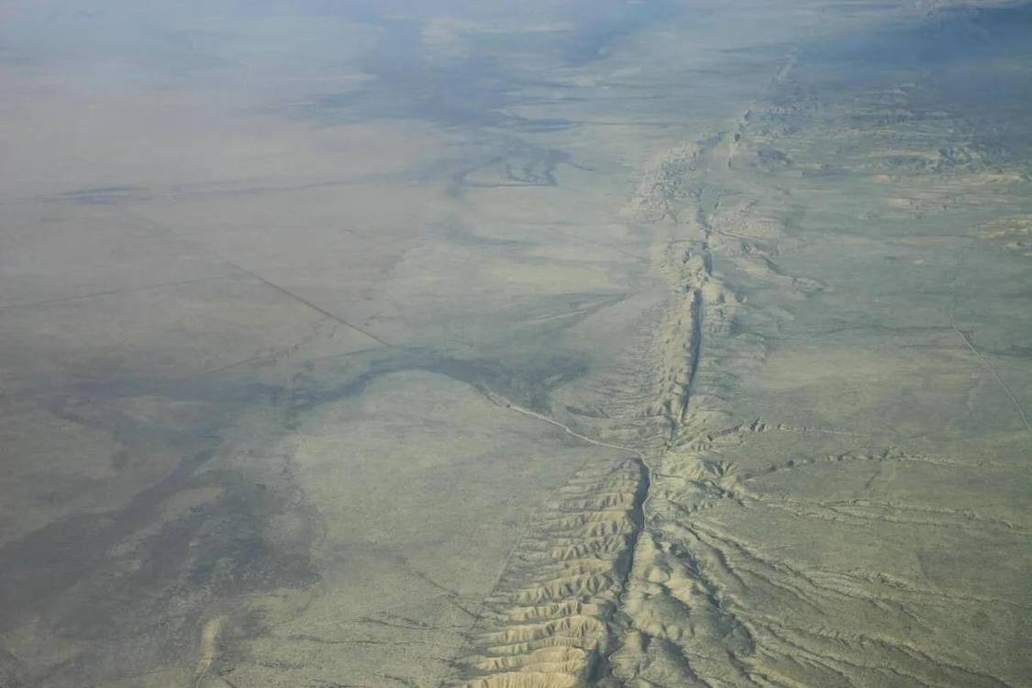
San Andreas Fault
A transform boundary you can walk. Pacific plate northwest, North American plate southeast.
US · Pacific Northwest
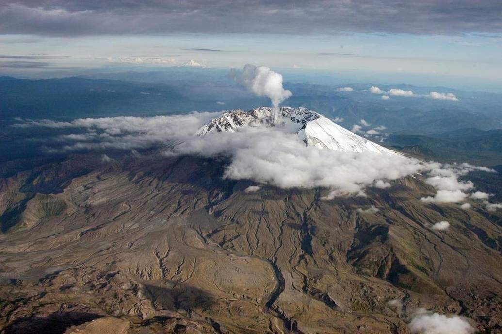
Cascadia subduction zone
A locked megathrust, a volcanic arc, and a tsunami story written in drowned forests.
US · Wyoming
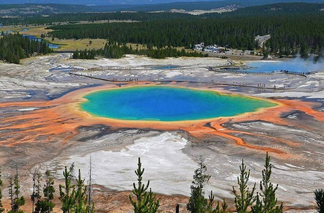
Yellowstone
A mantle plume under a continent. Caldera, hydrothermal system, and a track of older calderas toward the southwest.
US · Hawaiʻi to Emperor seamounts
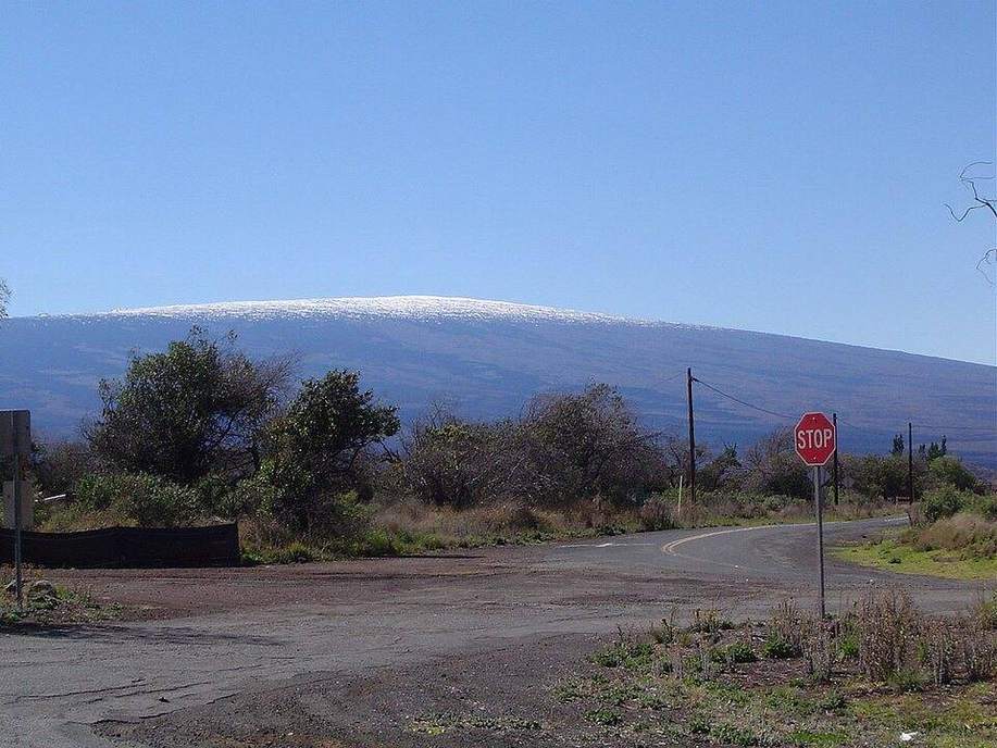
Hawaii hotspot track
A plume under an oceanic plate. Shield volcanoes, a chain that gets older toward the northwest, and a bend into the Emperor seamounts.
US · Arizona
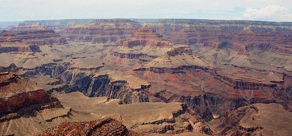
Grand Canyon
A plateau cut by a river, a stack of sedimentary rocks, and a timeline in metres of cliff.
US · Lower Mississippi
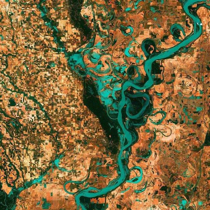
Mississippi and delta
A continental drain with levées, cut-offs, and a bird-foot delta fighting subsidence and a rising Gulf.
US · Sierra Nevada
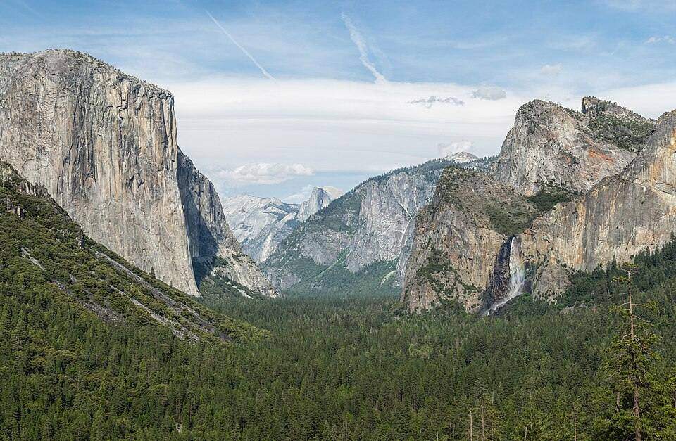
Yosemite Valley rim
A U-shaped valley so deep the rim is a cliff on the map: coincident contours and a spot height at Half Dome.
US · New Orleans · New York Bight
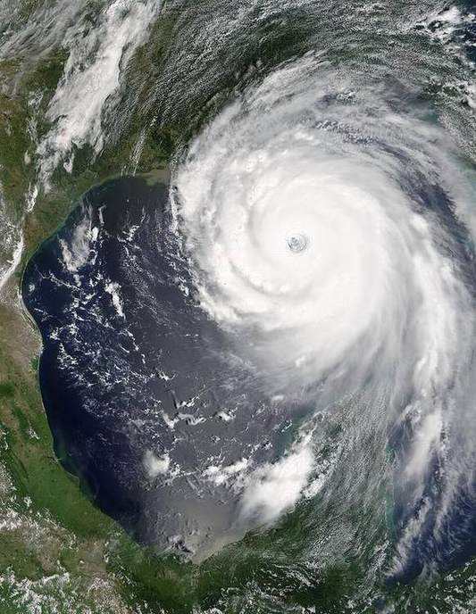
Katrina and Sandy
Two North Atlantic cyclones, two different coasts, one shared physics: low pressure, wind, surge, and a shoreline that was already under stress.
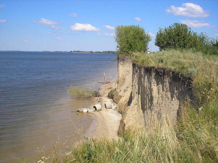
US · Southern Great Plains
Dust Bowl
A drought, a plough, and a wind that took the A horizon off the plains.
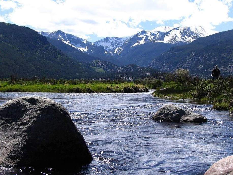
US · Powell and Mead
Colorado River reservoirs
A bathtub ring is abstraction plus a drier hydroclimate drawn on a canyon wall.
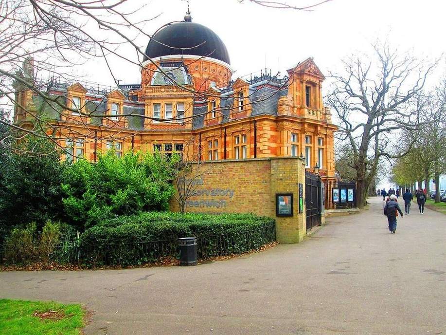
UK · London
Greenwich meridian
Longitude zero is a political choice laid on a rotating sphere. The 15°/hour arithmetic is not.
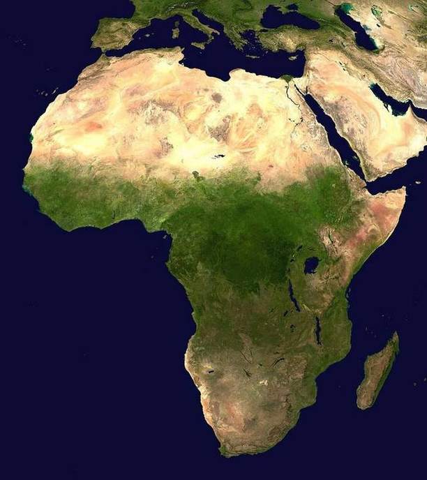
US · Eastern to Pacific
US lower-48 time zones
Four civil zones across about 60° of longitude, with jogs for state lines. The terminator ignores the jogs.
Shared · Kola Peninsula
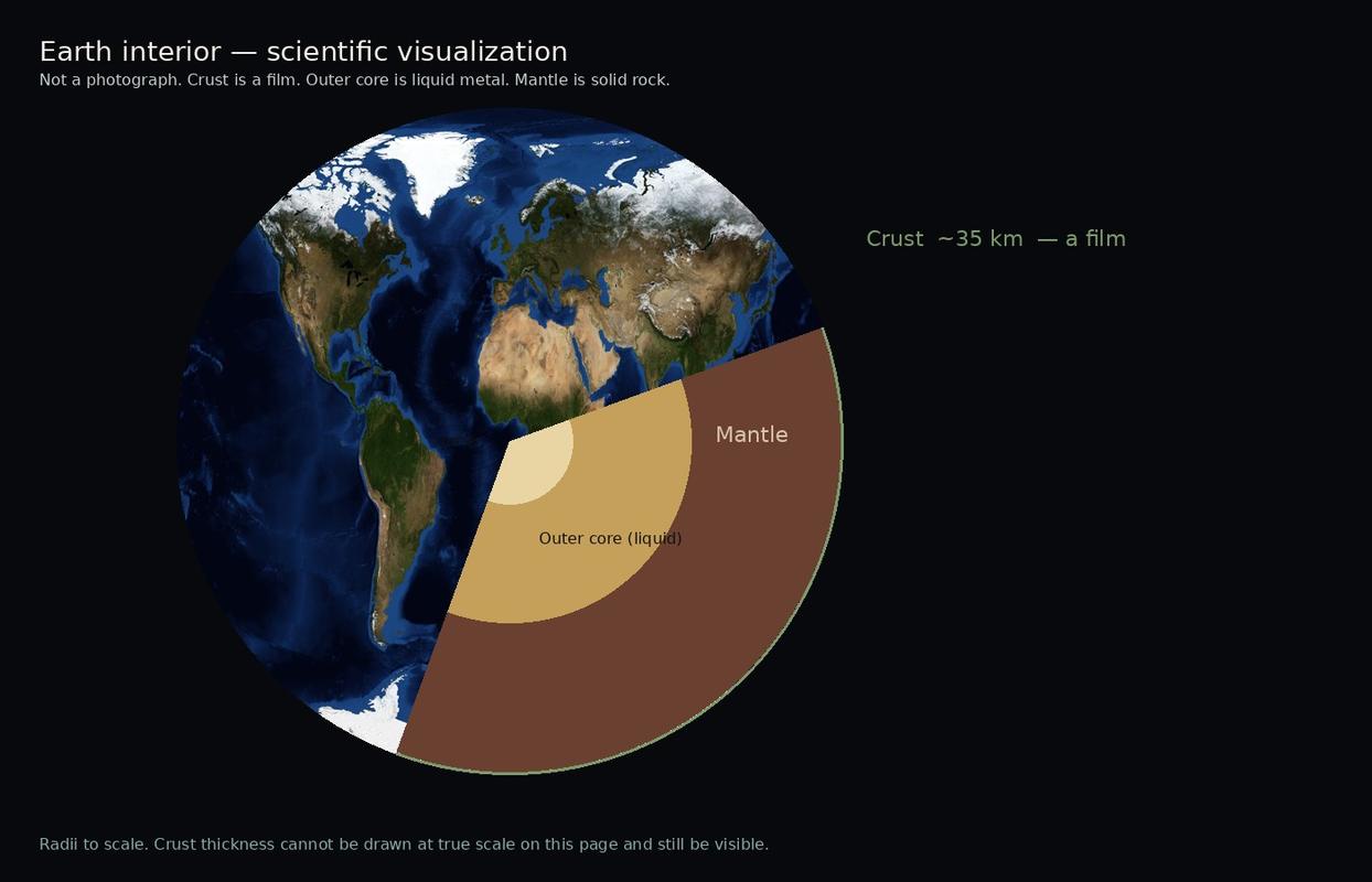
Kola Superdeep borehole
The deepest hole in rock, about 12 km. Continental crust goes on for another 20 km. The mantle was never reached.
UK · Eryri
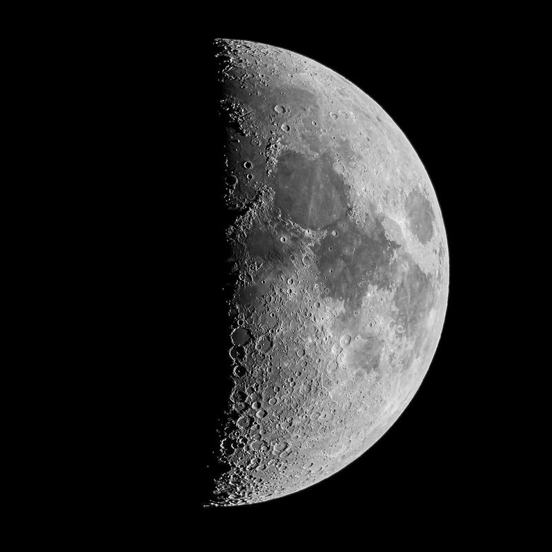
Moonrise, Snowdonia
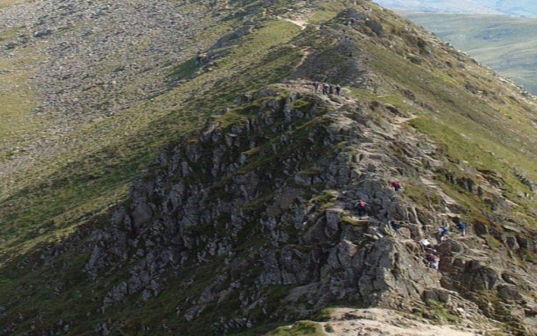
A full Moon over Tryfan is the Moon opposite the Sun. The same night, California sees the same phase.
US · Yosemite Valley
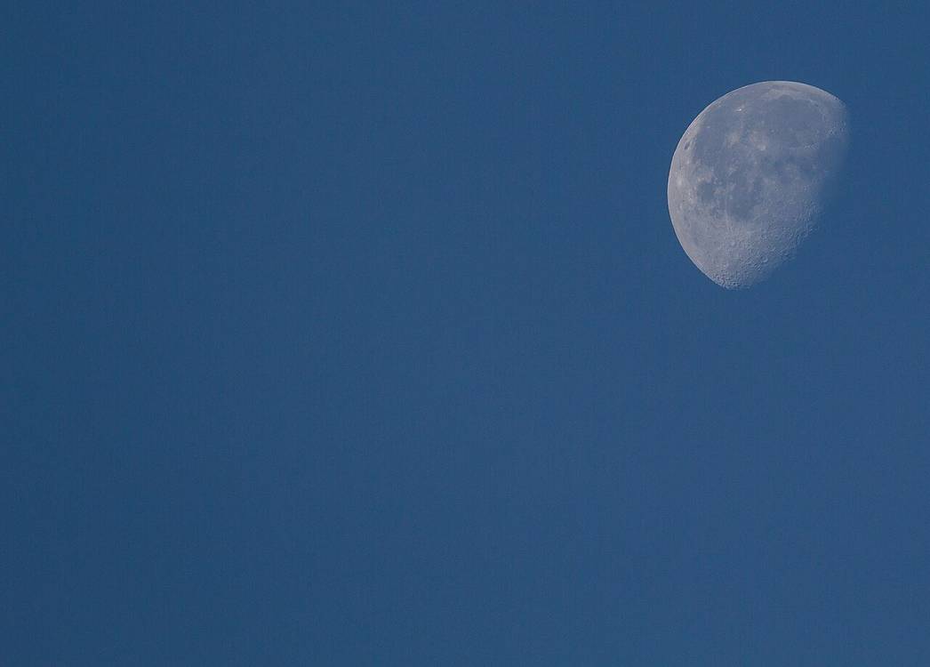
Full Moon, Yosemite
Photographers wait for a full Moon to clear Half Dome. They are waiting on geometry, not weather.
US · North Carolina
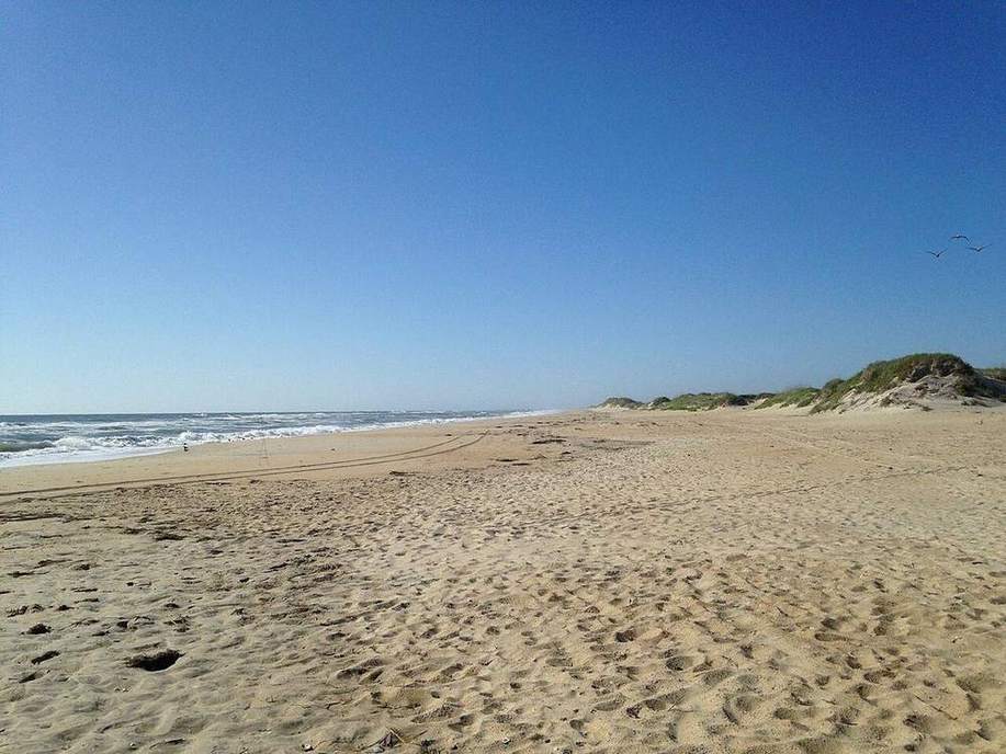
Outer Banks
A barrier-island chain, longshore drift, storm inlets, and a different sediment budget from Holderness till cliffs.
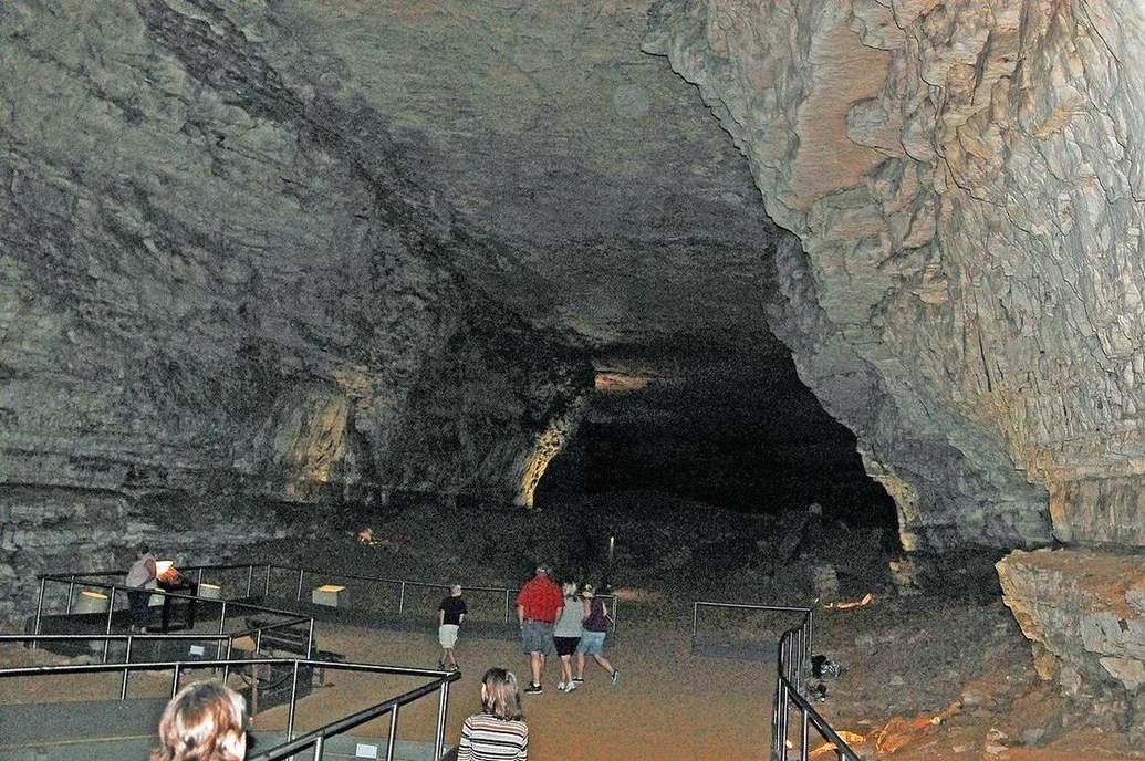
US · Kentucky
Mammoth Cave
A long carbonate cave system: the US pair to the Yorkshire Dales pavement and swallow holes.
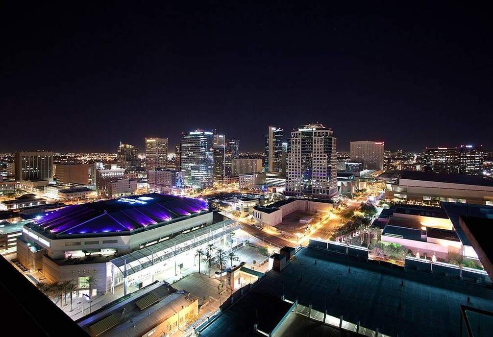
US · Arizona
Phoenix urban heat
A desert city that stores heat in asphalt and roofs. The sea breeze lab’s urban-heat toggle, at city scale.
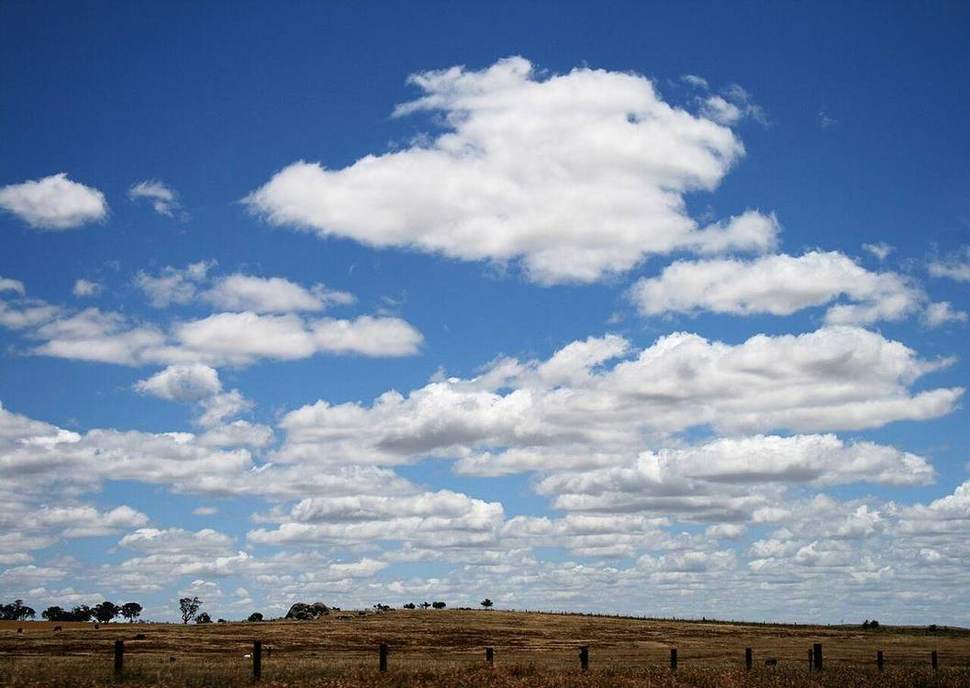
UK · South coast
UK sea breeze
A coastal school feels the sea breeze at last period for a reason: land heats, a loop starts, the cool air comes in from the water.
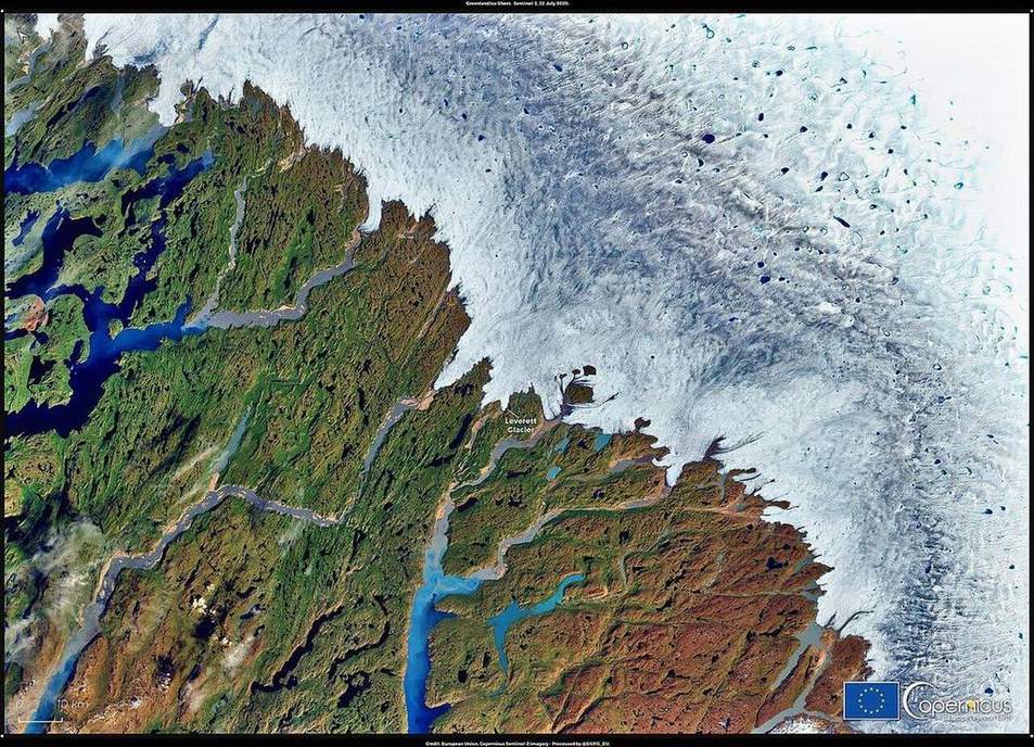
UK · Scottish Highlands
Cairngorms snow albedo
Fresh snow bounces a large share of incoming shortwave. Bare peat does not. The ground’s colour is the first control.
US · Colorado
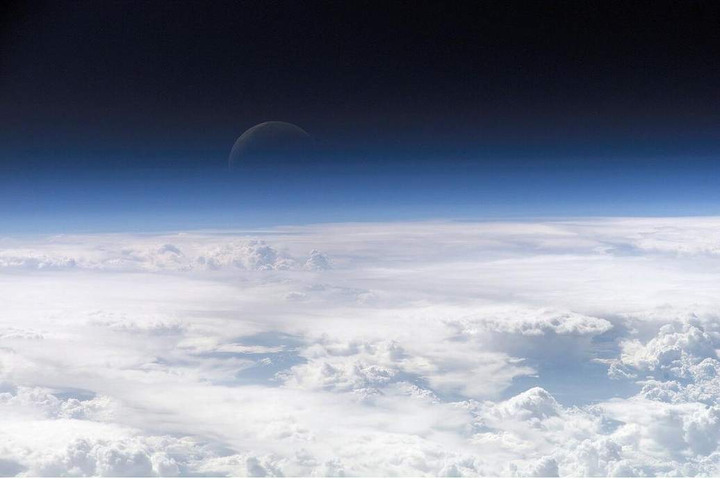
Denver mile-high air
A kilometre and a half up, the troposphere is thinner above you and the air is already the ‘high’ part of the weather layer.
East Asia · Hong Kong Island · New Territories
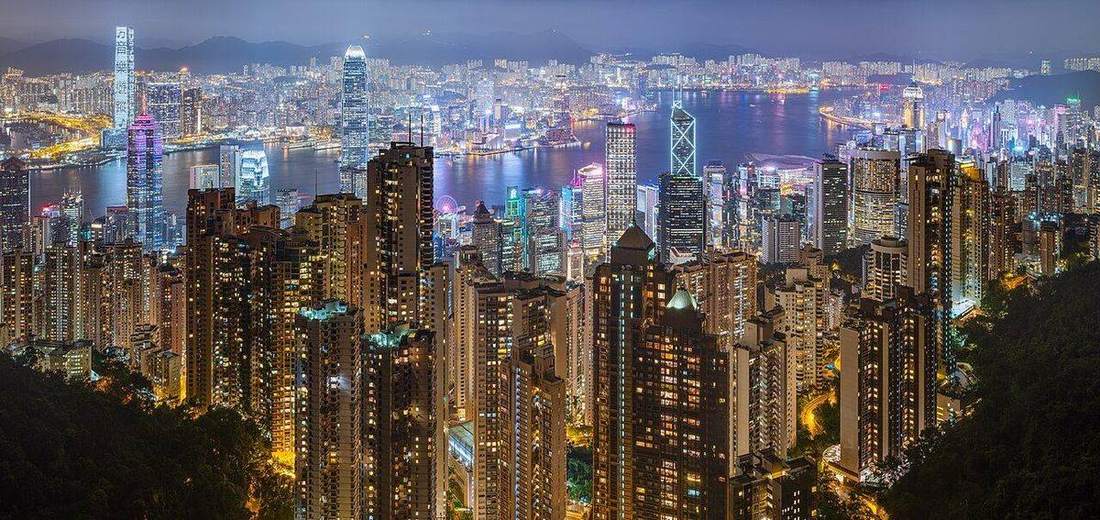
Hong Kong slopes
Weathered granite, steep catchments, a city on the toe. Holderness is till at the sea; Hong Kong is saprolite on a slope.
East Asia · Huangpu · Yangtze delta
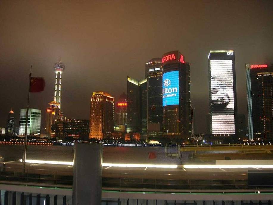
Shanghai, Meiyu and the Huangpu
A drowned river on a delta. Meiyu, tide, and a flood wall. The Mississippi is a continental drain; the Huangpu is a tidal megacity creek.
East Asia · Pearl River Delta · Hong Kong · Macau
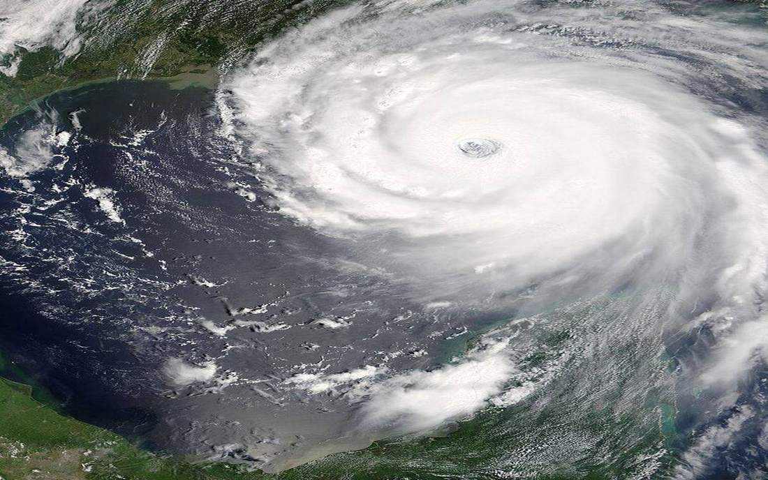
Typhoon Mangkhut
A typhoon is a tropical cyclone. The same warm-core engine as Katrina or Sandy, a western North Pacific name.
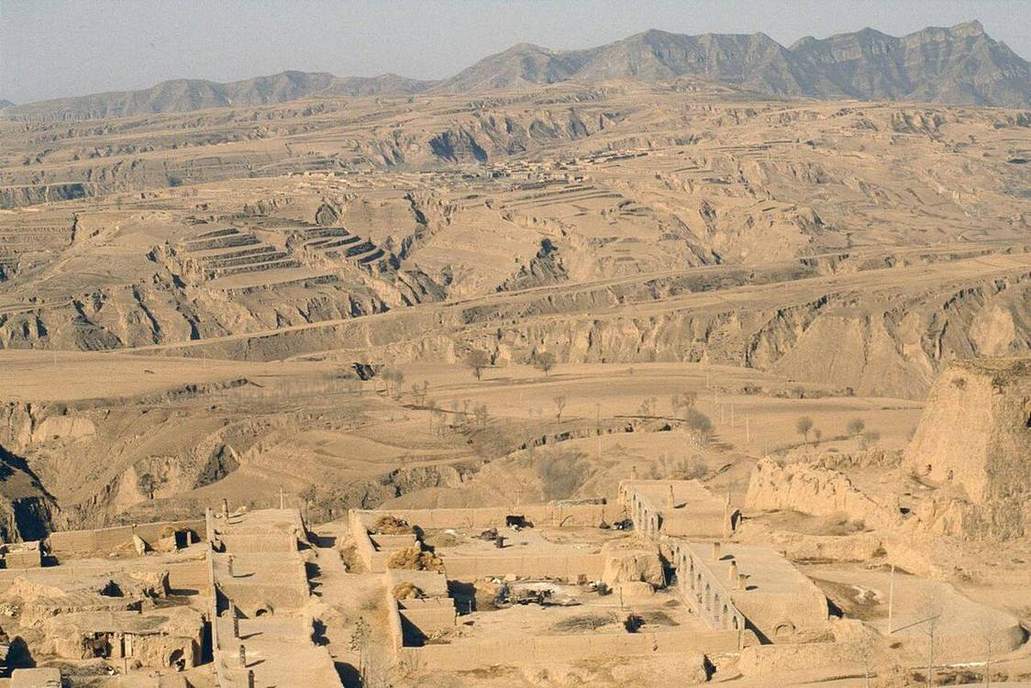
East Asia · Shaanxi · Shanxi · Gansu
Loess Plateau
Wind-laid silt, then water. A soil-erosion classroom the size of a province. The Dust Bowl is the US pair, not a meander.