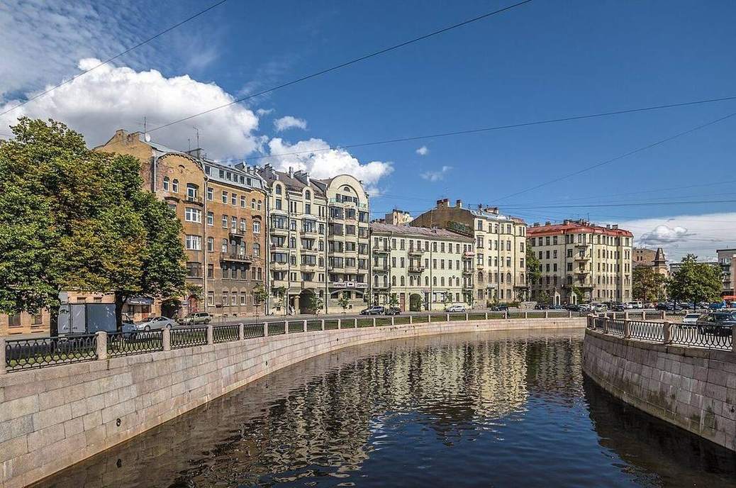
 Outer bend erodes; inner bend deposits.Wikimedia Commons, CC BY
Why this matters
Somerset Levels and the Mississippi delta are flood stories on the same long profile. Channel management — dredge, levée, dam — is an argument with energy and sediment, not a personality of the river. Lake District upper courses cut V-valleys; the Thames lower course sits on a floodplain. US levées and UK washlands are the same machine with different politics. If a class thinks a river is a blue line of constant width they will fail every landform question from knickpoint to oxbow.
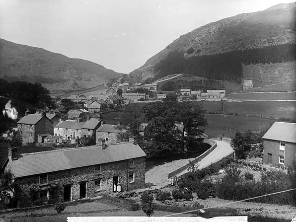 A second photograph for the projector script — not the lab cover.Wikimedia Commons / NASA / USGS
The mechanism
A river is a slope with water on it. Upper course: steep, vertical erosion, V-valley, knickpoints. Middle: meanders, helicoidal flow, erosion on the outer bend, deposition on the inner. Lower: floodplain, levées, then a delta or, in tidal UK, often an estuary. What moves: water and sediment. What does not: the long-profile idea of energy falling downstream. What is conserved: water as a budget, sediment until it is dropped. Discharge widens and deepens the channel here; play cuts a neck toward an oxbow. The valley is a schematic long profile, not a traced catchment. Vertical exaggeration ×12 on the long profile — T flattens it to a true gradient. UK ‘deltas’ are often estuaries because of tides. Say so.
How to drive the model
Walk source to mouth with labels off. Ask the class to name each station. Raise discharge and freeze on the floodplain. Play the oxbow once, then rewind. Keyboard: Space play, arrows, L labels, R reset, P projector. The discharge slider is the flood. Labels on only after they have named V-valley, knickpoint, meander, levée, delta.
If the model will not spin
The valley is a schematic long profile, not a traced catchment. Without the 3D view: source, V-valley, knickpoint, meander, floodplain, levée, mouth. Energy falls downstream. UK mouths are often estuaries. Mississippi builds a delta. Discharge up, floodplain wet. Play cuts an oxbow. That is enough for Check on paper.
Film
How Rivers Shape the Landscape: Crash Course Geography #22. Crash Course Geography. About 11 min. Crash Course / Complexly on YouTube. Standard YouTube licence. Educational embed, autoplay off. Autoplay off.
Misconceptions
Rivers always take the shortest path to the sea.
They meander on low gradients. The shortest path is a cutoff after a flood, not the default.
Upper, middle and lower course are three different rivers.
They are stations on one long profile. Energy and load change downstream.
Every UK river ends in a delta like the Mississippi.
Many UK mouths are estuaries because of tides. A classic delta needs a large load and modest tidal range.
Long profile
Height of the bed from source to mouth.
 long profile in the rivers lab — a TERMS crop, not the glossary plate and not the lab cover. A TERMS crop, not the glossary plate and not the lab cover. Source: Wikimedia Commons / NASA / USGS / NOAA, public domain or CC.Wikimedia Commons / NASA / USGS / NOAA, public domain or CC
Competence
Largest particle the flow can move.
 Competence in the rivers lab — a TERMS crop, not the glossary plate and not the lab cover. Largest particle the flow can move. Source: Wikimedia Commons / NASA / USGS / NPS, public domain or CC.Wikimedia Commons / NASA / USGS / NPS, public domain or CC
Meander
A bend. Erosion on the outer bank, deposition on the inner (slip-off slope).
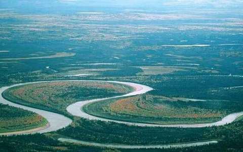 Meander in the rivers lab — a TERMS crop, not the glossary plate and not the lab cover. A bend. Source: Wikimedia Commons / NASA / USGS / public domain.Wikimedia Commons / NASA / USGS / public domain
Oxbow
Abandoned meander loop, left as a lake, then a wetland, then a meander scar.
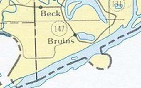 Oxbow in the rivers lab — a TERMS crop, not the glossary plate and not the lab cover. Abandoned meander loop, left as a lake, then a wetland, then a meander scar. Source: Wikimedia Commons / NASA / USGS / public domain.Wikimedia Commons / NASA / USGS / public domain
Levée
Raised bank of coarse load dumped as floodwater leaves the channel.
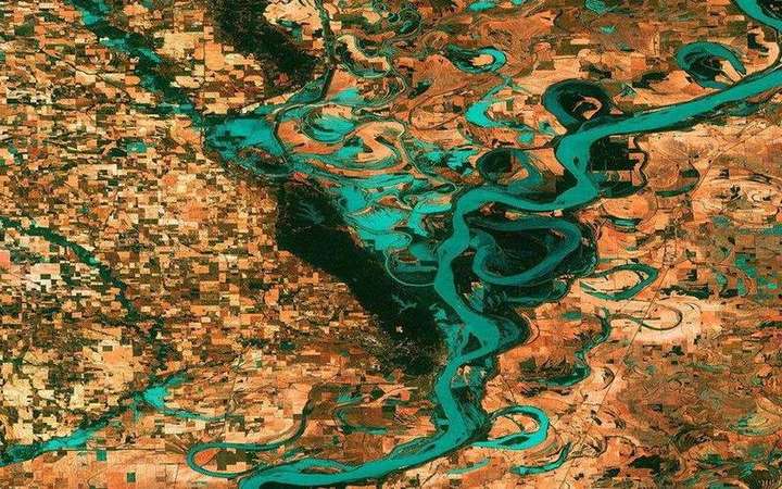 Levée: a matching field photograph or official scientific figure. A levée (UK) or levee (US) is a raised bank along a channel, natural from overbank silt or built as a flood wall. Source: Wikimedia Commons / NASA / USGS / public domain.Wikimedia Commons / NASA / USGS / public domain
Delta
Distributaries and deposited load at a river mouth.
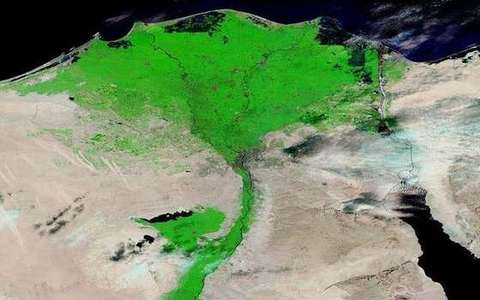 Delta in the rivers lab — a TERMS crop, not the glossary plate and not the lab cover. Distributaries and deposited load at a river mouth. Source: Wikimedia Commons / NASA / USGS / public domain.Wikimedia Commons / NASA / USGS / public domain