Case study · UK
A UK upland river
Lake District
Steep glacially-overdeepened valleys, waterfalls on resistant bands, and a short run to a lake or the Irish Sea.
Locator · OpenStreetMap / OpenFreeMap · 54.45°, -3.09°
A Lake District beck in spate is the upper course of the rivers lab made walkable. Gradient is steep. The channel is narrow. Vertical erosion cuts a V into a valley that ice had already overdeepened into a U. Waterfalls sit on resistant bands — Borrowdale volcanic rocks, Skiddaw slates, granite — with plunge pools and retreat of the nick point.
Upper-course landforms sit close together. Students can stand at a waterfall and look downstream to a ribbon lake. The long profile is short. There is often no classic delta, because the load meets a lake or a tide that can take it. Compare the Mississippi: same processes, different scale and a different coast.
Contour Vs in the valley floors are the same Vs as in the contours lab. A spur between two becks shows Vs pointing downhill. A stream in a trough shows Vs pointing uphill. OS Explorer interval is 10 m. The 3D hill in the contours lab is this skill without the sheep.
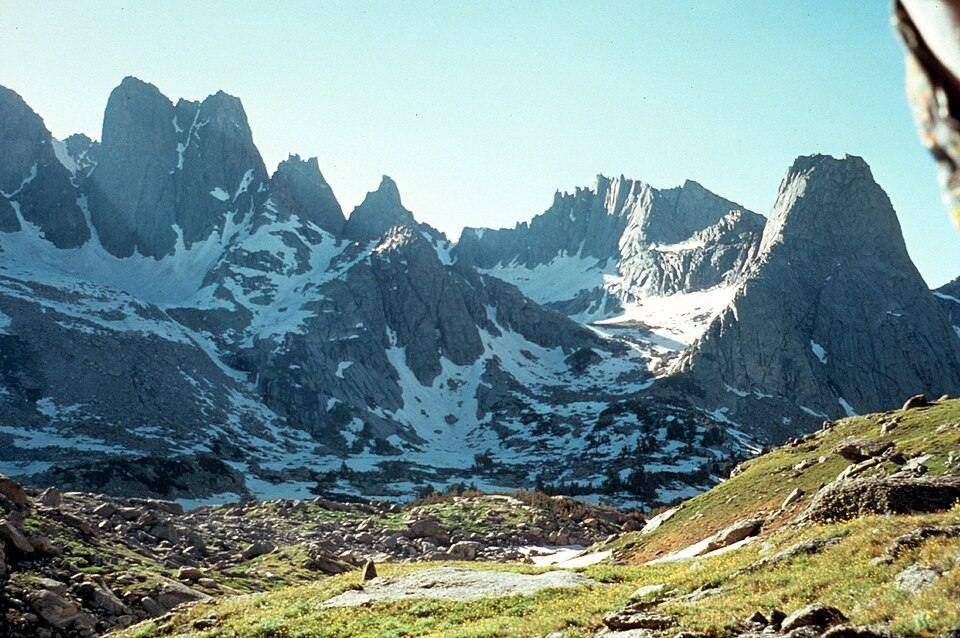
Ice is the older author. Cirques (cwms), arêtes, and a pyramidal peak sit above the fluvial work. Helvellyn’s Red Tarn is a cirque lake. Striding Edge is an arête. The river lab does not invent those; the glaciers lab does. A good path walks ice first, then water.
Exam-style question
Explain why a Lake District valley may be U-shaped in cross-profile but still host a V-shaped inner channel.
Teacher hint: Glacial trough, then post-glacial stream cutting a V into the floor.
Sources
- OS / BGS Northern England
- National Trust / Lake District National Park