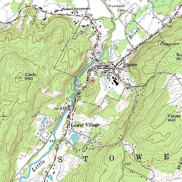
 A hill wearing a disguise.USGS, public domain
Why this matters
A GCSE map question is a hill wearing a disguise. The spur and the valley are the same lines, bending opposite ways. Walk a contour on Snowdonia and you neither climb nor descend. Yosemite’s valley walls pack the lines; the floor opens them. OS 1:25 000 and USGS quads both hide the hill in the interval. If a student counts lines instead of intervals they will misread every height question. North is not up the slope.
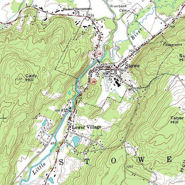 A second photograph for the projector script — not the lab cover.Wikimedia Commons / NASA / USGS
The mechanism
A contour joins equal height. Walk it and you neither climb nor descend. Packed lines: steep. Open lines: gentle. A V pointing upslope is a valley; a V pointing downslope is a spur. What moves in this lab: the interval slider, the 2D/3D flip. What does not: the hill. What is conserved: height along a line. Interval is the step between lines, not the line count. Spot heights and trig points are extras. The hill is a schematic contour model, not a traced OS sheet. Vertical scale is readable, not a 1:1 mountain. The lie is the pretty slope; the skill is reading the disguise. Flip 2D to 3D and the same V must still be a valley.
How to drive the model
Start in 2D. Ask spur or valley on the marked V. Flip to 3D without telling them. Change interval from 5 m to 20 m and ask what disappeared. Keyboard: L labels, R reset, P projector. Students count intervals, not lines. North is not ‘up the slope’. Reset view if the hill has been orbited into a puzzle.
If the model will not spin
The hill is a schematic contour model, not a traced OS sheet. Vertical scale is readable, not a 1:1 mountain. Without the 3D view: packed lines are steep, open lines are gentle, a V pointing upslope is a valley, a spur bends the other way. Count intervals, not lines. North is a grid, not the slope. That is enough for Check, and enough to sit an OS extract without the 3D crutch.
Film
How Does the Earth Create Different Landforms? Crash Course Geography #19. Crash Course Geography. About 13 min. Crash Course / Complexly on YouTube. Standard YouTube licence. Educational embed, autoplay off. Autoplay off.
Misconceptions
Contours are paths.
They are height. A path may follow a contour, but the line itself is not a trail.
The V of a contour always points downhill.
Valley Vs point uphill (upstream). Spur Vs point downhill. Same ink, opposite jobs.
You count the brown lines to get the height change.
Count the intervals (gaps) and multiply by the contour interval. Five gaps at 10 m is 50 m.
Contour
Line joining points of equal height above datum.
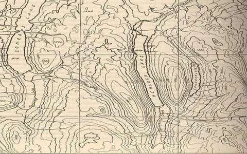 Contour in the contours lab — a TERMS crop, not the glossary plate and not the lab cover. Line joining points of equal height above datum. Source: Wikimedia Commons / NASA / USGS / NPS, public domain or CC.Wikimedia Commons / NASA / USGS / NPS, public domain or CC
Contour interval
The height step between adjacent contours.
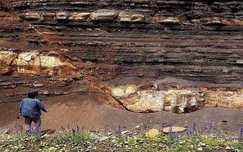 contour interval in the contours lab — a TERMS crop, not the glossary plate and not the lab cover. A TERMS crop, not the glossary plate and not the lab cover. Source: Wikimedia Commons / NASA / USGS / NOAA, public domain or CC.Wikimedia Commons / NASA / USGS / NOAA, public domain or CC
Spot height
A surveyed point with a printed elevation.
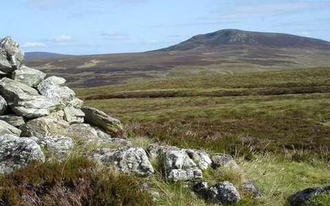 spot height in the contours lab — a TERMS crop, not the glossary plate and not the lab cover. A TERMS crop, not the glossary plate and not the lab cover. Source: Wikimedia Commons / NASA / USGS / NOAA, public domain or CC.Wikimedia Commons / NASA / USGS / NOAA, public domain or CC
Spur
A ridge of high ground. Contours V downhill.
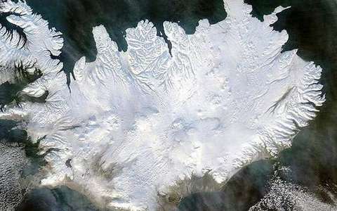 spur in the contours lab — a TERMS crop, not the glossary plate and not the lab cover. A TERMS crop, not the glossary plate and not the lab cover. Source: Wikimedia Commons / NASA / USGS / NOAA, public domain or CC.Wikimedia Commons / NASA / USGS / NOAA, public domain or CC
Valley
Low ground, often with a stream. Contours V uphill.
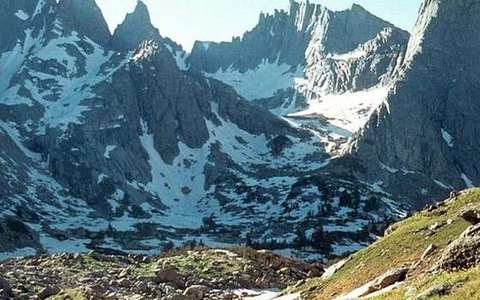 valley in the contours lab — a TERMS crop, not the glossary plate and not the lab cover. A TERMS crop, not the glossary plate and not the lab cover. Source: Wikimedia Commons / NASA / USGS / NOAA, public domain or CC.Wikimedia Commons / NASA / USGS / NOAA, public domain or CC
Knoll
A small isolated hill: closed contour loops.
 knoll in the contours lab — a TERMS crop, not the glossary plate and not the lab cover. A TERMS crop, not the glossary plate and not the lab cover. Source: Wikimedia Commons / NASA / USGS / NOAA, public domain or CC.Wikimedia Commons / NASA / USGS / NOAA, public domain or CC