Case study · US
Yosemite Valley rim
Sierra Nevada
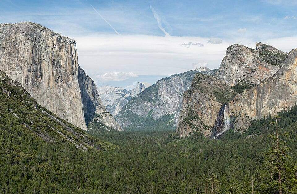
A U-shaped valley so deep the rim is a cliff on the map: coincident contours and a spot height at Half Dome.
Locator · OpenStreetMap / OpenFreeMap · 37.74°, -119.57°
USGS quads make the same spur/valley argument as an OS sheet. The interval is just in feet on older plates. Yosemite Valley is a glacial trough in granite. Hanging valleys dump waterfalls (Yosemite Falls, Bridalveil). El Capitan and Half Dome are the walls. Moraines sit down-valley. Cirques and arêtes sit in the high Sierra above.
The glaciers lab’s U-trough, hanging valley, and truncated spur are this place. The contours lab’s coincident lines are the cliffs. A full Moon over Half Dome is the moon-phases geometry — the same phase as Snowdonia that night, a different rise time because Earth is still rotating.
Ice here is mostly gone as glaciers; the landforms remain. Students should not say ‘Yosemite is a canyon like the Grand Canyon.’ One is ice, one is a river in a plateau. Cross-profile tells them apart.
Exam-style question
How would a contour map distinguish Yosemite Valley from a V-shaped river gorge of similar depth?
Teacher hint: U: wide flat floor, steep walls, hanging valleys. V: evenly closing contours to a stream.
Sources
- USGS / NPS Yosemite