Case study · US
Mississippi and delta
Lower Mississippi
A continental drain with levées, cut-offs, and a bird-foot delta fighting subsidence and a rising Gulf.
Locator · OpenStreetMap / OpenFreeMap · 29.15°, -89.25°
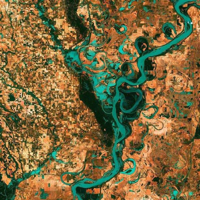
The long profile ends in stiller water and a huge load. Tides in the Gulf here are modest, so a delta can persist. Distributaries, levées, and a floodplain the size of a country are the lower-course kit. The 1927 flood and the Old River Control Structure are human attempts to keep the river from jumping to the Atchafalaya — a capture story at engineering scale.
Meander cut-offs, oxbows, and artificial straightening sit on the same helicoidal-flow logic as the rivers lab. Raise discharge and competence rises; the floodplain takes water when the levée is overtopped or fails. Hurricane Katrina’s flooding of New Orleans was a storm-surge and levée-failure story on this coast, not a simple fluvial hydrograph — keep the mechanisms honest.
Compare a Lake District beck: same processes, no delta, because the load and the coast disagree. Compare the Nile or the Ganges only if you keep the numbers sourced. This case is USGS and USACE territory.
Exam-style question
Explain why the Mississippi can maintain a bird-foot delta while many UK rivers end in estuaries.
Teacher hint: Huge load, modest tides, shallow Gulf. UK: smaller load, larger tidal range, often drowned valleys.
Sources
- USGS Mississippi River
- USACE Mississippi River & Tributaries