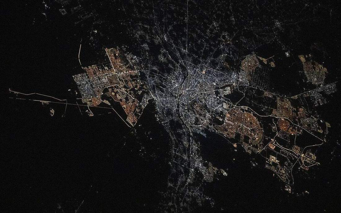
 A delta from orbit: load dumped into still water. This is the classroom sense of river-deposition: a named landform, process, or object. Source: Wikimedia Commons / NASA / USGS / NOAA, public domain or CC.Wikimedia Commons / NASA / USGS / NOAA, public domain or CC
Why this matters
When the water slows, the load sits down. A Lake District beck rarely builds a classic delta because the load meets a lake or a tide that can take it. The Mississippi drops a continental load into a modest-tide Gulf and keeps a bird-foot delta. Somerset Levels are floodplain and levée at UK scale. Many UK rivers end in estuaries because tidal range and a drowned coast outpace delta building. GCSE AQA 3.1.3.1 and A-level fluvial both need that split. Channel management — dredge, levée, cut-off — fights or copies these processes. Students who label a UK estuary a delta to tidy the diagram will misread Holderness’s neighbour coasts and the Mississippi alike. Slip-off slope, levée, floodplain, delta, estuary: five names, one slowing.
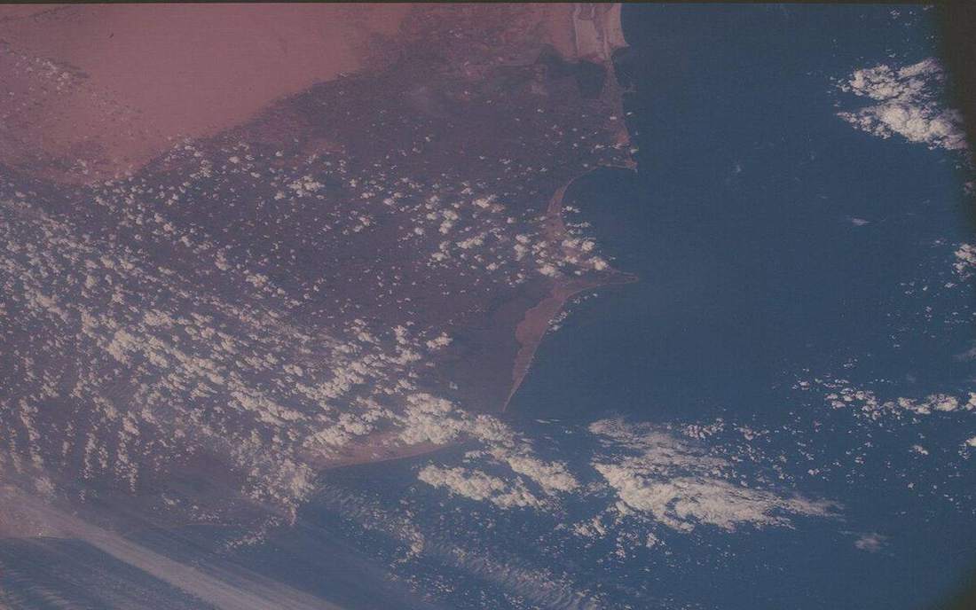 Field photograph or official scientific figure for teaching river deposition. A second photograph for the projector script — not the lab cover. Source: Wikimedia Commons / NASA / USGS / NOAA, public domain or CC.Wikimedia Commons / NASA / USGS / NOAA, public domain or CC
The mechanism
Helicoidal flow in a meander dumps on the inner bend: that is the slip-off slope, or point bar. The outer bank is the cut bank, eroded, not deposited. In flood, water leaves the channel; coarse load dumps first on the banks and builds levées; the rest of the floodplain takes finer sediment. A delta grows where a river enters stiller water faster than tides and waves can steal the load. An estuary is a tidal mouth: mixing, often no classic delta. Estuary if tides win; delta if load wins. Mississippi: huge load, modest tides. Many UK mouths: smaller load, larger tidal range, often a drowned valley. Play the lab and the flood stage rises; overbank water is the floodplain argument. Vertical exaggeration is labelled ×8 so meander, levée and delta fingers read from the back of the room. The channel is a schematic meander, not the Parrett or the Mississippi traced. Water is a thin surface. Every river does not build a delta. Tides and waves can steal the load. Raised banks are levées, not walls invented by engineers — though engineers copy them. Somerset Levels sit on this machine at UK scale; the bird-foot at the Gulf is the same slowing with more sand.
How to drive the model
Point inner bank versus outer. Name the slip-off slope on the inside before you reveal the tag. Raise the idea of flood: coarse load on the banks is levées; the floodplain is the rest. Play until the delta fingers read, then ask estuary or delta and why a UK mouth often loses. Keyboard: space, arrows, L labels, R reset. Vertical exaggeration is ×8 and labelled. Play once, rewind, name the five landforms. Finish in Check. The wrong answer is that every river builds a delta.
If the model will not spin
Without the 3D view: when water slows, load sits down. Inner bend: slip-off. Flood: levées and floodplain. Delta if load wins; estuary if tides win. Many UK rivers end in estuaries. Mississippi: huge load, modest tides. Somerset Levels are deposition at another scale. Vertical exaggeration is ×8 and labelled. Do not label a UK estuary a delta to make the diagram tidy. Helicoidal flow dumps on the inside; the outer bank is the cut. Engineers copy levées; they did not invent the process.
Film
How Rivers Shape the Landscape: Crash Course Geography #22. Crash Course Geography. About 11 min. Crash Course / Complexly on YouTube. Standard YouTube licence. Educational embed, autoplay off. Autoplay off.
Misconceptions
Every river builds a delta.
Tides and waves can steal the load. Many UK mouths are estuaries.
The outer bank is where the river dumps sand.
Outer is the cut bank. Inner is the slip-off slope. Helicoidal flow.
Levées are only built by engineers.
Natural levées are coarse flood deposits on the banks. Engineers copy them.
Slip-off slope
Deposition on the inner bend of a meander.
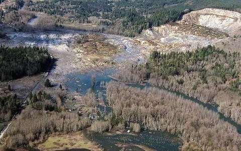 slip off slope in the river-deposition lab — a TERMS crop, not the glossary plate and not the lab cover. A TERMS crop, not the glossary plate and not the lab cover. Source: Wikimedia Commons / NASA / USGS / NOAA, public domain or CC.Wikimedia Commons / NASA / USGS / NOAA, public domain or CC
Cut bank
The outer bank, eroded by faster flow.
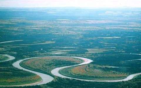 cut bank in the river-deposition lab — a TERMS crop, not the glossary plate and not the lab cover. A TERMS crop, not the glossary plate and not the lab cover. Source: Wikimedia Commons / NASA / USGS / NOAA, public domain or CC.Wikimedia Commons / NASA / USGS / NOAA, public domain or CC
Levée
Raised bank of coarse flood deposits.
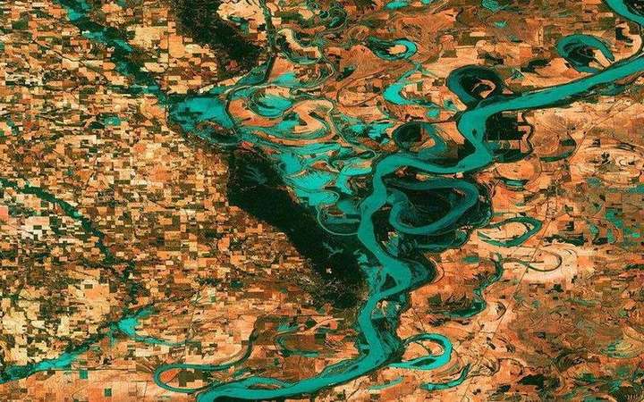 Levée: a matching field photograph or official scientific figure. A levée (UK) or levee (US) is a raised bank along a channel, natural from overbank silt or built as a flood wall. Source: Wikimedia Commons / NASA / USGS / public domain.Wikimedia Commons / NASA / USGS / public domain
Floodplain
The floor a river builds and occasionally floods beside the channel.
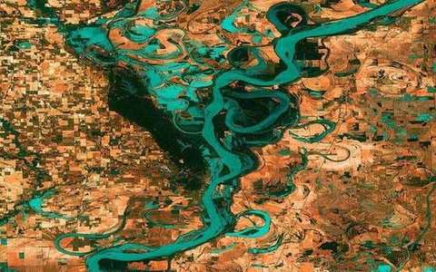 Floodplain in the river-deposition lab — a TERMS crop, not the glossary plate and not the lab cover. The floor a river builds and occasionally floods beside the channel. Source: Wikimedia Commons / NASA / USGS / public domain.Wikimedia Commons / NASA / USGS / public domain
Delta
Load dropped into stiller water faster than tides and waves can steal it.
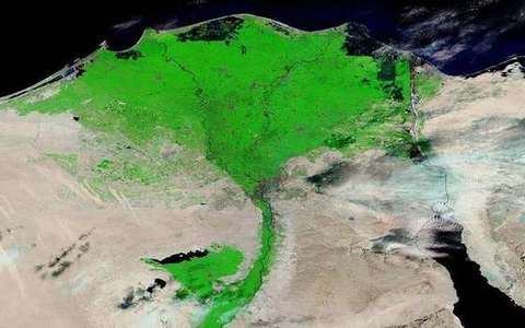 Delta in the river-deposition lab — a TERMS crop, not the glossary plate and not the lab cover. Load dropped into stiller water faster than tides and waves can steal it. Source: Wikimedia Commons / NASA / USGS / public domain.Wikimedia Commons / NASA / USGS / public domain
Estuary
Tidal mouth. Mixing, often no classic delta.
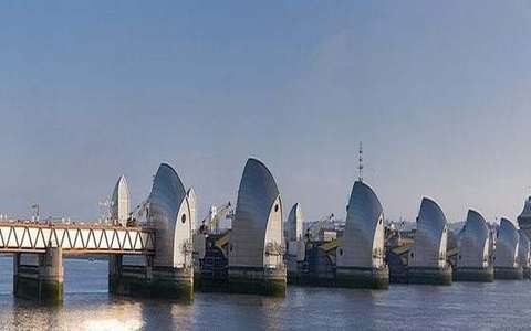 Estuary in the river-deposition lab — a TERMS crop, not the glossary plate and not the lab cover. Tidal mouth. Source: Wikimedia Commons / NASA / USGS / public domain.Wikimedia Commons / NASA / USGS / public domain
Helicoidal flow
The corkscrew current in a meander: outer erosion, inner deposition.
 helicoidal flow in the river-deposition lab — a TERMS crop, not the glossary plate and not the lab cover. A TERMS crop, not the glossary plate and not the lab cover. Source: Wikimedia Commons / NASA / USGS / NOAA, public domain or CC.Wikimedia Commons / NASA / USGS / NOAA, public domain or CC