Case study · UK
Somerset Levels
Somerset
A low floodplain, peat and clay, pumped drainage, and a hydrograph that goes wrong when rain sits on saturated ground.
Locator · OpenStreetMap / OpenFreeMap · 51.13°, -2.83°
The Somerset Levels are a flood story written on a almost-flat long profile. Rivers such as the Parrett and Tone meander across peat and clay. Gradient is tiny. When rain is heavy and the ground is already wet, there is nowhere for water to go but up and out. The 2013–14 floods sat on villages for weeks. That is a hydrograph with a fat falling limb, not a flashy upland peak.
Land use matters. Drained pasture, rhynes (ditches), pumps, and a few raised towns. Urban surfaces upstream shorten lag. Saturated peat does not infiltrate. High tide in the Parrett can hold fluvial water back — a reminder that a drainage basin has a mouth with its own schedule.
Management is a choice among dredging, pumping, wetland restoration, and ‘making space for water’. Each changes a different part of the hydrograph. Dredging argues about channel efficiency. Restoration argues about storage on the floodplain. Students should be able to sketch both and say who wins in a wet January.
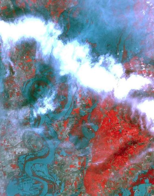
Pair with the Mississippi: levées, cut-offs, and a bird-foot delta. Same machine, continental scale. The Levels are the UK size of that argument.
Exam-style question
Using the idea of lag time, explain why the Somerset Levels can stay flooded long after the rain has stopped.
Teacher hint: Low gradient, saturated peat, tide lock, limited storage exit. Long falling limb.
Process labs
Sources
- Environment Agency — Somerset
- UKCEH hydrology