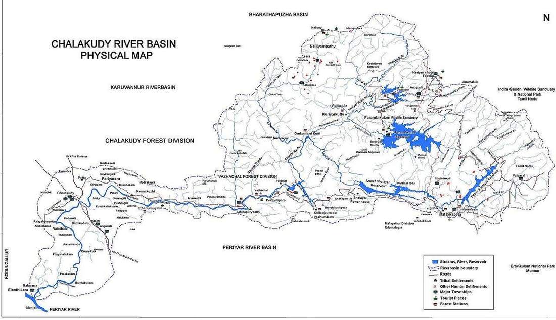
 A divide, then a mouth.NASA, public domain
Why this matters
The Thames and the Mississippi are the same diagram at different size. A GCSE class that can name source, tributary, confluence and mouth on a Thames tributary tree can read the Mississippi without a new theory. The Severn and the Thames share a divide: rain on one side is this river, rain on the other is someone else’s. Colorado’s basin is the same rim at a drier number — dams and abstraction sit inside a watershed, they do not redraw it. Flood warnings, water-company licences, and a school fieldwork sheet all start with one question: which hillside drains here? The basin is the collecting surface, not the blue line on the OS sheet. US counties and UK Environment Agency catchments are administrative names laid on this physical machine. Holderness is a different coast; this lab is the inland bowl that feeds a river to a mouth.
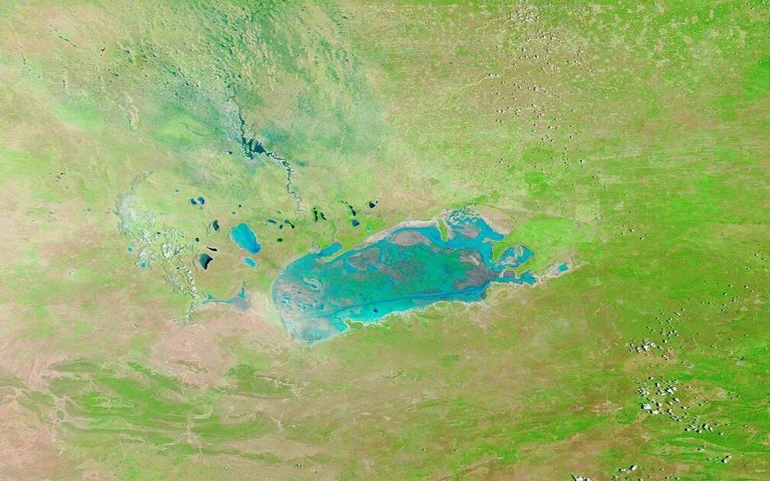 Field photograph or official scientific figure for teaching drainage basin. A second photograph for the projector script — not the lab cover. Source: Wikimedia Commons / NASA / USGS / NOAA, public domain or CC.Wikimedia Commons / NASA / USGS / NOAA, public domain or CC
The mechanism
A drainage basin is the area of land drained by a river and its tributaries, bounded by a watershed — the drainage divide. Precipitation that falls inside the rim becomes this river’s budget; the other side belongs to a neighbour. Source is where channelised flow begins, often a spring or a gathering of rills. A tributary is a joining stream. A confluence is where they meet. The mouth is where the river exits to sea, lake, or a larger river, and it is not always a delta. The channel is only the drain. Hillsides, soils, floodplain and channel together are the basin. Overlay on: the rim lights as a line you can trace. Overlay off: you still have to point at it on the hill. Vertical exaggeration is labelled ×8 so the bowl reads from the back of the room; a real Thames divide can be a low ridge or a field boundary, not a crater rim. Size is not type. Stations stay the same from a Lake District beck to the Mississippi. Rain on one side of the rim is this river. Rain on the other is someone else’s. Do not confuse the watershed with a building. Do not teach the blue OS line as the whole catchment.
How to drive the model
Toggle Basin overlay on. Trace the rim before any station names. Hide labels with L and ask the class to point: source, tributary, confluence, mouth. Toggle the overlay off and make them find the divide on the hill alone. Orbit the bowl; it is a 3D catchment, not a 2D paint fill. Step the camera from source hill to mouth so each station fills the frame. The green rim is the overlay, not a painted county. Keyboard: L labels, R reset. No year slider — this is a static machine. Finish in Check.
If the model will not spin
Without the 3D view: a rim, a source, tributaries joining at a confluence, a mouth. Rain inside the rim is this river; rain outside is another. The basin is the hillside that drains here, not just the channel. Thames and Mississippi are the same stations at different kilometres. A watershed is a divide, not a garden shed. Vertical exaggeration is a teaching lie; the real divide can be a hedge. Overlay on or off, the divide is still the budget edge. Dams on the Colorado sit inside the rim. Mouth is the exit — estuary or delta as the coast allows.
Film
How Rivers Shape the Landscape: Crash Course Geography #22. Crash Course Geography. About 11 min. Crash Course / Complexly on YouTube. Standard YouTube licence. Educational embed, autoplay off. Autoplay off.
Misconceptions
The basin is just the channel.
It is the whole hillside that drains here.
A watershed is a building that stores water.
Watershed means drainage divide — the rim. Say the word as a divide.
The mouth is always a delta.
The mouth is the exit. Tides and waves can steal the load; many UK rivers end in estuaries.
Watershed
The rim of a drainage basin. Rain inside is this river; rain outside is another.
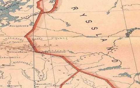 Watershed in the drainage-basin lab — a TERMS crop, not the glossary plate and not the lab cover. The rim of a drainage basin. Source: Wikimedia Commons / NASA / USGS / public domain.Wikimedia Commons / NASA / USGS / public domain
Drainage basin
The area of land drained by a river and its tributaries, bounded by the watershed.
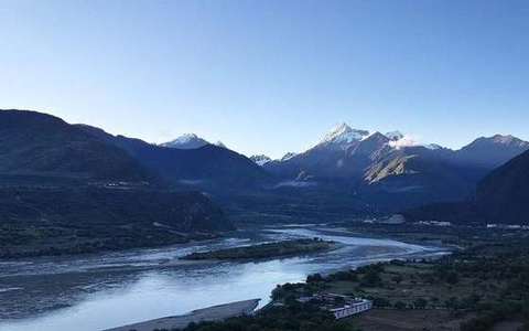 Drainage basin in the drainage-basin lab — a TERMS crop, not the glossary plate and not the lab cover. The area of land drained by a river and its tributaries, bounded by the watershed. Source: Wikimedia Commons / NASA / USGS / public domain.Wikimedia Commons / NASA / USGS / public domain
Source
Where channelised flow begins — a spring, a gathering of rills, or a lake outlet.
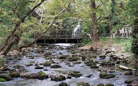 source in the drainage-basin lab — a TERMS crop, not the glossary plate and not the lab cover. A TERMS crop, not the glossary plate and not the lab cover. Source: Wikimedia Commons / NASA / USGS / NOAA, public domain or CC.Wikimedia Commons / NASA / USGS / NOAA, public domain or CC
Tributary
A stream that joins a larger channel.
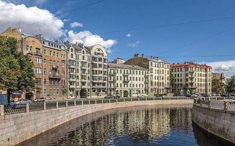 tributary in the drainage-basin lab — a TERMS crop, not the glossary plate and not the lab cover. A TERMS crop, not the glossary plate and not the lab cover. Source: Wikimedia Commons / NASA / USGS / NOAA, public domain or CC.Wikimedia Commons / NASA / USGS / NOAA, public domain or CC
Confluence
The meeting of two streams.
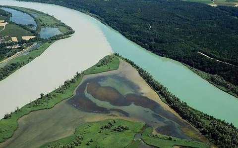 Confluence in the drainage-basin lab — a TERMS crop, not the glossary plate and not the lab cover. The meeting of two streams. Source: Wikimedia Commons / NASA / USGS / public domain.Wikimedia Commons / NASA / USGS / public domain
Mouth
Where the river exits to sea, lake, or a larger river. Not always a delta.
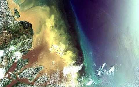 Mouth in the drainage-basin lab — a TERMS crop, not the glossary plate and not the lab cover. Where the river exits to sea, lake, or a larger river. Source: Wikimedia Commons / NASA / USGS / public domain.Wikimedia Commons / NASA / USGS / public domain
Interfluve
The higher ground between neighbouring channels, inside the basin.
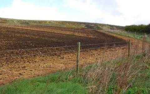 interfluve in the drainage-basin lab — a TERMS crop, not the glossary plate and not the lab cover. A TERMS crop, not the glossary plate and not the lab cover. Source: Wikimedia Commons / NASA / USGS / NOAA, public domain or CC.Wikimedia Commons / NASA / USGS / NOAA, public domain or CC