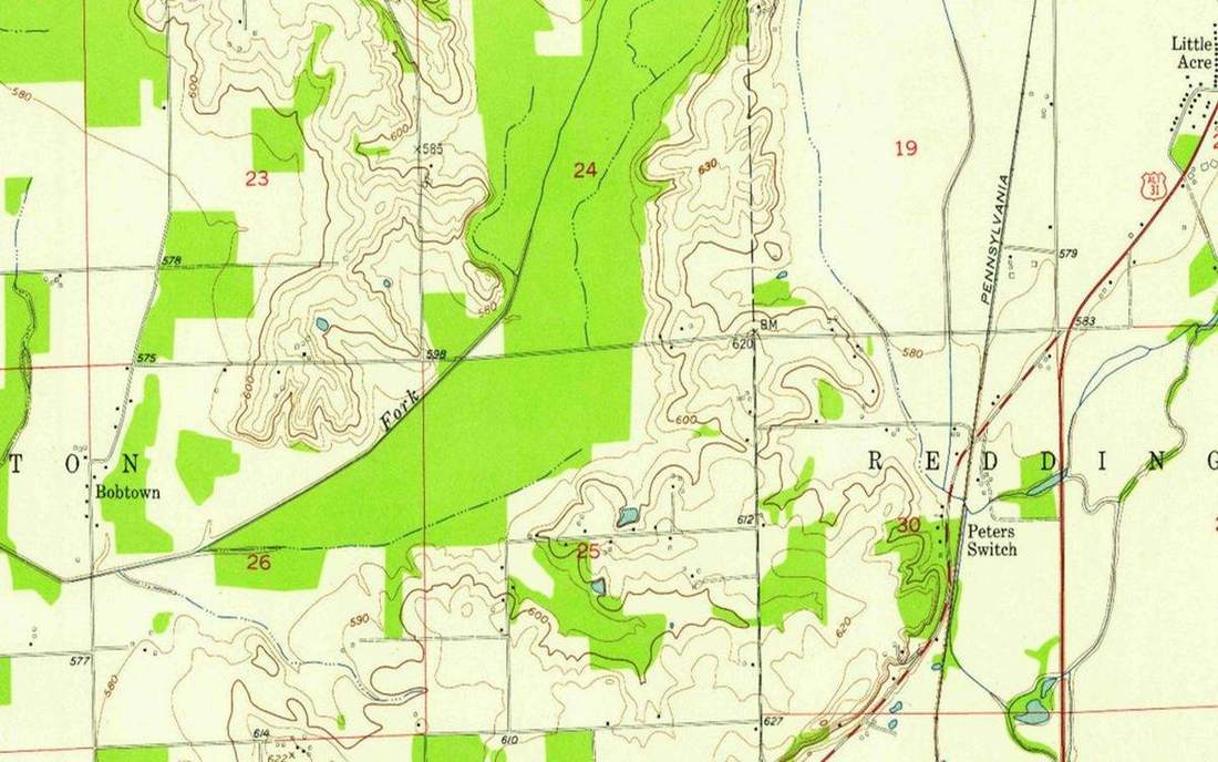
 A national grid on a topographic sheet. This is the classroom sense of grid-references: a named landform, process, or object. Source: Wikimedia Commons / NASA / USGS / NOAA, public domain or CC.Wikimedia Commons / NASA / USGS / NOAA, public domain or CC
Why this matters
GCSE paper 3 lives here. Walkers on Snowdonia still use six-figure references; phones hide them behind a pin. The OS sheet of Eryri is a projected kilometre grid, not lat/long. Yosemite’s USGS quad is a different national grid — often feet on older plates — the same idea of a square on a projected plane, different letters and units. Lake District tiles use the same OSGB habit: eastings then northings. Rescue, Duke of Edinburgh, and the map paper all punish northings first. A six-figure is a 100 m square you can stand in, not a lamp-post. Along the corridor, up the stairs is still the mnemonic that earns marks. A missed digit on a mountain day is a 100 m error you can walk; a swapped easting and northing is a kilometre in the wrong direction. Phones will not sit the exam.
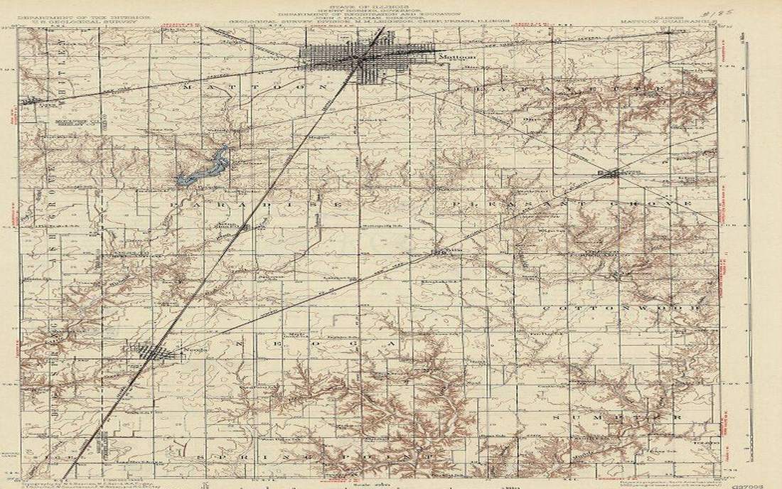 Field photograph or official scientific figure for teaching grid references. A second photograph for the projector script — not the lab cover. Source: Wikimedia Commons / NASA / USGS / NOAA, public domain or CC.Wikimedia Commons / NASA / USGS / NOAA, public domain or CC
The mechanism
You read a grid reference eastings then northings. Along the corridor, then up the stairs. The blue grid is a kilometre. A four-figure reference names a 1 km square by its south-west corner: 1234 means easting 12, northing 34. Six-figure splits that square into a 100 m cell. Eight-figure is 10 m. This is not lat/long. OSGB is a projected kilometre grid on Great Britain. The graticule lab is the sphere. GPS is a pin on WGS84; it is something else, then converted for the sheet. A six-figure is a square, not a single lamp-post. Northings first is the classic mark-loser. The numbers increase east and north from a false origin south-west of the Isles. 100 km letters (SH, NY) name the big square; this lab’s tile is the numbers inside one square. Each extra pair of digits divides by ten. To plot: find the easting to the west of the point, then the northing to the south, then estimate tenths inside the square. That estimate is why six-figure is 100 m, not a pin. Never read the numbers as latitude. Never start with the northing. The school mnemonic is not a joke; it is the mark scheme.
How to drive the model
Give a six-figure. Wait for fingers on the tile. Eastings first, then northings. Then drop the marker. Reverse: hide the numbers, ask the class to read. Scrub Easting and Northing so the point walks. Play so the marker walks the tile and freeze when the six-figure matches the one on the board. Ask which 1 km square you are in before you ask the 100 m cell. Point at the easting arrow first. Keyboard: L labels, R reset. Easting and Northing sliders live in the control bar. The readout prints the six-figure and the 1 km square.
If the model will not spin
The tile is a schematic grid, not a traced OS sheet of Snowdonia. The 100 m cell is a square you can see, not a surveyed lamp-post. Blue lines are the kilometre grid; the inner mesh is the 100 m split of one square. Houses on the tile are props, not addresses. Without the 3D view: eastings then northings; four-figure is 1 km by the south-west corner; six-figure is 100 m; this is OSGB, not the graticule; GPS is a different tool.
Film
What is a Map? Crash Course Geography #2. Crash Course Geography. About 11 min. Crash Course / Complexly on YouTube. Standard YouTube licence. Educational embed, autoplay off. Autoplay off.
Misconceptions
A six-figure reference is a single lamp-post.
It is a 100 m square. Eight-figure is 10 m. GPS is something else.
You read northings first, then eastings.
Eastings then northings. Along the corridor, up the stairs. Northings first is the classic mark-loser.
OS grid is the same as lat/long.
OSGB is a projected kilometre grid on Great Britain. The graticule lab is the sphere. GPS on WGS84 is a third tool.
Easting
How far east in the grid. Read first. Along the corridor.
 easting in the grid-references lab — a TERMS crop, not the glossary plate and not the lab cover. A TERMS crop, not the glossary plate and not the lab cover. Source: Wikimedia Commons / NASA / USGS / NOAA, public domain or CC.Wikimedia Commons / NASA / USGS / NOAA, public domain or CC
Northing
How far north in the grid. Read second. Up the stairs.
 northing in the grid-references lab — a TERMS crop, not the glossary plate and not the lab cover. A TERMS crop, not the glossary plate and not the lab cover. Source: Wikimedia Commons / NASA / USGS / NOAA, public domain or CC.Wikimedia Commons / NASA / USGS / NOAA, public domain or CC
Four-figure grid reference
Names a 1 km square by its south-west corner.
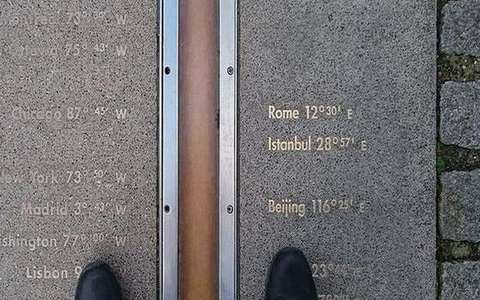 four figure grid reference in the grid-references lab — a TERMS crop, not the glossary plate and not the lab cover. A TERMS crop, not the glossary plate and not the lab cover. Source: Wikimedia Commons / NASA / USGS / NOAA, public domain or CC.Wikimedia Commons / NASA / USGS / NOAA, public domain or CC
Six-figure grid reference
Locates a 100 m square on the OS grid. Not a pin.
 six figure grid reference in the grid-references lab — a TERMS crop, not the glossary plate and not the lab cover. A TERMS crop, not the glossary plate and not the lab cover. Source: Wikimedia Commons / NASA / USGS / NOAA, public domain or CC.Wikimedia Commons / NASA / USGS / NOAA, public domain or CC
OSGB
A projected kilometre grid on Great Britain. Different tool from lat/long.
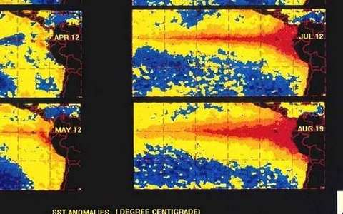 osgb in the grid-references lab — a TERMS crop, not the glossary plate and not the lab cover. A TERMS crop, not the glossary plate and not the lab cover. Source: Wikimedia Commons / NASA / USGS / NOAA, public domain or CC.Wikimedia Commons / NASA / USGS / NOAA, public domain or CC
False origin
The south-west point from which eastings and northings are counted, off the Isles so all numbers stay positive.
 false origin in the grid-references lab — a TERMS crop, not the glossary plate and not the lab cover. A TERMS crop, not the glossary plate and not the lab cover. Source: Wikimedia Commons / NASA / USGS / NOAA, public domain or CC.Wikimedia Commons / NASA / USGS / NOAA, public domain or CC
Grid square
The cell the reference names. Four-figure: 1 km. Six-figure: 100 m. Eight-figure: 10 m.
 grid square in the grid-references lab — a TERMS crop, not the glossary plate and not the lab cover. A TERMS crop, not the glossary plate and not the lab cover. Source: Wikimedia Commons / NASA / USGS / NOAA, public domain or CC.Wikimedia Commons / NASA / USGS / NOAA, public domain or CC
WGS84
The GPS ellipsoid and datum. A phone pin is not an OS six-figure until it is converted.
 wgs84 in the grid-references lab — a TERMS crop, not the glossary plate and not the lab cover. A TERMS crop, not the glossary plate and not the lab cover. Source: Wikimedia Commons / NASA / USGS / NOAA, public domain or CC.Wikimedia Commons / NASA / USGS / NOAA, public domain or CC