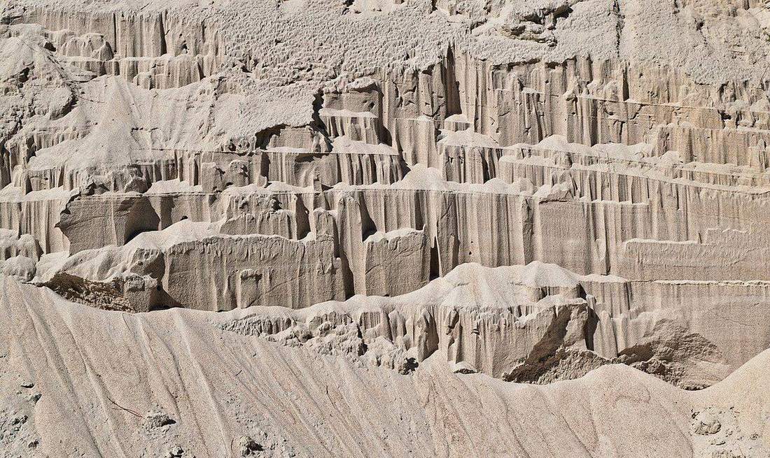
 Vertical then lateral.Wikimedia Commons, CC BY
Why this matters
A Lake District waterfall sits on a resistant band and walks slowly upstream. The gorge behind it is the scar. The Colorado River cut a plateau; the Grand Canyon is incision, not a rift and not a glacial U. UK GCSE rivers and NGSS MS-ESS2-2 both need that distinction. A beck in spate is vertical erosion: V-valley, plunge pool, potholes where pebbles swirl. Hydraulic action, abrasion, and attrition are the toolkit; corrosion helps on limestone. Niagara is the famous slow walk, not a waterfall that stays put. Fieldwork in Borrowdale and a rim talk at Grand Canyon fail if every valley is called a canyon and every fall is treated as furniture. Nick-point retreat is the plot. Water makes a V until ice has been there first.
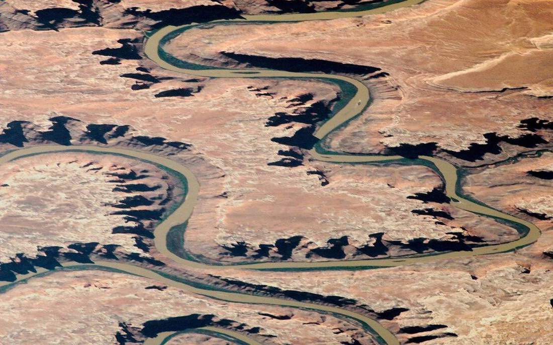 Field photograph or official scientific figure for teaching river erosion. A second photograph for the projector script — not the lab cover. Source: Wikimedia Commons / NASA / USGS / NOAA, public domain or CC.Wikimedia Commons / NASA / USGS / NOAA, public domain or CC
The mechanism
Upper course: steep gradient, high potential energy, vertical erosion dominating. A nick point is a break of slope — often a waterfall on a resistant band — with a plunge pool at its foot. Play the lab and the lip walks upstream; the gorge is the slot the fall leaves as it retreats. Potholes form where pebbles are trapped and swirl, abrading the bed. V-valleys are the fluvial cross-profile; ice makes a U, water a V, until ice has been there first and the beck cuts a V into a trough floor, as in the Lake District. Hydraulic action, abrasion, and attrition do the cutting. The Grand Canyon is the same machine at plateau scale: the river exports, weathering and mass movement deliver from the walls, the hole is younger than the rocks. Vertical exaggeration is labelled ×12 on the long profile so the lip and the V read from the back row. True gradient on a table would be almost flat. The valley is a schematic long profile, not a traced catchment. Waterfalls do not stay put. Niagara is the slow famous walk; a Lake District fall on Borrowdale volcanic rock is the same retreat at a smaller station.
How to drive the model
Freeze on the waterfall. Name V-valley, fall, and plunge pool before you press play. Play nick-point retreat; the fall walks upstream. Ask what the gorge is — it is the scar the lip leaves. Keyboard: space play, arrows scrub, L labels, R reset. There is no discharge slider here; that lives on the rivers long-profile lab. Vertical exaggeration is ×12 and labelled. Finish in Check. The wrong answer is that waterfalls stay put, or that every valley is a canyon.
If the model will not spin
Without the 3D view: a nick point retreats; a gorge is the scar; potholes are pebbles swirling on the bed; V-valleys are upland fluvial; ice makes U. Lake District falls sit on resistant bands. The Colorado cut a plateau. Vertical exaggeration is ×12 and labelled. Water is not a pipe. Waterfalls walk. Niagara is the slow famous walk. Do not call every valley a canyon. Hydraulic action, abrasion, and attrition are the toolkit; vertical erosion dominates here. The age of the rock is not the age of the hole.
Film
How Water Shapes the Land: Crash Course Geology #9. Crash Course Geology. About 10 min. Crash Course Geology / Complexly on YouTube. Standard YouTube licence. Educational embed, autoplay off. Autoplay off.
Misconceptions
Waterfalls stay put.
They retreat. Niagara is the famous slow walk. A Lake District fall on a resistant band does the same.
Every valley is a canyon.
A canyon is a deep, steep-sided incision. V-valleys are upland fluvial. Ice makes U.
The age of the canyon is the age of the rocks in the walls.
Rocks can be hundreds of millions of years old. The hole is much younger. Incision is not the birthday of the beds.
Nick point
A break of slope, often a waterfall, that can retreat upstream.
 nick point in the river-erosion lab — a TERMS crop, not the glossary plate and not the lab cover. A TERMS crop, not the glossary plate and not the lab cover. Source: Wikimedia Commons / NASA / USGS / NOAA, public domain or CC.Wikimedia Commons / NASA / USGS / NOAA, public domain or CC
Gorge
Steep-sided valley, often the scar a retreating fall leaves.
 Gorge in the river-erosion lab — a TERMS crop, not the glossary plate and not the lab cover. Steep-sided valley, often the scar a retreating fall leaves. Source: Wikimedia Commons / NASA / USGS / public domain.Wikimedia Commons / NASA / USGS / public domain
Plunge pool
Deep hollow at the foot of a fall, scoured by falling water and load.
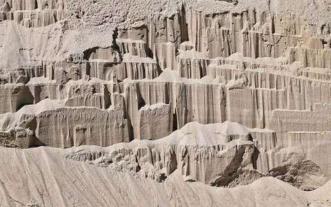 plunge pool in the river-erosion lab — a TERMS crop, not the glossary plate and not the lab cover. A TERMS crop, not the glossary plate and not the lab cover. Source: Wikimedia Commons / NASA / USGS / NOAA, public domain or CC.Wikimedia Commons / NASA / USGS / NOAA, public domain or CC
Pothole
Bed hollow where pebbles swirl and abrade.
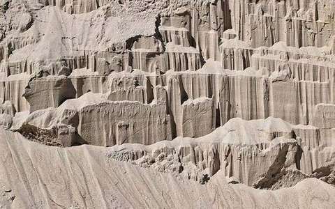 pothole in the river-erosion lab — a TERMS crop, not the glossary plate and not the lab cover. A TERMS crop, not the glossary plate and not the lab cover. Source: Wikimedia Commons / NASA / USGS / NOAA, public domain or CC.Wikimedia Commons / NASA / USGS / NOAA, public domain or CC
V-valley
Cross-profile of upland fluvial vertical erosion. Ice makes U.
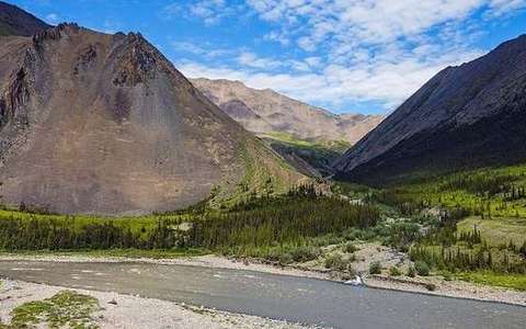 V-valley in the river-erosion lab — a TERMS crop, not the glossary plate and not the lab cover. Cross-profile of upland fluvial vertical erosion. Source: Wikimedia Commons / NASA / USGS / public domain.Wikimedia Commons / NASA / USGS / public domain
Hydraulic action
Force of water and trapped air on joints and the bed.
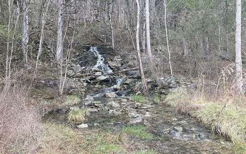 hydraulic action in the river-erosion lab — a TERMS crop, not the glossary plate and not the lab cover. A TERMS crop, not the glossary plate and not the lab cover. Source: Wikimedia Commons / NASA / USGS / NOAA, public domain or CC.Wikimedia Commons / NASA / USGS / NOAA, public domain or CC
Abrasion
Load scratching and grinding the bed and banks.
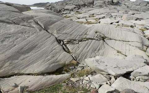 Abrasion in the river-erosion lab — a TERMS crop, not the glossary plate and not the lab cover. Load scratching and grinding the bed and banks. Source: Wikimedia Commons / NASA / USGS / public domain.Wikimedia Commons / NASA / USGS / public domain
Attrition
Load particles colliding and rounding each other.
 Attrition in the river-erosion lab — a TERMS crop, not the glossary plate and not the lab cover. Load particles colliding and rounding each other. Source: Wikimedia Commons / NASA / USGS / public domain.Wikimedia Commons / NASA / USGS / public domain