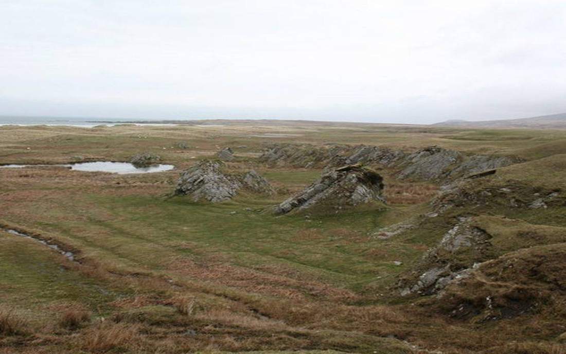
 A raised shoreline after ice left. Buoyancy of the crust (and lithosphere) in a denser mantle. Source: Wikimedia Commons / NASA / USGS / NOAA, public domain or CC.Wikimedia Commons / NASA / USGS / NOAA, public domain or CC
Why this matters
Western Scotland has raised beaches. The ice went; the land is still coming up. Hudson Bay’s shore is doing the same work. A-level and NGSS treat isostasy as why mountains have roots and why ice can bend a continent. If a class thinks crust sits on a rigid floor, rebound is a miracle and gravity anomalies are a rumour. Holderness till is a load too small to see. An ice sheet is not.
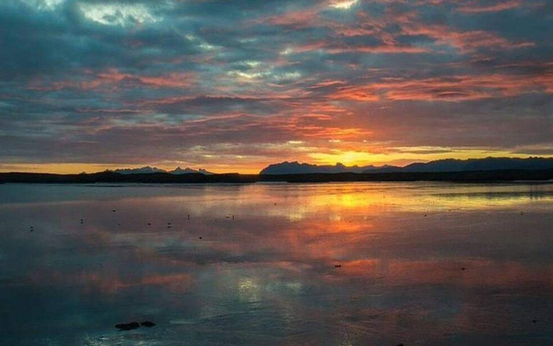 Field photograph or official scientific figure for teaching isostasy. A second photograph for the projector script — not the lab cover. Source: Wikimedia Commons / NASA / USGS / NOAA, public domain or CC.Wikimedia Commons / NASA / USGS / NOAA, public domain or CC
The mechanism
Input is a load: ice, or sediment, or a mountain root. Lithosphere is rigid enough to act as a raft; the mantle beneath is solid but it creeps. Add ice, the raft sinks, mantle flows out. Remove ice, the raft rises, mantle flows back. That is glacial isostatic adjustment. What moves: the block’s height, the mantle under it. What does not: the fact of buoyancy. What is conserved: mass — ice mass leaves, rock mass stays. The lie: a wood-block-in-honey tank, sped up from millennia to a slider. Real rebound is still going, millimetres a year. The mantle is not lava. It is the same solid rock as the interior lab, creeping. Sea level in this scene is a local line so you can see emergence. Global sea level is a different budget.
How to drive the model
Start with no ice. Note the waterline. Add ice. The block sinks. Remove ice. Watch rebound. Keyboard: Space, arrows on the load, L, R, P. Ask whether the mantle is liquid before you say creep. Caption stays: mantle is solid rock that flows slowly.
If the model will not spin
Without the canvas: crust floats on a denser mantle. Ice is a load. Load down, unload up. Scotland’s raised beaches and Hudson Bay’s rising shore are rebound still in progress. The mantle creeps; it is not a magma ocean. Mountains have roots for the same reason. That is enough for Check.
Film
The Deepest Point in the World: Crash Course Geology #12. Crash Course Geology. About 11 min. Crash Course Geology / Complexly on YouTube. Standard YouTube licence. Educational embed, autoplay off. Autoplay off.
Misconceptions
The ground under our feet is a rigid floor that never moves up or down.
It floats. Ice can sink it. Melt can raise it, slowly.
Rebound means the mantle is lava.
The mantle is solid rock that creeps. Same story as the interior lab.
Raised beaches mean the sea fell everywhere.
Local land rose. Global sea level is a different number.
Isostasy
Buoyancy of the crust (and lithosphere) in a denser mantle. Load down, unload up.
 Isostasy in the isostasy lab — a TERMS crop, not the glossary plate and not the lab cover. Buoyancy of the crust (and lithosphere) in a denser mantle. Source: Wikimedia Commons / NASA / USGS / public domain.Wikimedia Commons / NASA / USGS / public domain
Glacial rebound
Land rising after ice has gone. Scotland, Hudson Bay, Fennoscandia.
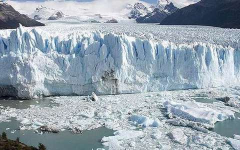 glacial rebound in the isostasy lab — a TERMS crop, not the glossary plate and not the lab cover. A TERMS crop, not the glossary plate and not the lab cover. Source: Wikimedia Commons / NASA / USGS / NOAA, public domain or CC.Wikimedia Commons / NASA / USGS / NOAA, public domain or CC
Raised beach
An old shoreline now above the sea. A rebound fossil.
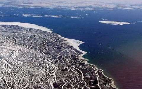 raised beach in the isostasy lab — a TERMS crop, not the glossary plate and not the lab cover. A TERMS crop, not the glossary plate and not the lab cover. Source: Wikimedia Commons / NASA / USGS / NOAA, public domain or CC.Wikimedia Commons / NASA / USGS / NOAA, public domain or CC
Lithosphere
The rigid raft: crust plus the stiff top of the mantle.
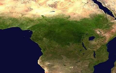 lithosphere in the isostasy lab — a TERMS crop, not the glossary plate and not the lab cover. A TERMS crop, not the glossary plate and not the lab cover. Source: Wikimedia Commons / NASA / USGS / NOAA, public domain or CC.Wikimedia Commons / NASA / USGS / NOAA, public domain or CC
Asthenosphere
Weaker mantle below that can creep. Solid, not a magma ocean.
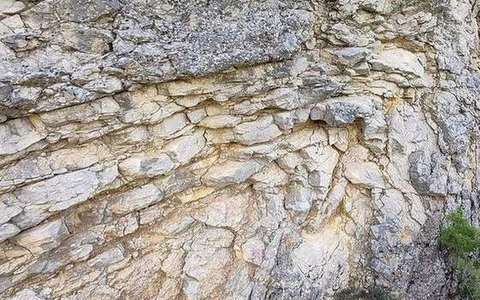 asthenosphere in the isostasy lab — a TERMS crop, not the glossary plate and not the lab cover. A TERMS crop, not the glossary plate and not the lab cover. Source: Wikimedia Commons / NASA / USGS / NOAA, public domain or CC.Wikimedia Commons / NASA / USGS / NOAA, public domain or CC
Root
Thick crust under a mountain, the submerged part of the raft.
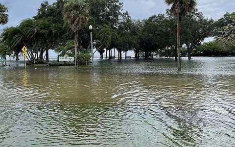 root in the isostasy lab — a TERMS crop, not the glossary plate and not the lab cover. A TERMS crop, not the glossary plate and not the lab cover. Source: Wikimedia Commons / NASA / USGS / NOAA, public domain or CC.Wikimedia Commons / NASA / USGS / NOAA, public domain or CC
Eustatic
Global sea-level change. Not the same as local rebound.
 eustatic in the isostasy lab — a TERMS crop, not the glossary plate and not the lab cover. A TERMS crop, not the glossary plate and not the lab cover. Source: Wikimedia Commons / NASA / USGS / NOAA, public domain or CC.Wikimedia Commons / NASA / USGS / NOAA, public domain or CC