Case study · Shared
Iceland and Eyjafjallajökull
Mid-Atlantic Ridge
A divergent boundary above water, plus a hotspot. The 2010 ash plume closed northwest European airspace.
Locator · OpenStreetMap / OpenFreeMap · 63.63°, -19.62°
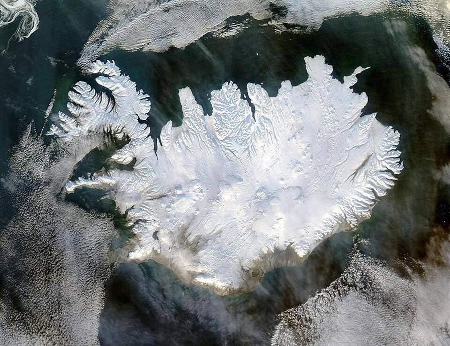
Iceland sits on the Mid-Atlantic Ridge, a divergent boundary, and on a mantle plume. New oceanic crust is made here. Thingvellir is a rift you can walk. The island is the ridge plus extra magma from the hotspot — which is why it stands above water when most of the ridge does not.
Eyjafjallajökull in 2010 was a subglacial, explosive eruption of relatively evolved magma. Ice plus silica-rich melt made fine ash. High-level winds carried it over Europe. Aviation avoids ash because it damages turbine blades. UK specifications treat the eruption as a tectonic and atmospheric case. The ridge itself is the plate story; the ash is the hazard story.
Compare the Himalaya: continent–continent convergence, crust stacked, not made. Compare Hawaii: a hotspot without a plate boundary. Compare Cascadia: subduction, not divergence. Three colours of boundary, plus a plume, cover the exam list.
Seafloor spreading on either side of Iceland lays down magnetic stripes. The seafloor-spreading lab is that tape recorder. Iceland is where the tape is a country.
Exam-style question
Explain why Iceland has both basaltic fissure eruptions and occasional explosive, ash-rich events such as 2010.
Teacher hint: Ridge + hotspot: usually basalt. Ice, evolved magma, and a central volcano can still go explosive.
Process labs
Sources
- IMO / Icelandic Met Office
- BGS — Eyjafjallajökull 2010
- NASA Earth Observatory