Case study · East Asia
Shanghai, Meiyu and the Huangpu
Huangpu · Yangtze delta
A drowned river on a delta. Meiyu, tide, and a flood wall. The Mississippi is a continental drain; the Huangpu is a tidal megacity creek.
Locator · OpenStreetMap / OpenFreeMap · 31.23°, 121.49°
Shanghai sits on the Yangtze delta. The Huangpu is a tidal river: the sea comes in, the basin is low, and a plum-rain (Meiyu) hydrograph can sit on a high tide. That is not orographic cloud on a mountain, and it is not a meander textbook on the Mississippi floodplain — though both are floodplain bargains.
Compare Somerset Levels: a floodplain that sits wet for weeks. Shanghai’s bargain is a wall and a tide gate as well as a channel. The hydrograph lab is the rain-to-peak delay. Storm surge is the sea’s extra.
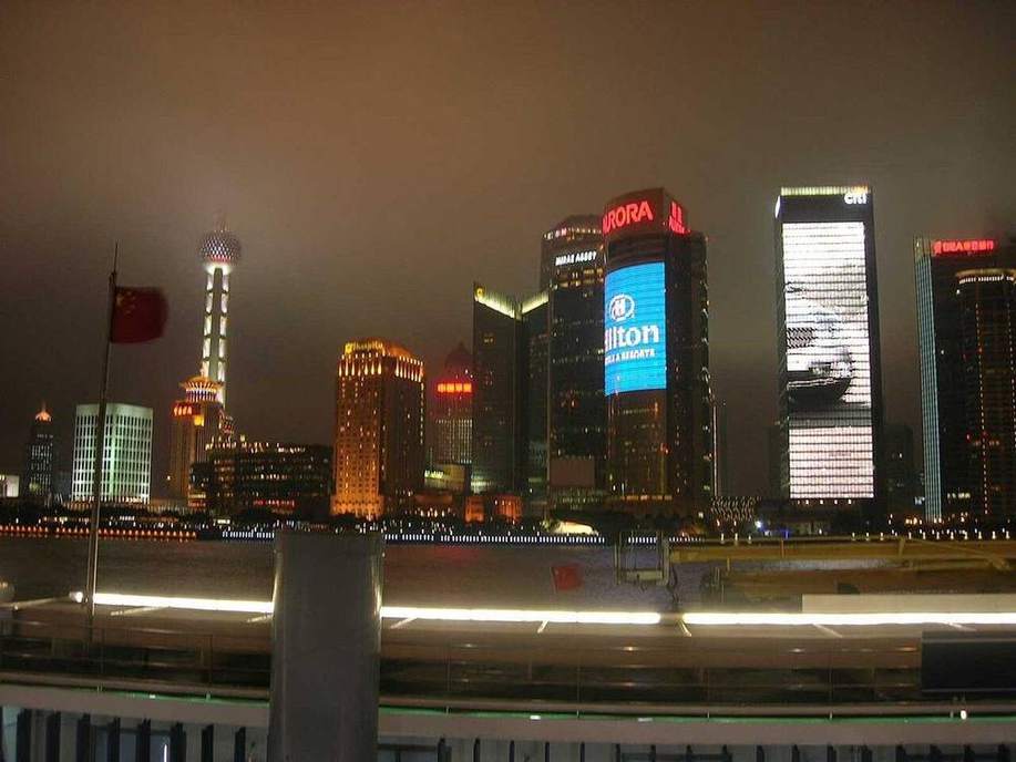
Pudong’s skyline is not the physical map. The physical map is silt, a drowned valley, and a monsoon that is not a UK winter front.
Classroom move: open the hydrograph, then the live-weather pin on Shanghai. Ask whether today’s rain is Meiyu, a typhoon remnant, or a winter front before you read the chart.
Exam-style question
Explain why a high tide plus Meiyu rain is a different flood story from a Mississippi overbank flood.
Teacher hint: Tidal drowned river vs continental floodplain. Sea level is part of Shanghai’s peak; the Mississippi’s peak is catchment rain and snowmelt.
Process labs
Sources
- Shanghai Water Authority — Huangpu tide
- CMA — Meiyu