 Noon height is 90° minus |φ − δ|.Wikimedia Commons, CC BY
Why this matters
London in December is a low noon and a short day. Miami still has a useful beam. Same dome idea. Different latitude. Leeds glasshouses plot hours above a height that plants can use. Florida growers plot the same curve with a different φ. Snowdonia fieldwork in June is a long arc; the same slope in December is a brief, low Sun. New York sits between London and Miami on that ladder. The skill is to read noon altitude and day length from a path, not from a weather app. Pairs with the calculator tool. A magnetic compass is not true south. Overhead Sun is not a global noon habit. If you cannot move latitude in your head from 51.5° to 0°, you cannot compare a UK playground with Nairobi, and you will keep saying the Sun is overhead everywhere at lunch.
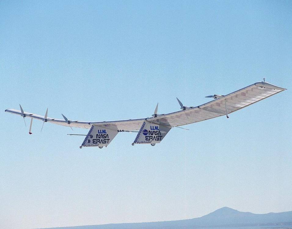 A second photograph for the projector script — not the lab cover.Wikimedia Commons / NASA / USGS
The mechanism
Input is latitude, plus the time slider that walks the Sun along the dome. Default latitude is 51.5°, London. The path is the day’s arc on a sky hemisphere over a marked horizon. Noon altitude is 90° minus the absolute difference of latitude and declination: 90° − |φ − δ|. Day length falls out of whether the path clears the horizon, and for how long. What moves: the Sun along the arc, the length of that arc when you change φ, the gnomon’s shadow. What does not: the formula, the fact of a horizon, the fact that overhead Sun only happens between the tropics, and not every day. What is conserved: spherical geometry. Raise latitude in winter: noon Sun drops, day shortens. Toward the equator: noon stays high, day length sits near 12 h. Polar extremes are a longer day or a night that will not end, depending on season, but this slider caps short of the pole. The lie the model tells: a small dome, a fat Sun, a toy gnomon, a teaching plinth instead of a real playground. The path is the lesson. The numbers on the readout are the lesson. Seasons still come from tilt; this lab aims the beam for one place.
How to drive the model
Leave Latitude near 51.5°. That is London. Play. Space toggles play. Arrows nudge the Sun along the path. Speed 1×, 2×, 4×. Drag Latitude toward 0° for Nairobi, or toward Miami’s band, or south. Read noon altitude and day length from the readout. L labels. R reset. P projector. No explode, no slice in the bar. Reset if the dome has walked off a useful latitude. True south is not a magnetic compass. The Latitude slider is the extra. The time slider walks the Sun on the dome. Read the gnomon shadow as well as the numbers.
If the model will not spin
If the dome will not spin, keep the formula and the places. Noon altitude = 90° − |φ − δ|. London winter: low noon, short day. Equator: day length near 12 h, noon Sun high. Overhead at noon only between the tropics, and not every day. Raising latitude in winter lowers the Sun and shortens the day. Miami is not London. Snowdonia in June is not Snowdonia in December. That is enough for Check on paper, and enough to kill ‘the Sun is overhead everywhere at noon’.
Film
Why we have seasons. Khan Academy. About 8 min. Khan Academy on YouTube. CC BY-NC-SA. Educational embed, autoplay off. Autoplay off.
Misconceptions
The Sun is overhead at noon everywhere.
Only between the tropics, and not every day.
Day length is 12 hours everywhere, every day.
Near 12 h at the equator. London swings from a short December to a long June.
Raising latitude always makes the Sun higher.
In winter it lowers noon Sun and shortens the day. Geometry, not a hill.
Solar altitude
Angle of the Sun above the horizon. Noon altitude is the day’s peak.
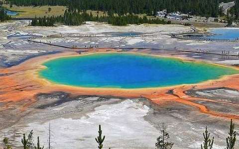 solar altitude in the solar-altitude lab — a TERMS crop, not the glossary plate and not the lab cover. A TERMS crop, not the glossary plate and not the lab cover. Source: Wikimedia Commons / NASA / USGS / NOAA, public domain or CC.Wikimedia Commons / NASA / USGS / NOAA, public domain or CC
Sun path
The day’s arc on the sky dome. Date and latitude write it.
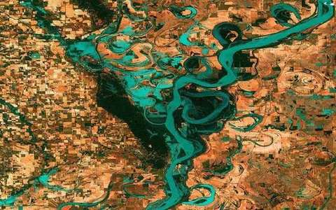 sun path in the solar-altitude lab — a TERMS crop, not the glossary plate and not the lab cover. A TERMS crop, not the glossary plate and not the lab cover. Source: Wikimedia Commons / NASA / USGS / NOAA, public domain or CC.Wikimedia Commons / NASA / USGS / NOAA, public domain or CC
Declination
The latitude where the Sun is overhead at noon. It travels between 23.44°N and 23.44°S.
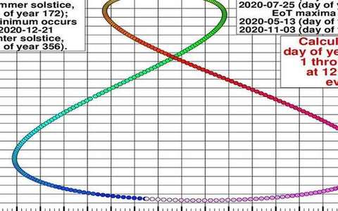 declination in the solar-altitude lab — a TERMS crop, not the glossary plate and not the lab cover. A TERMS crop, not the glossary plate and not the lab cover. Source: Wikimedia Commons / NASA / USGS / NOAA, public domain or CC.Wikimedia Commons / NASA / USGS / NOAA, public domain or CC
Noon altitude
90° − |φ − δ|. School formula. φ is latitude, δ is declination.
 noon altitude in the solar-altitude lab — a TERMS crop, not the glossary plate and not the lab cover. A TERMS crop, not the glossary plate and not the lab cover. Source: Wikimedia Commons / NASA / USGS / NOAA, public domain or CC.Wikimedia Commons / NASA / USGS / NOAA, public domain or CC
Day length
Hours the Sun is above the horizon. Near 12 h at the equator. A wide swing at London.
 day length in the solar-altitude lab — a TERMS crop, not the glossary plate and not the lab cover. A TERMS crop, not the glossary plate and not the lab cover. Source: Wikimedia Commons / NASA / USGS / NOAA, public domain or CC.Wikimedia Commons / NASA / USGS / NOAA, public domain or CC
Gnomon
A stick that casts a shadow. Shadow length is a readout of solar altitude.
 gnomon in the solar-altitude lab — a TERMS crop, not the glossary plate and not the lab cover. A TERMS crop, not the glossary plate and not the lab cover. Source: Wikimedia Commons / NASA / USGS / NOAA, public domain or CC.Wikimedia Commons / NASA / USGS / NOAA, public domain or CC
Tropics
23.44°N to 23.44°S. Overhead Sun lives only in this belt, and not every day.
 tropics in the solar-altitude lab — a TERMS crop, not the glossary plate and not the lab cover. A TERMS crop, not the glossary plate and not the lab cover. Source: Wikimedia Commons / NASA / USGS / NOAA, public domain or CC.Wikimedia Commons / NASA / USGS / NOAA, public domain or CC
Latitude
Angle from the equator. This lab’s slider. Default 51.5° is London.
 latitude in the solar-altitude lab — a TERMS crop, not the glossary plate and not the lab cover. A TERMS crop, not the glossary plate and not the lab cover. Source: Wikimedia Commons / NASA / USGS / NOAA, public domain or CC.Wikimedia Commons / NASA / USGS / NOAA, public domain or CC