Path · UK GCSE Geography
GCSE Physical Landscapes
AQA 8035 · Edexcel · OCR
Read a hill, then follow water off it, then the sea, then ice. Contours first. Rivers. Coasts. Glaciers.
01
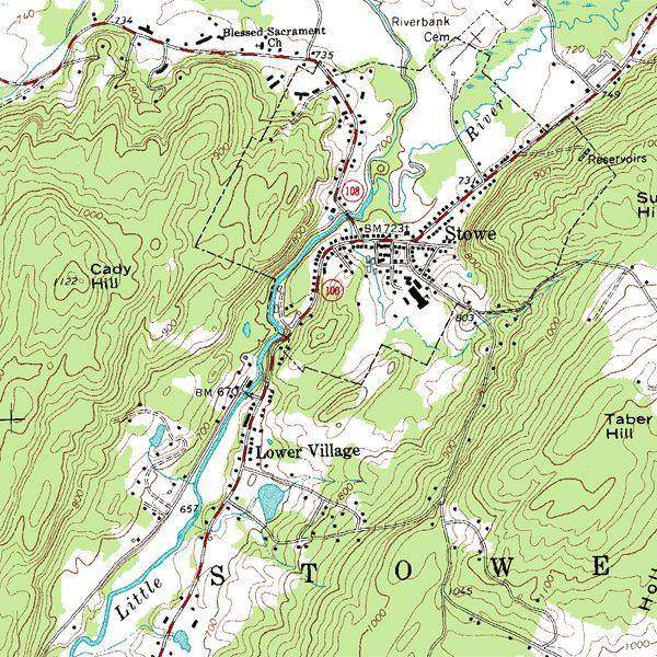 Skills
Contours ↔ 3D terrain
A GCSE map question is a hill wearing a disguise. The spur and the valley are the same lines, bending opposite ways.
KS3GCSENGSS MS02
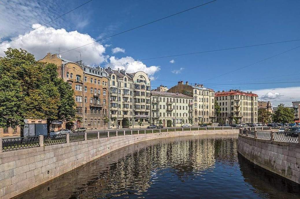 Landforms
River long profile
A Lake District beck in spate and the Mississippi in flood are the same machine at different stations: steep and narrow, then lazy and wide.
KS3GCSEA-level03
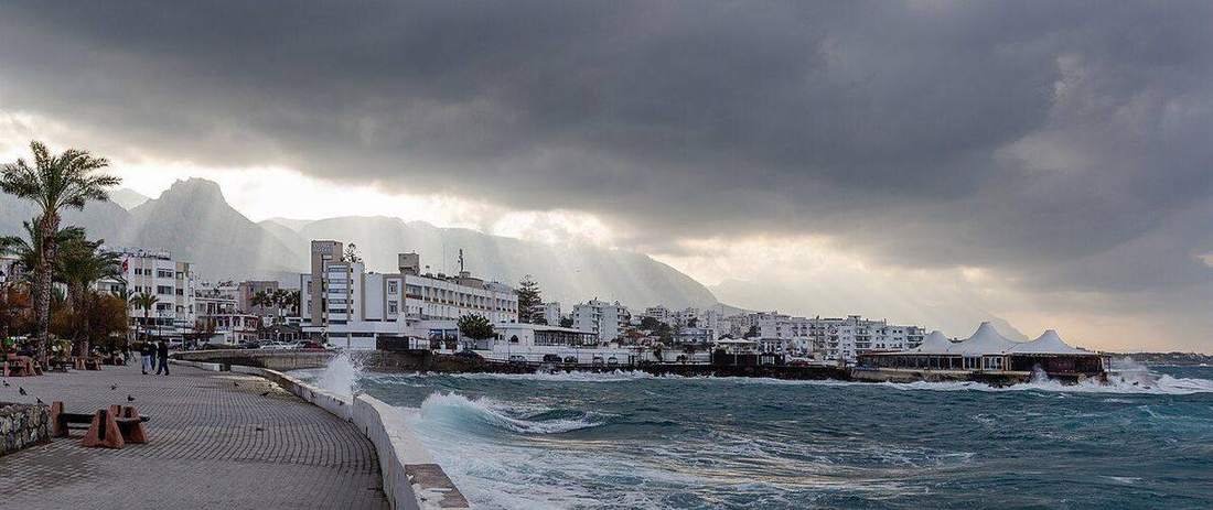 Landforms
Coasts
Constructive waves build. Destructive waves take. Longshore drift is the conveyor. Cave–arch–stack–stump is the headland’s life.
KS3GCSENGSS MS04
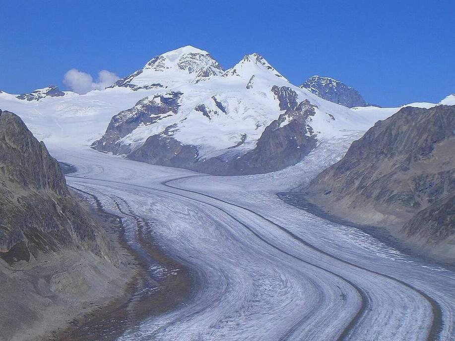 Landforms
Glacial landforms
Ice is a river that can be a kilometre thick. It leaves a cirque, an arête, a horn, a U, and a pile of till.
KS3GCSENGSS MS05
 Landforms
Mass movement
Holderness till does not wait for a wave. After rain the cliff rotates on a curved shear and the toe shoves the beach.
GCSEA-levelNGSS MS06
 Landforms
Periglacial landforms
The Cairngorms still carry freeze–thaw scars. Alaska still has ice wedges growing. Cold without a glacier is its own factory.
GCSEA-levelHS Earth Sci