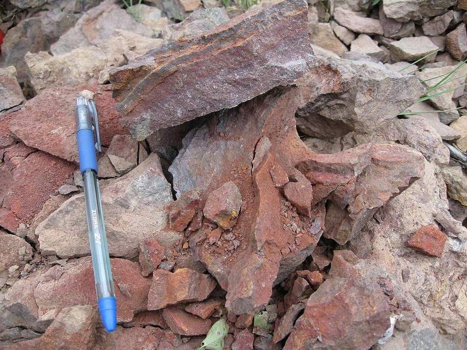
 The same parent, a different slope.Wikimedia Commons, CC BY
Why this matters
A single Yorkshire hillside can show a thin crest ranker, a washed backslope, and a thick wet toe. Iowa’s loess hills do the same: crest dry, toe gleyed. GCSE and APES soils are often taught as a texture triangle plus a profile poster. The catena is why those profiles differ in a field you can walk. If a class thinks soil type is only climate, they will not read a slope.
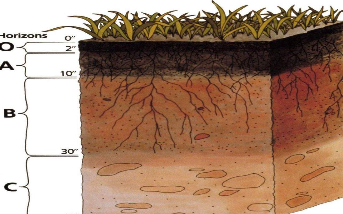 Field photograph or official scientific figure for teaching soil catena. A second photograph for the projector script — not the lab cover. Source: Wikimedia Commons / NASA / USGS / NOAA, public domain or CC.Wikimedia Commons / NASA / USGS / NOAA, public domain or CC
The mechanism
Input is a slope and water. Crest: more free drainage, more erosion, thinner A and B. Backslope: transit, often the most eroded. Footslope and toe: water and sediment arrive, horizons thicken, mottles if wet. What moves: water and particles downslope. What does not: the parent material in this teaching strip. What is conserved: mass — what leaves the crest arrives below, unless a river takes it. The lie: four pits, one parent, no farmer, no time except a slider for steepness. Real Yorkshire has till over limestone in places, and land use. Real Iowa has loess thickness changing on its own. This lab isolates the hill as the factory. Texture triangle is a different lab. Profile names are a different lab. Here the sequence is the point.
How to drive the model
Name the four stations before any soil name. Crest, shoulder, backslope, toe. Steepen the slope. Watch the crest thin and the toe thicken. Keyboard: L, R, P, slope slider. Ask which pit is wettest before you reveal mottles.
If the model will not spin
Without the canvas: a catena is soils down one slope. Crest exports; toe imports. Thinner and drier up top; thicker and wetter at the foot. Yorkshire valley side; Iowa loess hill. Climate sets the palette; the hill rearranges it. That is enough for Check.
Film
What is Soil (and Why is it Important)? Crash Course Geography #16. Crash Course Geography. About 10 min. Crash Course / Complexly on YouTube. Standard YouTube licence. Educational embed, autoplay off. Autoplay off.
Misconceptions
Soil type is only climate.
On one hillside the climate is the same. Water and sediment still rewrite the profile.
The thickest soil is at the crest because it is oldest.
The toe often thickens because it receives what the crest lost.
A profile poster is the whole soil course.
A catena is why neighbouring pits disagree.
Catena
A sequence of soils down a slope, linked by water and sediment.
 catena in the soil-catena lab — a TERMS crop, not the glossary plate and not the lab cover. A TERMS crop, not the glossary plate and not the lab cover. Source: Wikimedia Commons / NASA / USGS / NOAA, public domain or CC.Wikimedia Commons / NASA / USGS / NOAA, public domain or CC
Crest
The top. Often thinner, freer drained.
 crest in the soil-catena lab — a TERMS crop, not the glossary plate and not the lab cover. A TERMS crop, not the glossary plate and not the lab cover. Source: Wikimedia Commons / NASA / USGS / NOAA, public domain or CC.Wikimedia Commons / NASA / USGS / NOAA, public domain or CC
Backslope
The steep transit zone. Erosion often wins.
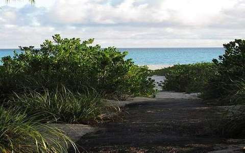 backslope in the soil-catena lab — a TERMS crop, not the glossary plate and not the lab cover. A TERMS crop, not the glossary plate and not the lab cover. Source: Wikimedia Commons / NASA / USGS / NOAA, public domain or CC.Wikimedia Commons / NASA / USGS / NOAA, public domain or CC
Toe
The base. Water and sediment arrive. Horizons thicken.
 toe in the soil-catena lab — a TERMS crop, not the glossary plate and not the lab cover. A TERMS crop, not the glossary plate and not the lab cover. Source: Wikimedia Commons / NASA / USGS / NOAA, public domain or CC.Wikimedia Commons / NASA / USGS / NOAA, public domain or CC
Gley
Grey, mottled soil from waterlogging. Common at toes.
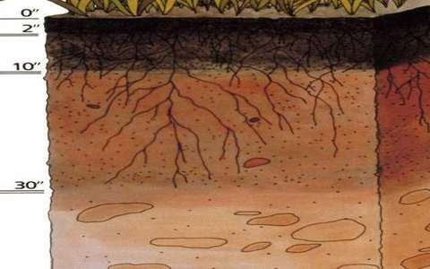 gley in the soil-catena lab — a TERMS crop, not the glossary plate and not the lab cover. A TERMS crop, not the glossary plate and not the lab cover. Source: Wikimedia Commons / NASA / USGS / NOAA, public domain or CC.Wikimedia Commons / NASA / USGS / NOAA, public domain or CC
Ranker
A thin soil over rock, often on a crest or steep slope. School UK term.
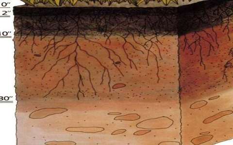 ranker in the soil-catena lab — a TERMS crop, not the glossary plate and not the lab cover. A TERMS crop, not the glossary plate and not the lab cover. Source: Wikimedia Commons / NASA / USGS / NOAA, public domain or CC.Wikimedia Commons / NASA / USGS / NOAA, public domain or CC
Colluvium
Sediment moved downslope by gravity and wash, dumped toward the toe.
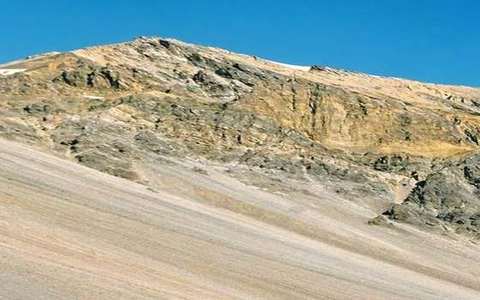 colluvium in the soil-catena lab — a TERMS crop, not the glossary plate and not the lab cover. A TERMS crop, not the glossary plate and not the lab cover. Source: Wikimedia Commons / NASA / USGS / NOAA, public domain or CC.Wikimedia Commons / NASA / USGS / NOAA, public domain or CC