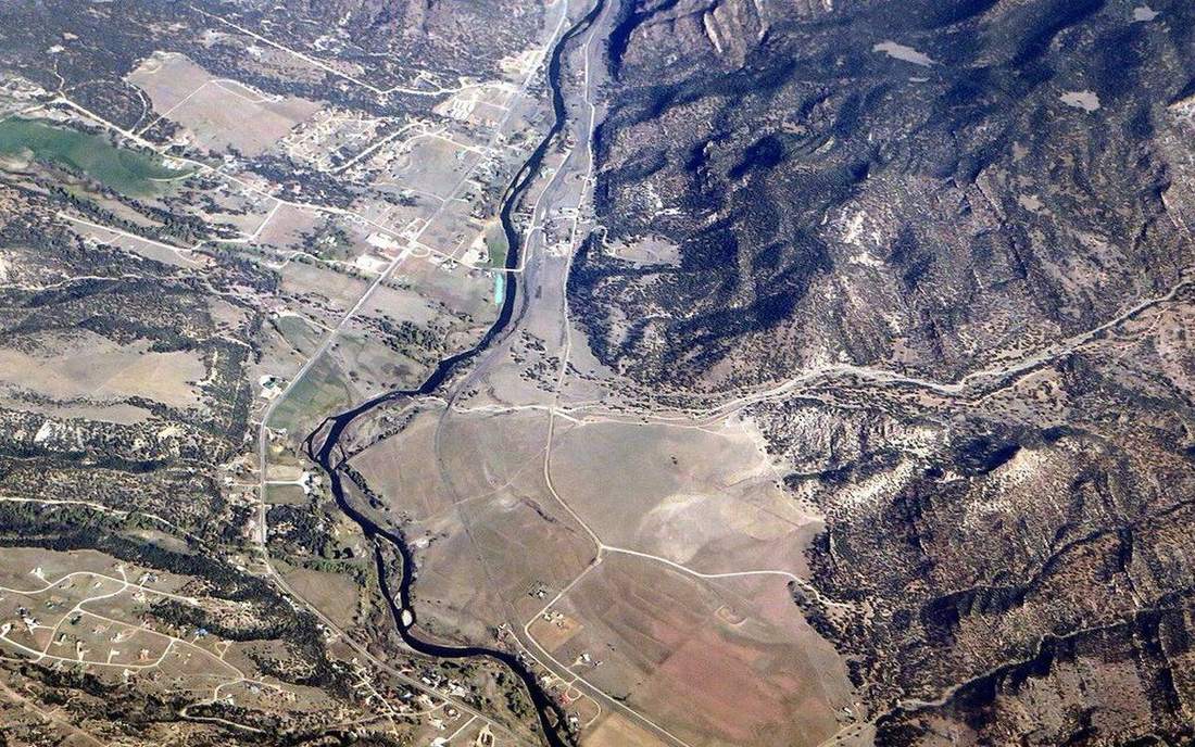
 A braided channel at high stage. This is the classroom sense of river-hydrology: a named landform, process, or object. Source: Wikimedia Commons / NASA / USGS / NOAA, public domain or CC.Wikimedia Commons / NASA / USGS / NOAA, public domain or CC
Why this matters
A Lake District beck and the Mississippi are the same year on different graphs. UK upland catchments often mix winter rain with a spring snowmelt bump; the west coast is frequently pluvial. The Mississippi is a continental drain with snowmelt, rain and a dam-managed year — do not invent cubic metres. Colorado’s snowpack is a nival store that becomes spring discharge; dams then flatten what the mountain wrote. Regime is why a reservoir rule-curve and a UK abstraction licence care about the month, not the Thursday storm. Hydrograph is hours. This lab is the year. All rivers do not peak in summer. Alps, Rockies and a Cumbrian winter disagree with a tropical wet season, and that is the point of two traces on one axis.
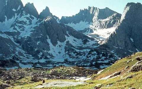
 A second photograph for the projector script — not the lab cover.Wikimedia Commons / NASA / USGS
The mechanism
Regime is the typical annual variation of discharge — the year’s personality, not one storm. A nival regime is snowmelt-dominated: a spring peak as the pack goes. A pluvial regime follows rainfall seasonality: UK western winters often sit here. Many UK upland rivers are a mix: rain in the wings, a snowmelt bump in spring. The Mississippi trace in this lab is a broader continental year, rain-fed with a snowmelt contribution and flattened in the real world by dams. Play the year and watch two ribbons: UK highland nival-green, Mississippi pluvial-blue. A marker walks the month. A snow sphere lights on the UK trace in spring. All rivers do not peak in summer. It depends on rain, snow, ice and management. A glacier-fed river can peak later still. Colorado’s pack is the same nival idea at drier numbers; dams then rewrite the month. Do not paste a storm hydrograph onto a monthly axis. Hours and months are different machines. One graph is not all climates. The traces are school shapes, not NRFA or USGS station numbers — do not invent a peak flow and write it in an exam.
How to drive the model
Play the year. Two traces: nival UK highland and Mississippi pluvial. Pause on the UK spring bump and name it snowmelt. Scrub the Year slider month by month and ask which trace would change if you turned snow off in the story. Hide labels (L) and make the class assign nival versus pluvial. Watch the marker walk J to D; a snow sphere lights on the UK ribbon in spring. Keyboard: space play, arrows scrub the year, L labels, R reset. Speed 1× / 2× / 4× is in the bar. Finish in Check.
If the model will not spin
Without the 3D view: two annual traces. UK upland: rain plus a snowmelt bump. Mississippi: a broader continental year, managed by dams in the real river. Nival is snowmelt. Pluvial follows rain. Regime is the year; a storm hydrograph is hours. All rivers do not peak in summer. Colorado’s snowpack is a nival store that dams can flatten. The ribbons are school shapes, not station numbers. Do not invent cubic metres. One graph is not all climates. Say so plainly.
Film
How Rivers Shape the Landscape: Crash Course Geography #22. Crash Course Geography. About 11 min. Crash Course / Complexly on YouTube. Standard YouTube licence. Educational embed, autoplay off. Autoplay off.
Misconceptions
All rivers peak in summer.
Depends on rain, snow, dams, ice.
A storm hydrograph and a regime graph are the same plot.
Hours versus the year. Do not paste a rising limb onto a monthly axis.
One graph will do for all climates.
UK upland mix, Mississippi continental year, Colorado snowpack: different machines, same idea.
Regime
Typical annual variation of discharge. The year’s personality, not one storm.
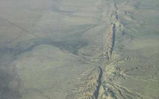 regime in the river-hydrology lab — a TERMS crop, not the glossary plate and not the lab cover. A TERMS crop, not the glossary plate and not the lab cover. Source: Wikimedia Commons / NASA / USGS / NOAA, public domain or CC.Wikimedia Commons / NASA / USGS / NOAA, public domain or CC
Nival
Snowmelt-dominated regime. Spring peak as the pack goes.
 nival in the river-hydrology lab — a TERMS crop, not the glossary plate and not the lab cover. A TERMS crop, not the glossary plate and not the lab cover. Source: Wikimedia Commons / NASA / USGS / NOAA, public domain or CC.Wikimedia Commons / NASA / USGS / NOAA, public domain or CC
Pluvial
Rainfall-seasonality regime. UK west is often pluvial.
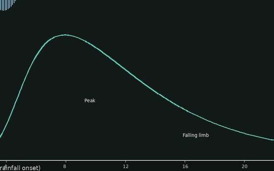 pluvial in the river-hydrology lab — a TERMS crop, not the glossary plate and not the lab cover. A TERMS crop, not the glossary plate and not the lab cover. Source: Wikimedia Commons / NASA / USGS / NOAA, public domain or CC.Wikimedia Commons / NASA / USGS / NOAA, public domain or CC
Snowmelt
Stored winter snow becoming spring discharge. A nival bump.
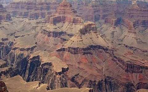 snowmelt in the river-hydrology lab — a TERMS crop, not the glossary plate and not the lab cover. A TERMS crop, not the glossary plate and not the lab cover. Source: Wikimedia Commons / NASA / USGS / NOAA, public domain or CC.Wikimedia Commons / NASA / USGS / NOAA, public domain or CC
Discharge
Volume per time. Regime plots it by month, not by hour.
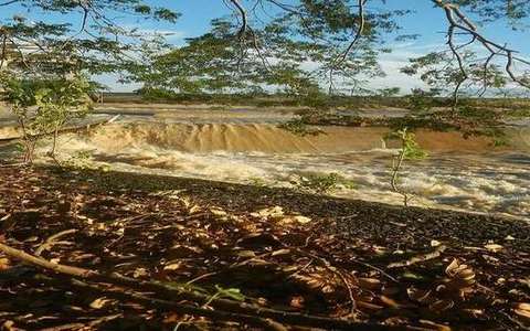 Discharge in the river-hydrology lab — a TERMS crop, not the glossary plate and not the lab cover. Volume per time. Source: Wikimedia Commons / NASA / USGS / public domain.Wikimedia Commons / NASA / USGS / public domain
Baseflow
The slow groundwater contribution that sits under the year’s wiggles.
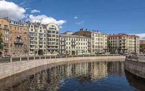 baseflow in the river-hydrology lab — a TERMS crop, not the glossary plate and not the lab cover. A TERMS crop, not the glossary plate and not the lab cover. Source: Wikimedia Commons / NASA / USGS / NOAA, public domain or CC.Wikimedia Commons / NASA / USGS / NOAA, public domain or CC
Dam regulation
Storage that flattens or shifts the natural year. Mississippi and Colorado both live with it.
 dam regulation in the river-hydrology lab — a TERMS crop, not the glossary plate and not the lab cover. A TERMS crop, not the glossary plate and not the lab cover. Source: Wikimedia Commons / NASA / USGS / NOAA, public domain or CC.Wikimedia Commons / NASA / USGS / NOAA, public domain or CC