Case study · US
San Andreas Fault
California
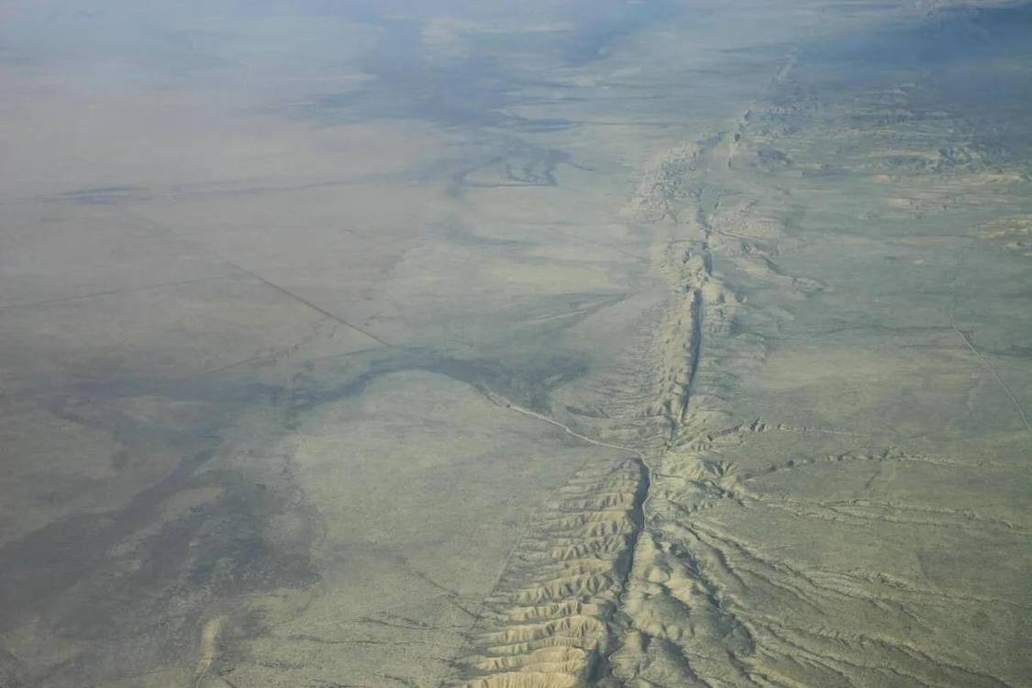
A transform boundary you can walk. Pacific plate northwest, North American plate southeast.
Locator · OpenStreetMap / OpenFreeMap · 35.90°, -120.43°
The San Andreas is a right-lateral transform boundary between the Pacific and North American plates. The 1906 San Francisco and 1989 Loma Prieta earthquakes are this boundary in living memory. Offset fences, streams, and roads are the field evidence. Creep along some segments is slow and almost quiet; locked segments store elastic strain and then slip.
Transform boundaries slide. They do not make a volcano chain. That is the exam contrast with Cascadia to the north, a subduction zone with a volcanic arc (the Cascades) and a different tsunami story. Students who colour both boundaries the same have missed the point of the plates lab.
Strike-slip is the folds-faults lab’s third fault type. The San Andreas is the named example. Focus and epicentre, P and S waves, and a shake-map are the earthquakes lab. Parkfield has been an instrumented laboratory for decades because a repeating magnitude-6 sequence made it famous.
UK students need this as the US pair to the Mid-Atlantic Ridge and the Himalaya. Three colours, three landforms, three hazards. The locator puts you on the Carrizo Plain, where the fault is a line in the grass.
Exam-style question
Why does the San Andreas system produce large earthquakes but not a volcanic arc, unlike Cascadia?
Teacher hint: Transform vs subduction. Slide-past does not melt a slab; Cascadia does.
Process labs
Sources
- USGS Earthquake Hazards Program
- USGS San Andreas fact sheets