 Process first, then the shape.NASA, public domain
Why this matters
Snowdonia is mountains: steep relief, cwms, a peak that is not a table. The Grand Canyon is a canyon cut into a plateau — high land with a relatively flat top, then a hole. A Yorkshire Dales knoll is smaller relief; the Mississippi floodplain is a plain. Those four, plus a basin as a bowl, are different machines, not a ranking of ambition. UK GCSE physical landscapes and NGSS MS-ESS2-2 both ask students to name a landform from height, slope, and plan shape. Fieldwork in Eryri and a rim walk at Grand Canyon fail if every high place is called a mountain. A plateau is height with a table. A basin is a depression. A plain is low and open. Mountain versus hill is a continuum of relief; definitions vary by country. The lab compares at one scale. It does not legislate. Same scale bar, different jobs: that is the whole argument.
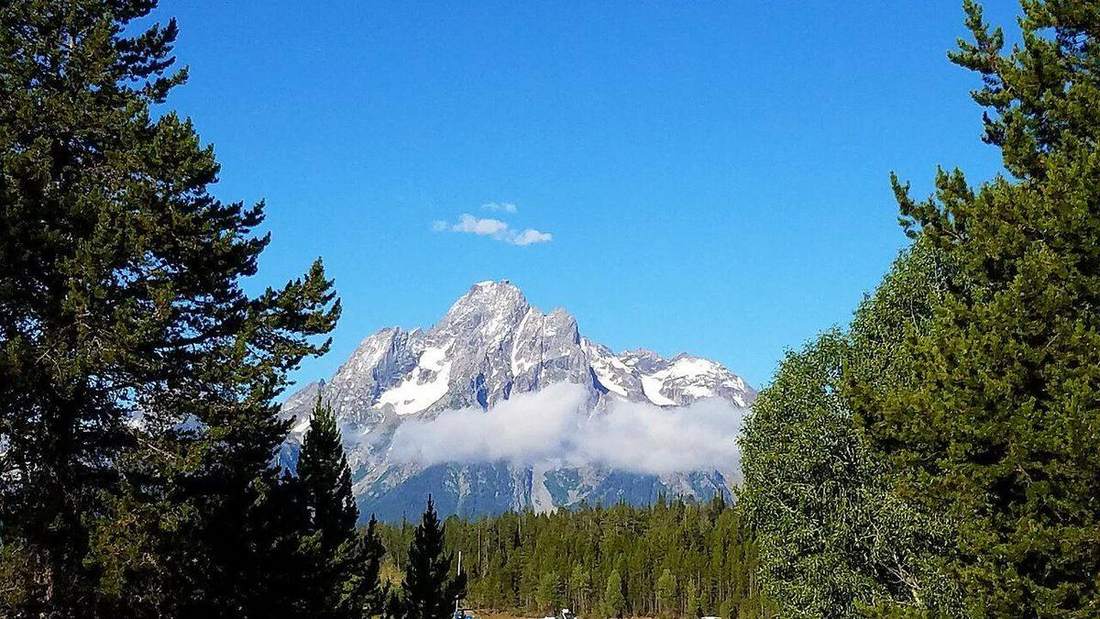
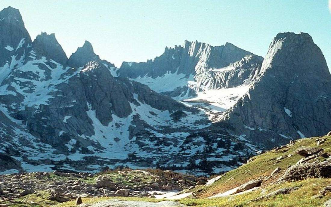 Field photograph or official scientific figure for teaching landform types. A second photograph for the projector script — not the lab cover. Source: Wikimedia Commons / NASA / USGS / NOAA, public domain or CC.Wikimedia Commons / NASA / USGS / NOAA, public domain or CC
The mechanism
Four patches sit on one studio floor with one scale bar. Vertical exaggeration is labelled ×8 so the set reads from the back of the room; true relief on a table-sized floor would be millimetres. Mountain: high local relief, steep slopes, a peak — Snowdonia’s machine, not a hill with ambition. Hill: smaller relief, rounded slopes — a continuum, not a law; countries disagree on the cut. Plateau: elevated land with a relatively flat top. The Colorado Plateau that the Grand Canyon cuts is this shape; the canyon is the hole, not the landform type. Plain: low, gently sloping, open — Mississippi alluvium, not a failed mountain. Basin: a bowl; drainage often inward or along the floor. Height plus slope plus plan is the classifier. Colour is not. Granite does not make a mountain if the relief is small; limestone can make a plateau. The five words are not five laws of nature. The model is a comparison floor, not a traced OS sheet or a USGS quad. Orbit at one scale; hide the labels and name them; then reveal. A plateau is not a mountain with the top sawn off as a moral. It is a different slope history, and the exaggeration caption is the honesty.
How to drive the model
Orbit the five at one scale. Hide labels. Point. Wait. Then reveal. The same scale bar is the argument: a mountain is not a hill with ambition, and a plateau is height with a table. Ask which patch is the Grand Canyon’s host landform before you name plateau. Keyboard: L labels, R reset, arrows to step the camera along the patches. There is no time slider; the land does not play. Vertical exaggeration is ×8 and labelled on the caption. Finish in Check. The wrong answer is always that every high place is a mountain.
If the model will not spin
Without the 3D view the sentence still holds. Mountain, hill, plateau, plain, and basin are height-and-slope machines compared at one scale. A plateau is high and flat. A basin is a bowl. A plain is low and open. Mountain versus hill is relief, not a law. Grand Canyon is a canyon in a plateau. Snowdonia is mountains. Vertical exaggeration is ×8 and labelled. Five words are not five laws of nature. Colour is not a classifier. Definitions vary by country; compare, do not legislate.
Film
How Does the Earth Create Different Landforms? Crash Course Geography #19. Crash Course Geography. About 13 min. Crash Course / Complexly on YouTube. Standard YouTube licence. Educational embed, autoplay off. Autoplay off.
Misconceptions
Every high place is a mountain.
Plateaus are high and flat. Hills are smaller relief.
The Grand Canyon is a mountain range.
It is a canyon cut into a plateau. The plateau is the landform type; the canyon is the hole.
Mountain versus hill is a law with a fixed height.
Definitions vary by country. Compare relief, slope and local height. Do not legislate.
Mountain
High local relief, steep slopes, a peak. Not a hill with ambition.
 mountain in the landform-types lab — a TERMS crop, not the glossary plate and not the lab cover. A TERMS crop, not the glossary plate and not the lab cover. Source: Wikimedia Commons / NASA / USGS / NOAA, public domain or CC.Wikimedia Commons / NASA / USGS / NOAA, public domain or CC
Hill
Smaller relief, often rounded. A continuum with mountain, not a fixed-height law.
 hill in the landform-types lab — a TERMS crop, not the glossary plate and not the lab cover. A TERMS crop, not the glossary plate and not the lab cover. Source: Wikimedia Commons / NASA / USGS / NOAA, public domain or CC.Wikimedia Commons / NASA / USGS / NOAA, public domain or CC
Plateau
Elevated land with a relatively flat top.
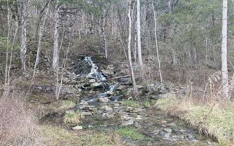 plateau in the landform-types lab — a TERMS crop, not the glossary plate and not the lab cover. A TERMS crop, not the glossary plate and not the lab cover. Source: Wikimedia Commons / NASA / USGS / NOAA, public domain or CC.Wikimedia Commons / NASA / USGS / NOAA, public domain or CC
Plain
Low, gently sloping, open land.
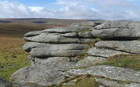 plain in the landform-types lab — a TERMS crop, not the glossary plate and not the lab cover. A TERMS crop, not the glossary plate and not the lab cover. Source: Wikimedia Commons / NASA / USGS / NOAA, public domain or CC.Wikimedia Commons / NASA / USGS / NOAA, public domain or CC
Basin
A bowl. Interior drainage or a low among highs.
 basin in the landform-types lab — a TERMS crop, not the glossary plate and not the lab cover. A TERMS crop, not the glossary plate and not the lab cover. Source: Wikimedia Commons / NASA / USGS / NOAA, public domain or CC.Wikimedia Commons / NASA / USGS / NOAA, public domain or CC
Relief
The difference in height across a landscape. The classifier, not colour.
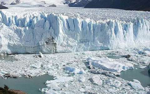 relief in the landform-types lab — a TERMS crop, not the glossary plate and not the lab cover. A TERMS crop, not the glossary plate and not the lab cover. Source: Wikimedia Commons / NASA / USGS / NOAA, public domain or CC.Wikimedia Commons / NASA / USGS / NOAA, public domain or CC
Canyon
A deep, steep-sided incision, often cut into a plateau. The hole, not the host landform.
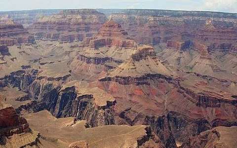 Canyon in the landform-types lab — a TERMS crop, not the glossary plate and not the lab cover. A deep, steep-sided incision, often cut into a plateau. Source: Wikimedia Commons / NASA / USGS / public domain.Wikimedia Commons / NASA / USGS / public domain