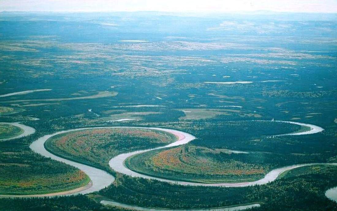
 A wind gap or elbow of capture. This is the classroom sense of river-capture: a named landform, process, or object. Source: Wikimedia Commons / NASA / USGS / NOAA, public domain or CC.Wikimedia Commons / NASA / USGS / NOAA, public domain or CC
Why this matters
Watersheds move. A more aggressive neighbour can steal a headwater, and the elbow is the scar. Old River on the Mississippi is capture at engineering scale: the Atchafalaya would take the flow if the USACE structure were not there. UK upland divides in the Lake District and the Pennines have quieter elbows and misfit beheaded streams. GCSE and A-level fluvial treat capture as headward erosion, not magic. A wind gap or dry valley may remain where the loser used to flow. Students who think a watershed is a fence that never moves will misread both a UK divide and the Old River Control Structure. The pirate is the steeper or weaker-rock neighbour. The loser shrinks. That steal is slow in the hills and sudden only in the cartoon.
 A second photograph for the projector script — not the lab cover.Wikimedia Commons / NASA / USGS
The mechanism
Two catchments. One nick point is lower. The pirate cuts back by headward erosion, captures the higher stream, and the water turns: that sharp bend is the elbow of capture. The loser is a beheaded stream, often a misfit in a too-big valley. A wind gap or dry valley may remain on the old course. Capture is more likely when one river has a steeper gradient or weaker rock and so cuts back faster. It is not instant. Play the lab: before the steal, two valleys; after, an elbow, a wind gap, a beheaded reach. Vertical exaggeration is labelled ×10 so the two valley floors and the divide read from the back of the room; true divide relief on a table would almost vanish. Water is a thin surface. The valley is a schematic long profile, not a traced catchment. Old River is the named US case: capture that engineers spend a century holding back. Lake District divides are the UK pair, slower, still the same steal. Watersheds are not painted fences. Headward erosion moves them. The elbow is the evidence; the wind gap is the ghost of the old route; the beheaded stream is the loser living in a valley cut for more water than it now has.
How to drive the model
Pause before capture. Two catchments. One nick point is lower. Predict which neighbour is the pirate before you press play. Play: the pirate cuts back, captures, an elbow forms, the loser is beheaded. Name the elbow of capture and the wind gap out loud. Keyboard: space, arrows, L labels, R reset. Vertical exaggeration is ×10 and labelled. Do not skip the pause before the steal. Finish in Check. The wrong answer is that watersheds never move, or that capture is instant magic.
If the model will not spin
Without the 3D view: a lower, steeper neighbour can cut back and steal a headwater. The elbow is the turn into the pirate. The beheaded stream is the loser, often a misfit in a too-big valley. A wind gap may remain. Watersheds move by headward erosion. Old River on the Mississippi is capture at engineering scale. Lake District divides are the quieter UK pair. Vertical exaggeration is ×10 and labelled. It is not instant magic. The pirate is the steeper or weaker-rock neighbour.
Film
How Water Shapes the Land: Crash Course Geology #9. Crash Course Geology. About 10 min. Crash Course Geology / Complexly on YouTube. Standard YouTube licence. Educational embed, autoplay off. Autoplay off.
Misconceptions
Watersheds never move.
Headward erosion moves them. The elbow is the scar.
Capture is instant magic.
It is slow headward cutting. A wind gap or dry valley may remain.
The beheaded stream gains water.
It loses its headwaters and often shrinks. Misfit in a too-big valley.
Elbow of capture
Sharp turn at the capture point, where water now flows into the pirate.
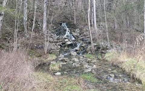 elbow of capture in the river-capture lab — a TERMS crop, not the glossary plate and not the lab cover. A TERMS crop, not the glossary plate and not the lab cover. Source: Wikimedia Commons / NASA / USGS / NOAA, public domain or CC.Wikimedia Commons / NASA / USGS / NOAA, public domain or CC
Beheaded stream
The loser, missing its headwaters, often a misfit in a too-big valley.
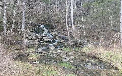 beheaded stream in the river-capture lab — a TERMS crop, not the glossary plate and not the lab cover. A TERMS crop, not the glossary plate and not the lab cover. Source: Wikimedia Commons / NASA / USGS / NOAA, public domain or CC.Wikimedia Commons / NASA / USGS / NOAA, public domain or CC
Pirate stream
The aggressor that captures by headward erosion.
 pirate stream in the river-capture lab — a TERMS crop, not the glossary plate and not the lab cover. A TERMS crop, not the glossary plate and not the lab cover. Source: Wikimedia Commons / NASA / USGS / NOAA, public domain or CC.Wikimedia Commons / NASA / USGS / NOAA, public domain or CC
Wind gap
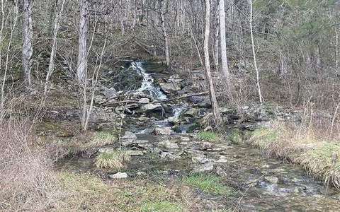
A dry col on the old course, left after capture.
 wind gap in the river-capture lab — a TERMS crop, not the glossary plate and not the lab cover. A TERMS crop, not the glossary plate and not the lab cover. Source: Wikimedia Commons / NASA / USGS / NOAA, public domain or CC.Wikimedia Commons / NASA / USGS / NOAA, public domain or CC
Headward erosion
Cutting back at the source, which can move a watershed.
 headward erosion in the river-capture lab — a TERMS crop, not the glossary plate and not the lab cover. A TERMS crop, not the glossary plate and not the lab cover. Source: Wikimedia Commons / NASA / USGS / NOAA, public domain or CC.Wikimedia Commons / NASA / USGS / NOAA, public domain or CC
Watershed
The rim of a catchment. It can move.
 Watershed in the river-capture lab — a TERMS crop, not the glossary plate and not the lab cover. The rim of a catchment. Source: Wikimedia Commons / NASA / USGS / public domain.Wikimedia Commons / NASA / USGS / public domain
Misfit stream
A stream too small for the valley it occupies — often a beheaded loser.
 misfit stream in the river-capture lab — a TERMS crop, not the glossary plate and not the lab cover. A TERMS crop, not the glossary plate and not the lab cover. Source: Wikimedia Commons / NASA / USGS / NOAA, public domain or CC.Wikimedia Commons / NASA / USGS / NOAA, public domain or CC