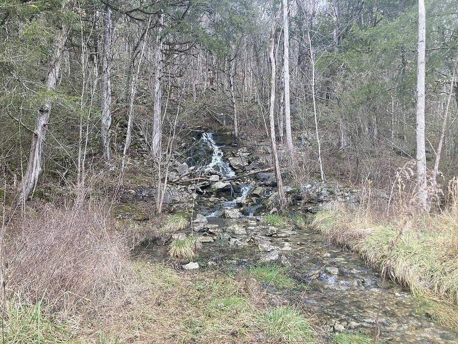
 A volume in pore space, not an underground lake.USGS / public domain
Why this matters
Yorkshire’s Chalk feeds springs and public supply. The Ogallala, under the High Plains, feeds centre-pivots that wrote the Dust Bowl’s agricultural sequel. Both are groundwater: water in pores, a water table you can draw, a well that mines a store. A-level water and APES groundwater both fail students who picture an underground river with banks. If you cannot see the table on a cut face, you will not understand a drought, a spring line, or why a well goes dry.
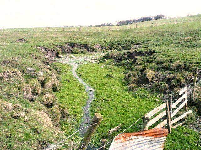 A second photograph for the projector script — not the lab cover.Wikimedia Commons / NASA / USGS
The mechanism
Input is recharge from rain, and a pump. Pores below the water table are saturated. Above it, unsaturated. An unconfined aquifer has the table as its top. A confined aquifer sits under an aquitard; pressure can push a flowing well. What moves: the table, the cone around the well. What does not: the rock. What is conserved: water as a budget — pump faster than recharge and the table falls. The lie: a glass tank with a blue lake. Real Chalk is a dual-porosity rock, fractures plus matrix. Real Ogallala is sediment, not a cave. This cutaway is a teaching tank. Springs appear where the table hits the hillside. That sentence is the field trip.
How to drive the model
Read the table on the cut before you pump. Lower the well slider. Watch the cone. Toggle confined if you need the aquitard lid. Keyboard: L, R, P, arrows on the table. Ask where a spring would break out before you reveal the label.
If the model will not spin
Without the canvas: groundwater lives in pores. The water table is the top of the saturated zone, not an underground lake. A well mines that store and draws a cone of depression. Chalk in Yorkshire; Ogallala under Kansas. Recharge slowly; pump fast and the table falls. A spring is the table meeting the hill. That is enough for Check.
Film
How Can Rain Create Conflict? Crash Course Geography #11. Crash Course Geography. About 11 min. Crash Course / Complexly on YouTube. Standard YouTube licence. Educational embed, autoplay off. Autoplay off.
Misconceptions
Groundwater is an underground river or lake.
It is water in pores. The table is a surface through sediment or rock.
Wells create water.
Wells mine a store. Pump faster than recharge and the table falls.
All rock is aquifer.
Granite and clay often yield little. Chalk and clean sand often yield a lot.
Water table
Top of the saturated zone. A surface through the pores, not a lake shore.
 water table in the groundwater lab — a TERMS crop, not the glossary plate and not the lab cover. A TERMS crop, not the glossary plate and not the lab cover. Source: Wikimedia Commons / NASA / USGS / NOAA, public domain or CC.Wikimedia Commons / NASA / USGS / NOAA, public domain or CC
Aquifer
Rock or sediment that stores and yields useful water.
 Aquifer in the groundwater lab — a TERMS crop, not the glossary plate and not the lab cover. Rock or sediment that stores and yields useful water. Source: Wikimedia Commons / NASA / USGS / public domain.Wikimedia Commons / NASA / USGS / public domain
Aquitard
A layer that slows flow. Clay, often. The lid on a confined aquifer.
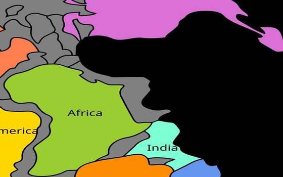 aquitard in the groundwater lab — a TERMS crop, not the glossary plate and not the lab cover. A TERMS crop, not the glossary plate and not the lab cover. Source: Wikimedia Commons / NASA / USGS / NOAA, public domain or CC.Wikimedia Commons / NASA / USGS / NOAA, public domain or CC
Cone of depression
Lowering of the table around a pumping well.
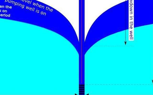 cone of depression in the groundwater lab — a TERMS crop, not the glossary plate and not the lab cover. A TERMS crop, not the glossary plate and not the lab cover. Source: Wikimedia Commons / NASA / USGS / NOAA, public domain or CC.Wikimedia Commons / NASA / USGS / NOAA, public domain or CC
Recharge
Water added to the aquifer, usually from rain and infiltration.
 Recharge in the groundwater lab — a TERMS crop, not the glossary plate and not the lab cover. Water added to the aquifer, usually from rain and infiltration. Source: Wikimedia Commons / NASA / USGS / public domain.Wikimedia Commons / NASA / USGS / public domain
Spring line
Where the water table meets the hillside and water emerges.
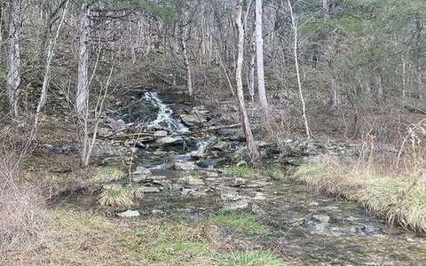 spring line in the groundwater lab — a TERMS crop, not the glossary plate and not the lab cover. A TERMS crop, not the glossary plate and not the lab cover. Source: Wikimedia Commons / NASA / USGS / NOAA, public domain or CC.Wikimedia Commons / NASA / USGS / NOAA, public domain or CC
Confined aquifer
Saturated rock under an aquitard. Pressure can drive a flowing well.
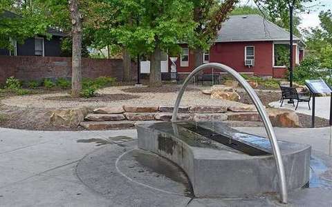 Confined aquifer in the groundwater lab — a TERMS crop, not the glossary plate and not the lab cover. Saturated rock under an aquitard. Source: Wikimedia Commons / NASA / USGS / public domain.Wikimedia Commons / NASA / USGS / public domain