Case study · US
Cascadia subduction zone
Pacific Northwest
A locked megathrust, a volcanic arc, and a tsunami story written in drowned forests.
Locator · OpenStreetMap / OpenFreeMap · 46.20°, -124.00°
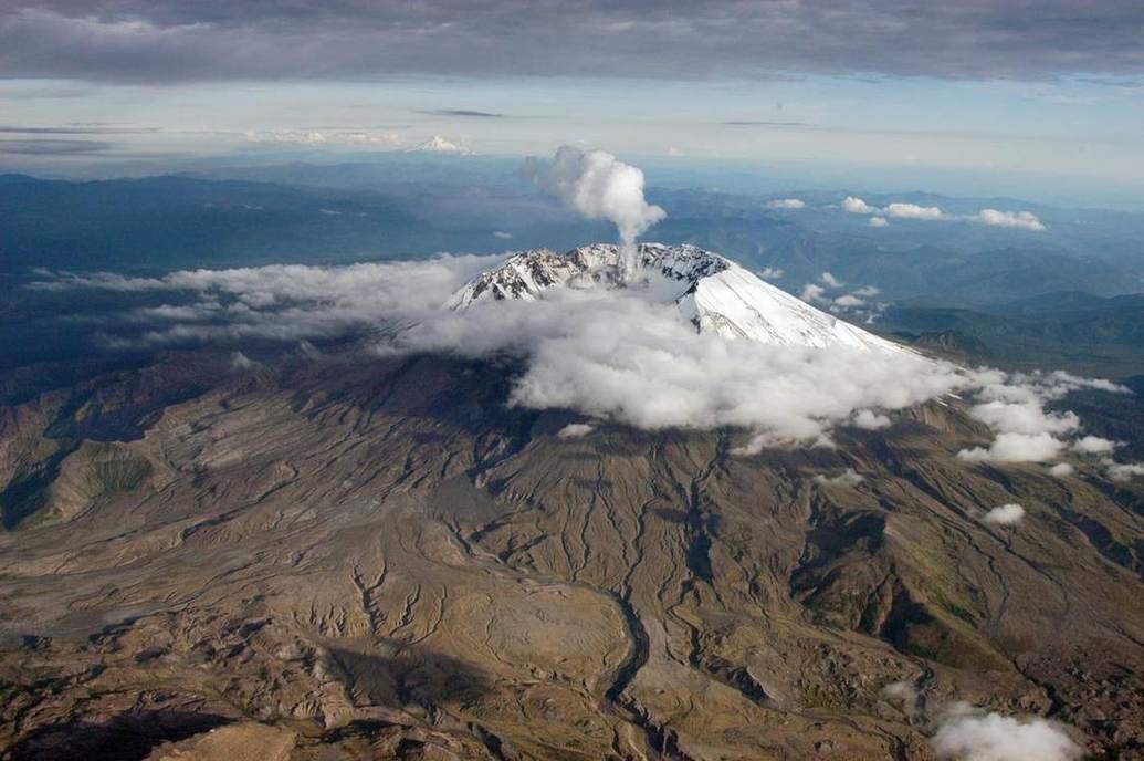
The Juan de Fuca plate dives under North America. That is convergence: a trench offshore, earthquakes on the megathrust, and a chain of stratovolcanoes inland — Rainier, St Helens, Hood, Shasta. The 1700 Cascadia earthquake is dated from Japanese tsunami records and from drowned coastal forests in Oregon and Washington. The next one is a regional planning problem, not a myth.
Subduction makes magma by adding water to the mantle wedge. Viscosity and gas make stratovolcanoes explosive. Shield volcanoes, like Hawaii, are a different chemistry and a different setting. The volcanoes lab’s viscosity slider is this contrast.
A tsunami here would start with seafloor slip, not with a meteor. The tsunami lab is the physics: a water column lifted, a wave that is fast in deep water and tall in shallow water. Coastal schools in this region drill for that wave.
Hold this case next to San Andreas. Same coast, different boundary, different volcano story, different tsunami story. That is the whole point of colouring plates.
Exam-style question
Describe how a Cascadia megathrust earthquake can generate both a volcanic arc (over time) and a tsunami (in minutes).
Teacher hint: Watered mantle → arc over geologic time. Seafloor slip → tsunami in minutes.
Process labs
Sources
- USGS Cascadia
- NOAA / NWS tsunami