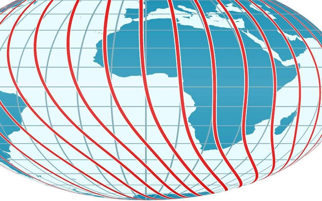
 Parallels and meridians on a globe. The network of meridians and parallels on a globe or map. Source: Wikimedia Commons / NASA / USGS / NOAA, public domain or CC.Wikimedia Commons / NASA / USGS / NOAA, public domain or CC
Why this matters
Every case locator on this site is a lat/long pair. Greenwich is the civil zero for longitude — a plaque on a rotating sphere, not a machine that makes day and night. US Eastern, Central, Mountain, and Pacific are four civil labels across about 60° of longitude; the terminator ignores the jogs around state lines. A Leeds frost at 07:00 is already sunlight on a Berlin school roof. Snowdonia and Yosemite sit at different longitudes, so the same full Moon rises at different clock times; the coordinate is an address, not a decoration. Railways forced time zones onto 15° meridians. Rescue, aviation, and every atlas pin still speak this language. The equator does none of that work: it is 0° latitude, a different axis of the same net. Live weather satellites in geostationary slots match this spin. Historical noon was local until the railways forced zones.
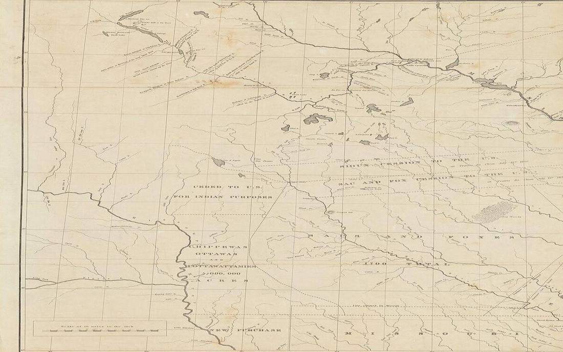 Field photograph or official scientific figure for teaching graticule. A second photograph for the projector script — not the lab cover. Source: Wikimedia Commons / NASA / USGS / NOAA, public domain or CC.Wikimedia Commons / NASA / USGS / NOAA, public domain or CC
The mechanism
The graticule is the network of meridians and parallels on a globe or map. Latitude is the angle from the equator, 0° to 90° north or south. Parallels never meet; they shrink toward the poles. Longitude is the angle from the Greenwich meridian, 0° to 180° east or west. Meridians run pole to pole and meet at the poles. The two families cross at right angles. The equator is 0° latitude, not a line of longitude. Greenwich is 0° longitude, a convention; the spin does not care which meridian we labelled zero. Fifteen degrees of longitude is about one hour of Earth rotation: 360° divided by 24 hours. Coordinates are a grid on a sphere. They do not make the Earth flat. A point at 0°, 0° sits in the Atlantic, south of Ghana, in the Gulf of Guinea — not in London. The International Date Line is near 180°, not the Greenwich meridian, and it jogs for islands. This lab draws the Tropic of Cancer at 23.44°N and the Arctic Circle at 66.56°N; they are tilt geometry, not climate belts painted on the sea. East and west mix-ups are the classic error: New York is west of Greenwich.
How to drive the model
Scrub Latitude and Longitude. Drop a marker on London, then New York. Read the coordinates aloud. East and west mix-ups happen here. Point at the equator, then Greenwich: they cross at right angles. Ask the hour difference before you reveal: 15° of longitude is about one hour. Orbit the globe so meridians and parallels read as a net, not a decoration. Pause on Greenwich 0°, then on a US time-zone longitude, and count the hours. Keyboard: L labels, R reset. Latitude and Longitude sliders live in the control bar. The readout follows the pin, including the hour offset.
If the model will not spin
The globe is a sphere of true shape. The net is denser than a school atlas so it reads from the back of the room. The marker is a teaching pin, not a surveyed monument. Tropics and polar circles are drawn true. Time-zone jogs are omitted so the 15° hour stays the lesson. Without the 3D view: latitude is angle from the equator; longitude is angle from Greenwich; meridians meet at the poles and parallels never do; 15° is about one hour; 0°, 0° is the Gulf of Guinea, not London.
Film
What is a Map? Crash Course Geography #2. Crash Course Geography. About 11 min. Crash Course / Complexly on YouTube. Standard YouTube licence. Educational embed, autoplay off. Autoplay off.
Misconceptions
The equator is a line of longitude.
The equator is 0° latitude. Greenwich is 0° longitude. They cross at right angles.
0°, 0° is in London, because Greenwich is there.
Greenwich is about 51.5°N, 0°. The equator meets Greenwich in the Gulf of Guinea, south of Ghana.
The International Date Line is the Greenwich meridian.
Greenwich is 0°. The date line is near 180°, with jogs for islands. Time zones are civil labels on longitude, not the cause of day and night.
Graticule
The network of meridians and parallels on a globe or map.
 Graticule in the graticule lab — a TERMS crop, not the glossary plate and not the lab cover. The network of meridians and parallels on a globe or map. Source: Wikimedia Commons / NASA / USGS / public domain.Wikimedia Commons / NASA / USGS / public domain
Meridian
A line of longitude, pole to pole. Meridians meet at the poles.
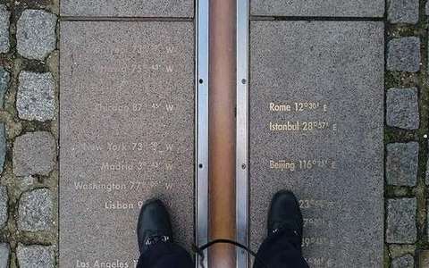 Meridian in the graticule lab — a TERMS crop, not the glossary plate and not the lab cover. A line of longitude, pole to pole. Source: Wikimedia Commons / NASA / USGS / public domain.Wikimedia Commons / NASA / USGS / public domain
Parallel
A line of latitude, parallel to the equator. Parallels never meet.
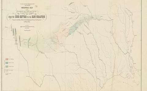 Parallel in the graticule lab — a TERMS crop, not the glossary plate and not the lab cover. A line of latitude, parallel to the equator. Source: Wikimedia Commons / NASA / USGS / public domain.Wikimedia Commons / NASA / USGS / public domain
Latitude
Angle from the equator, 0° to 90° N or S. Not a distance in kilometres.
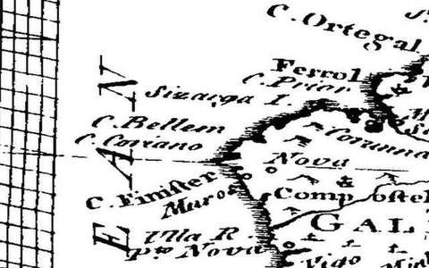 latitude in the graticule lab — a TERMS crop, not the glossary plate and not the lab cover. A TERMS crop, not the glossary plate and not the lab cover. Source: Wikimedia Commons / NASA / USGS / NOAA, public domain or CC.Wikimedia Commons / NASA / USGS / NOAA, public domain or CC
Longitude
Angle from the prime meridian, 0° to 180° E or W. 15° is about one hour.
 longitude in the graticule lab — a TERMS crop, not the glossary plate and not the lab cover. A TERMS crop, not the glossary plate and not the lab cover. Source: Wikimedia Commons / NASA / USGS / NOAA, public domain or CC.Wikimedia Commons / NASA / USGS / NOAA, public domain or CC
Prime meridian
The civil zero of longitude. Greenwich is the school choice. The Earth does not care.
 prime meridian in the graticule lab — a TERMS crop, not the glossary plate and not the lab cover. A TERMS crop, not the glossary plate and not the lab cover. Source: Wikimedia Commons / NASA / USGS / NOAA, public domain or CC.Wikimedia Commons / NASA / USGS / NOAA, public domain or CC
Equator
0° latitude. It is a parallel, not a meridian.
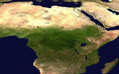 equator in the graticule lab — a TERMS crop, not the glossary plate and not the lab cover. A TERMS crop, not the glossary plate and not the lab cover. Source: Wikimedia Commons / NASA / USGS / NOAA, public domain or CC.Wikimedia Commons / NASA / USGS / NOAA, public domain or CC
International Date Line
The civil date-change near 180°. It is not the Greenwich meridian, and it jogs for islands.
 international date line in the graticule lab — a TERMS crop, not the glossary plate and not the lab cover. A TERMS crop, not the glossary plate and not the lab cover. Source: Wikimedia Commons / NASA / USGS / NOAA, public domain or CC.Wikimedia Commons / NASA / USGS / NOAA, public domain or CC