Case study · US
Outer Banks
North Carolina
A barrier-island chain, longshore drift, storm inlets, and a different sediment budget from Holderness till cliffs.
Locator · OpenStreetMap / OpenFreeMap · 35.25°, -75.53°
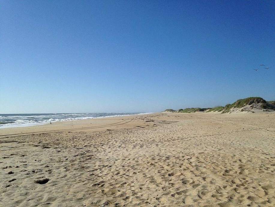
The Outer Banks are sand in motion. Barrier islands sit offshore, with a lagoon or sound behind. Longshore drift moves sand along the chain. Storms punch inlets; some inlets stay, some heal. Cape Hatteras is a famous turn in the conveyor.
Unlike Holderness, there is no till cliff retreating at two metres a year. The landform is a barrier, not a cliff. The budget idea is the same: supply, transport, deposition, interruption. Groynes and beach nourishment are the management cousins of Mappleton’s rocks.
Constructive waves can build the berm. Destructive storm waves can overwash the island and roll it toward the mainland. Students should be able to say that a barrier is not a permanent wall.
Exam-style question
Compare the Holderness cliff and the Outer Banks as sediment systems. What is shared, and what is not?
Teacher hint: Shared: longshore budget. Different: till cliff vs barrier sand, rates, landforms.
Process labs
Sources
- USGS barrier islands
- NOAA / NPS Cape Hatteras