Case study · East Asia
Loess Plateau
Shaanxi · Shanxi · Gansu
Wind-laid silt, then water. A soil-erosion classroom the size of a province. The Dust Bowl is the US pair, not a meander.
Locator · OpenStreetMap / OpenFreeMap · 36.60°, 109.50°
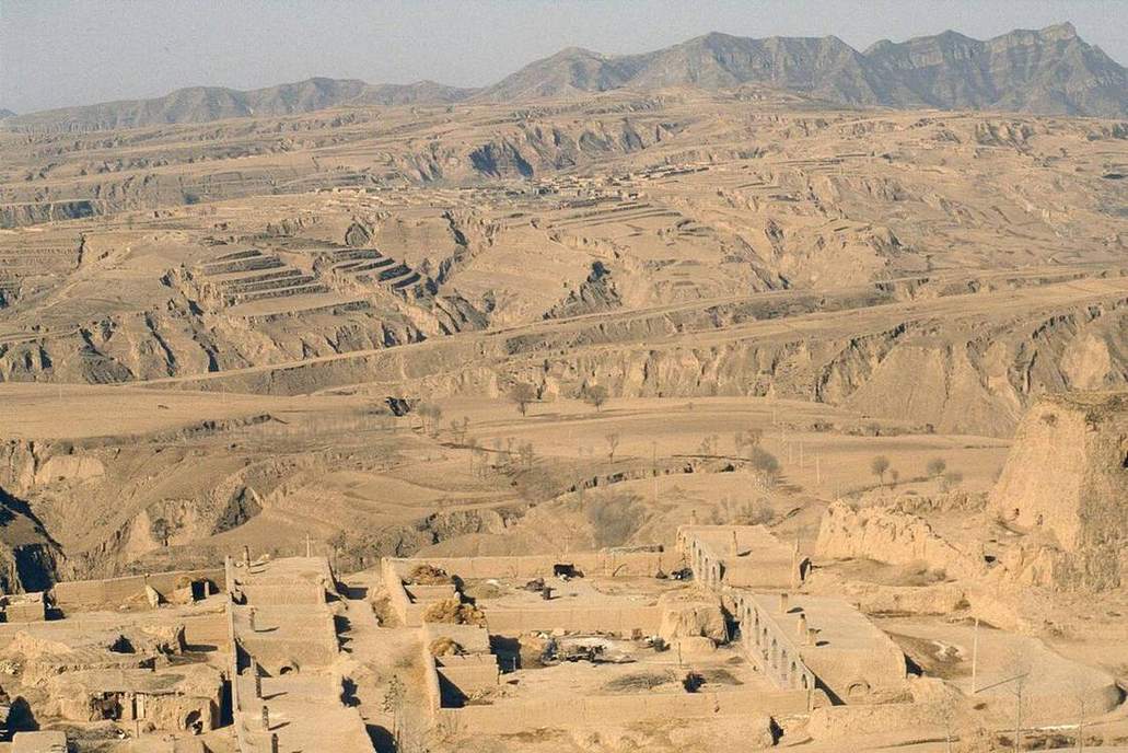
The Loess Plateau is wind-laid silt from Central Asian deserts, metres to hundreds of metres thick. Water then cuts gullies. Terraces and check dams are the human reply. This is aeolian deposition plus fluvial erosion — two labs, one landscape.
Compare the Dust Bowl: wind lifting a broken A horizon on the US Great Plains. There the silt left. Here the silt arrived, then water dissected it. Same word (erosion), different agent, different time.
A soil pit on the Plateau shows thickness you can stand in. The soil-profile lab’s horizons still apply; the E may be missing. Colour is not the class.
Classroom move: open aeolian on a barchan, then soil-erosion on a gully, then this case. Ask which process laid the silt and which process is cutting it now.
Exam-style question
Explain how the Loess Plateau records both wind deposition and water erosion, using a US Dust Bowl comparison.
Teacher hint: Wind laid the silt (aeolian). Water cuts gullies (fluvial). Dust Bowl: wind removing a broken A horizon — the opposite flux.
Process labs
Sources
- CAS / FAO — Loess Plateau restoration
- USDA — Dust Bowl