 The ITCZ as a rain band from orbit. This is the classroom sense of three-cell: a named landform, process, or object. Source: Wikimedia Commons / NASA / USGS / NOAA, public domain or CC.Wikimedia Commons / NASA / USGS / NOAA, public domain or CC
Why this matters
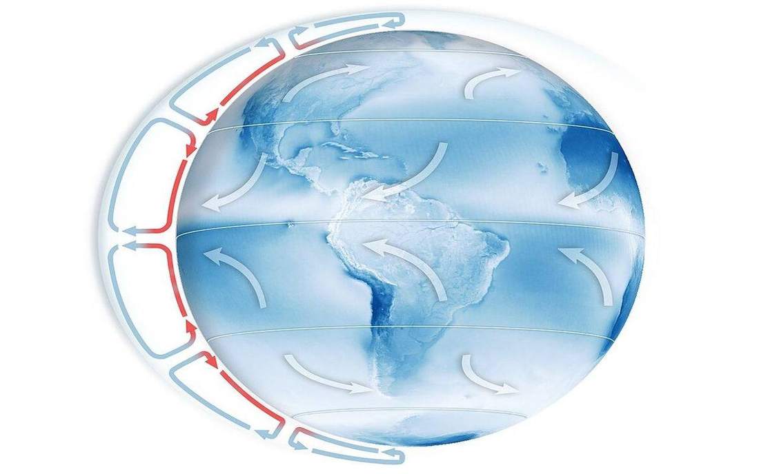
ITCZ and West African rains, the Florida wet season, and a UK westerly year are this walk. One cell would send rise at the equator and sink at the pole; London would sit in a steady polar northerly and Florida would never see a season in the rain. Three cells are the planet we have: Hadley in the tropics, Ferrel in the midlatitudes, Polar at high latitude. GCSE names the cells. A-level and APES need the ITCZ as a moving rainband, not a painted equator. If pupils think the equator is always the wettest place, fixed, they will misread a June Florida convective afternoon and a January UK chart in the same breath. Play a year. Watch the thermal equator walk. Then put the UK in the Ferrel story, not in Hadley.
 Field photograph or official scientific figure for teaching three cell. A second photograph for the projector script — not the lab cover. Source: Wikimedia Commons / NASA / USGS / NOAA, public domain or CC.Wikimedia Commons / NASA / USGS / NOAA, public domain or CC
The mechanism
On a non-rotating planet a single thermally direct cell could run from equator to pole. Earth rotates, Coriolis breaks that loop, and the school model is three cells each side of the equator. Hadley: rise near the thermal equator (ITCZ), poleward aloft, sink in the subtropics, return as the trades. Ferrel: the midlatitude indirect cell, driven more by the cells and the eddies either side than by local heating alone; real midlatitudes are storm tracks, not a clean classroom loop. Polar: rise near 60°, sink at the pole. The ITCZ is where the trades meet and air rises; it walks with the subsolar latitude through the year, so rain follows heat. Florida’s wet season is that walk in one peninsula. West African rains are the same walk on another coast. The UK sits in westerlies under the Ferrel story, not in Hadley; do not draw three equal cells, and do not park London on the equator. Toggle Three cells off to show the failed 1-cell planet, then on again. Play a year so the ITCZ is a traveller, not a tattoo.
How to drive the model
Toggle Three cells off for the 1-cell planet, then on. Space plays a year so the ITCZ walks. Arrow keys scrub the seasons; freeze on a solstice and ask where the rain went. L hides labels; make them name Hadley, Ferrel, Polar. R resets the year and the toggle. P is projector. This lab has a year clock: 1× 2× 4× if you need a faster walk. Share the URL on a June ITCZ over Florida’s latitude, then again in December, so the walk is a pair of links not a hand wave.
If the model will not spin
If JavaScript or WebGL dies, the 2D fallback still shows the three loops. Teach from the steps: 1-cell failure, three names, ITCZ walks with the year. Check still asks where Hadley rises, why the ITCZ walks, why Ferrel is indirect, and why one cell fails. Print the teacher script. The glossary still names trades, subtropical high, and westerlies. You lose the globe tour, not the reason Florida wet season and UK westerlies are different cells. A board sketch of three loops can stand in for the year walk.
Film
Where Does Wind Come From? Crash Course Geography #8. Crash Course Geography. About 11 min. Crash Course / Complexly on YouTube. Standard YouTube licence. Educational embed, autoplay off. Autoplay off.
Misconceptions
The equator is always the wettest place, fixed.
The rain follows the ITCZ, which walks with the seasons.
The UK sits in the Hadley cell.
Hadley is tropical. The UK’s westerlies live in the midlatitude Ferrel story, storm tracks included.
The three cells are equal in size and equally clean.
Hadley is the big thermally direct loop. Ferrel is indirect and stormy. Do not draw three matching doughnuts.
Hadley cell
Tropical thermally direct cell. Rise near the ITCZ, sink in the subtropics.
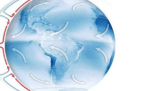 Hadley cell in the three-cell lab — a TERMS crop, not the glossary plate and not the lab cover. Tropical thermally direct cell. Source: Wikimedia Commons / NASA / USGS / public domain.Wikimedia Commons / NASA / USGS / public domain
Ferrel cell
Midlatitude cell, indirect in the school model, driven by the cells and storms either side.
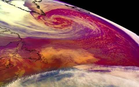 ferrel cell in the three-cell lab — a TERMS crop, not the glossary plate and not the lab cover. A TERMS crop, not the glossary plate and not the lab cover. Source: Wikimedia Commons / NASA / USGS / NOAA, public domain or CC.Wikimedia Commons / NASA / USGS / NOAA, public domain or CC
Polar cell
High-latitude cell. Rise near 60°, sink at the pole.
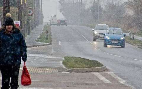 polar cell in the three-cell lab — a TERMS crop, not the glossary plate and not the lab cover. A TERMS crop, not the glossary plate and not the lab cover. Source: Wikimedia Commons / NASA / USGS / NOAA, public domain or CC.Wikimedia Commons / NASA / USGS / NOAA, public domain or CC
ITCZ
Belt where the trades meet and air rises. Walks with the seasons.
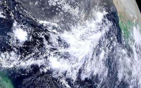 ITCZ in the three-cell lab — a TERMS crop, not the glossary plate and not the lab cover. Belt where the trades meet and air rises. Source: Wikimedia Commons / NASA / USGS / public domain.Wikimedia Commons / NASA / USGS / public domain
Trade winds
Surface return of the Hadley cell, toward the ITCZ, deflected by Coriolis.
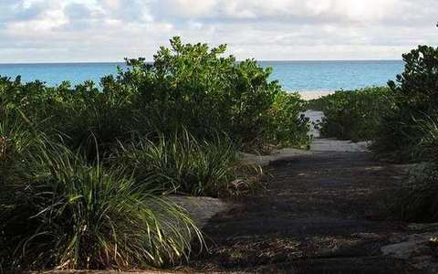 Trade winds in the three-cell lab — a TERMS crop, not the glossary plate and not the lab cover. Surface return of the Hadley cell, toward the ITCZ, deflected by Coriolis. Source: Wikimedia Commons / NASA / USGS / public domain.Wikimedia Commons / NASA / USGS / public domain
Subtropical high
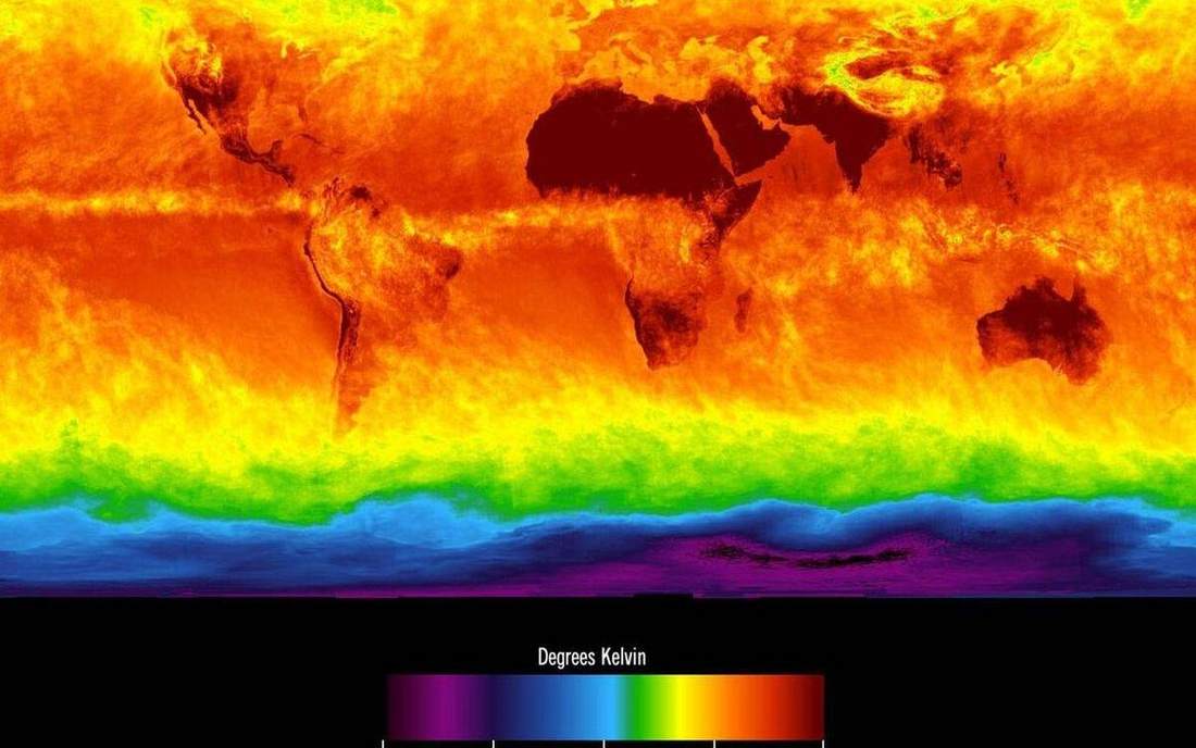
Belt of sinking air on the poleward side of Hadley. Deserts often sit under it.
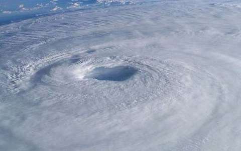 subtropical high in the three-cell lab — a TERMS crop, not the glossary plate and not the lab cover. A TERMS crop, not the glossary plate and not the lab cover. Source: Wikimedia Commons / NASA / USGS / NOAA, public domain or CC.Wikimedia Commons / NASA / USGS / NOAA, public domain or CC
Thermal equator
Latitude of strongest heating, not always 0°. The ITCZ follows it.
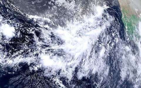 thermal equator in the three-cell lab — a TERMS crop, not the glossary plate and not the lab cover. A TERMS crop, not the glossary plate and not the lab cover. Source: Wikimedia Commons / NASA / USGS / NOAA, public domain or CC.Wikimedia Commons / NASA / USGS / NOAA, public domain or CC
Westerlies
Midlatitude west-to-east winds. The UK’s usual steering, under the Ferrel story.
 westerlies in the three-cell lab — a TERMS crop, not the glossary plate and not the lab cover. A TERMS crop, not the glossary plate and not the lab cover. Source: Wikimedia Commons / NASA / USGS / NOAA, public domain or CC.Wikimedia Commons / NASA / USGS / NOAA, public domain or CC