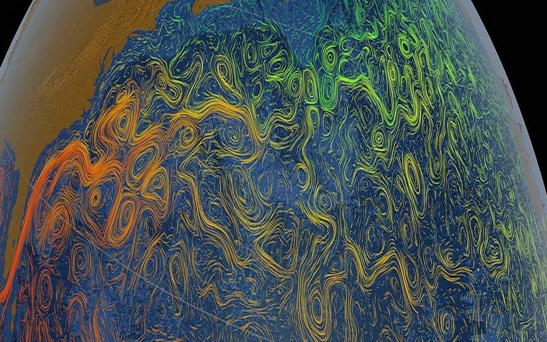
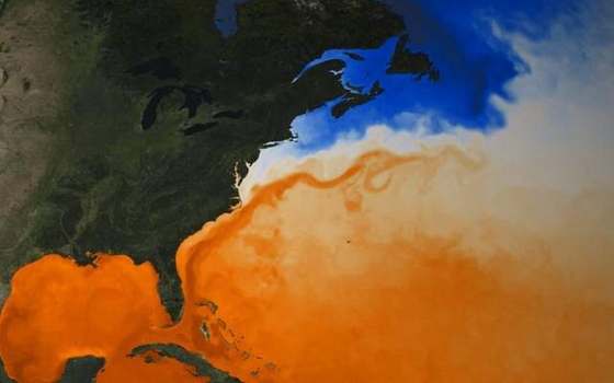
 A warm western-boundary current on an SST map. This is the classroom sense of ocean-currents: a named landform, process, or object. Source: Wikimedia Commons / NASA / USGS / NOAA, public domain or CC.Wikimedia Commons / NASA / USGS / NOAA, public domain or CC
Why this matters
Florida and Holderness sit on the same ocean, different coasts. Miami feels a warm western-boundary ribbon; a Holderness till cliff feels North Sea weather on the other side of the gyre. UK mild winters are a mix of latitude, westerlies and ocean heat — the Gulf Stream helps, it does not magically heat every British garden. A GCSE class that treats the ribbon as a radiator will misread both a January frost in Leeds and a hurricane season off Florida. Surface gyres move heat, salt and floating debris; they are not a personality of the sea. News maps that colour the Atlantic red and call it a heater skip the rest of the budget: the westerlies, the latitude, the heat already in the basin. Honest language is the skill. Same ocean, different coast, one physical machine.
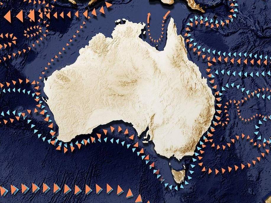 A second photograph for the projector script — not the lab cover.Wikimedia Commons / NASA / USGS
The mechanism
A gyre is a large looping surface current system. Five subtropical gyres sit under subtropical highs on a school globe: North Atlantic, South Atlantic, North Pacific, South Pacific, Indian. Wind stress and the Earth’s rotation pile water; western-boundary currents then run narrow, fast and warm — Gulf Stream, Kuroshio. Eastern-boundary currents on the same loop are broader and cooler — Canary in the North Atlantic. The Gulf Stream is a warm western-boundary current of the North Atlantic, drawn here as a ribbon from the Florida Strait toward north-west Europe. Colour in this lab is a temperature story, not a paint chart. UK mild winters are latitude, westerlies and ocean heat together. The ribbon is one term in that budget, not the reason Britain has weather at all. It is not a miracle heater of every garden. Florida and Holderness share the basin and disagree at the beach. This is a surface schematic, not a GCM, not the deep conveyor — that is the thermohaline lab. Particles on the ribbon are tracers, not a census of every eddy. The globe is true-ish shape; current tubes are fat so they read from the back row.
How to drive the model
Orbit the globe. Name the North Atlantic loop before the ribbon. Point at the Gulf Stream, then the UK, then Florida, then Holderness. Hide labels (L) and ask which coast sits on the warm western boundary. Step the camera if the set has wandered. Particles on the ribbon are tracers so the loop reads; they are not a forecast. Keyboard: L labels, R reset. No year slider — gyres are the standing machine. Honest language, then sit down. Finish in Check.
If the model will not spin
Without the 3D view: five gyres as loops; the Gulf Stream as a warm western-boundary ribbon. UK mild winters are latitude, westerlies and ocean heat. The ribbon helps; it is not a magic radiator. Florida and Holderness sit on the same ocean, different coasts. Western-boundary currents are narrow and fast; eastern-boundary currents are broader and cooler. This is a surface schematic, not the deep conveyor and not a climate model. Colour is a temperature story. The tubes are fat on purpose so the set reads.
Film
How Do Oceans Circulate? Crash Course Geography #9. Crash Course Geography. About 11 min. Crash Course / Complexly on YouTube. Standard YouTube licence. Educational embed, autoplay off. Autoplay off.
Misconceptions
The Gulf Stream is why Britain has weather at all.
It is one term in a budget.
The Gulf Stream is a magic radiator for every British garden.
Latitude, westerlies and ocean heat share the work. The ribbon helps; it does not run the seasons.
All ocean currents are the deep conveyor.
These are surface gyres. The density-driven loop is a different lab.
Gyre
A basin-scale looping surface current system. Five subtropical gyres on a school globe.
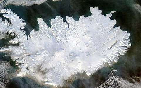 gyre in the ocean-currents lab — a TERMS crop, not the glossary plate and not the lab cover. A TERMS crop, not the glossary plate and not the lab cover. Source: Wikimedia Commons / NASA / USGS / NOAA, public domain or CC.Wikimedia Commons / NASA / USGS / NOAA, public domain or CC
Western boundary current
Narrow, fast, warm current on the western side of a subtropical gyre — Gulf Stream, Kuroshio.
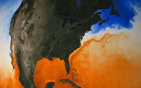 western boundary current in the ocean-currents lab — a TERMS crop, not the glossary plate and not the lab cover. A TERMS crop, not the glossary plate and not the lab cover. Source: Wikimedia Commons / NASA / USGS / NOAA, public domain or CC.Wikimedia Commons / NASA / USGS / NOAA, public domain or CC
Eastern boundary current
Broader, cooler return on the eastern side of the same gyre — Canary in the North Atlantic.
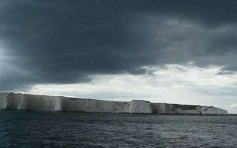 eastern boundary current in the ocean-currents lab — a TERMS crop, not the glossary plate and not the lab cover. A TERMS crop, not the glossary plate and not the lab cover. Source: Wikimedia Commons / NASA / USGS / NOAA, public domain or CC.Wikimedia Commons / NASA / USGS / NOAA, public domain or CC
Gulf Stream
Warm western-boundary current of the North Atlantic. A ribbon, not a miracle heater.
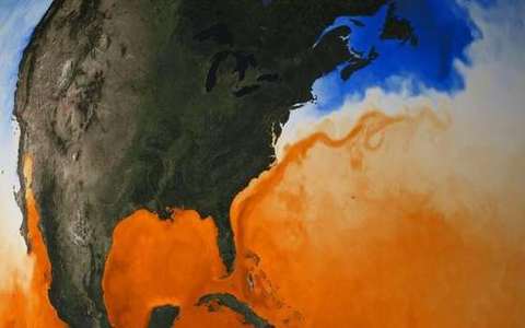 gulf stream in the ocean-currents lab — a TERMS crop, not the glossary plate and not the lab cover. A TERMS crop, not the glossary plate and not the lab cover. Source: Wikimedia Commons / NASA / USGS / NOAA, public domain or CC.Wikimedia Commons / NASA / USGS / NOAA, public domain or CC
Canary Current
Cooler eastern-boundary current of the North Atlantic gyre.
 canary current in the ocean-currents lab — a TERMS crop, not the glossary plate and not the lab cover. A TERMS crop, not the glossary plate and not the lab cover. Source: Wikimedia Commons / NASA / USGS / NOAA, public domain or CC.Wikimedia Commons / NASA / USGS / NOAA, public domain or CC
Subtropical high
The high-pressure cell that helps organise a subtropical gyre.
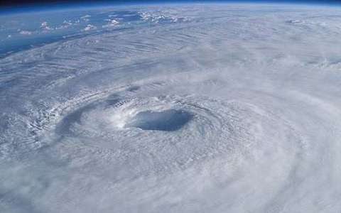 subtropical high in the ocean-currents lab — a TERMS crop, not the glossary plate and not the lab cover. A TERMS crop, not the glossary plate and not the lab cover. Source: Wikimedia Commons / NASA / USGS / NOAA, public domain or CC.Wikimedia Commons / NASA / USGS / NOAA, public domain or CC
Surface current
Wind-driven flow in the upper ocean. Not the deep density conveyor.
 surface current in the ocean-currents lab — a TERMS crop, not the glossary plate and not the lab cover. A TERMS crop, not the glossary plate and not the lab cover. Source: Wikimedia Commons / NASA / USGS / NOAA, public domain or CC.Wikimedia Commons / NASA / USGS / NOAA, public domain or CC