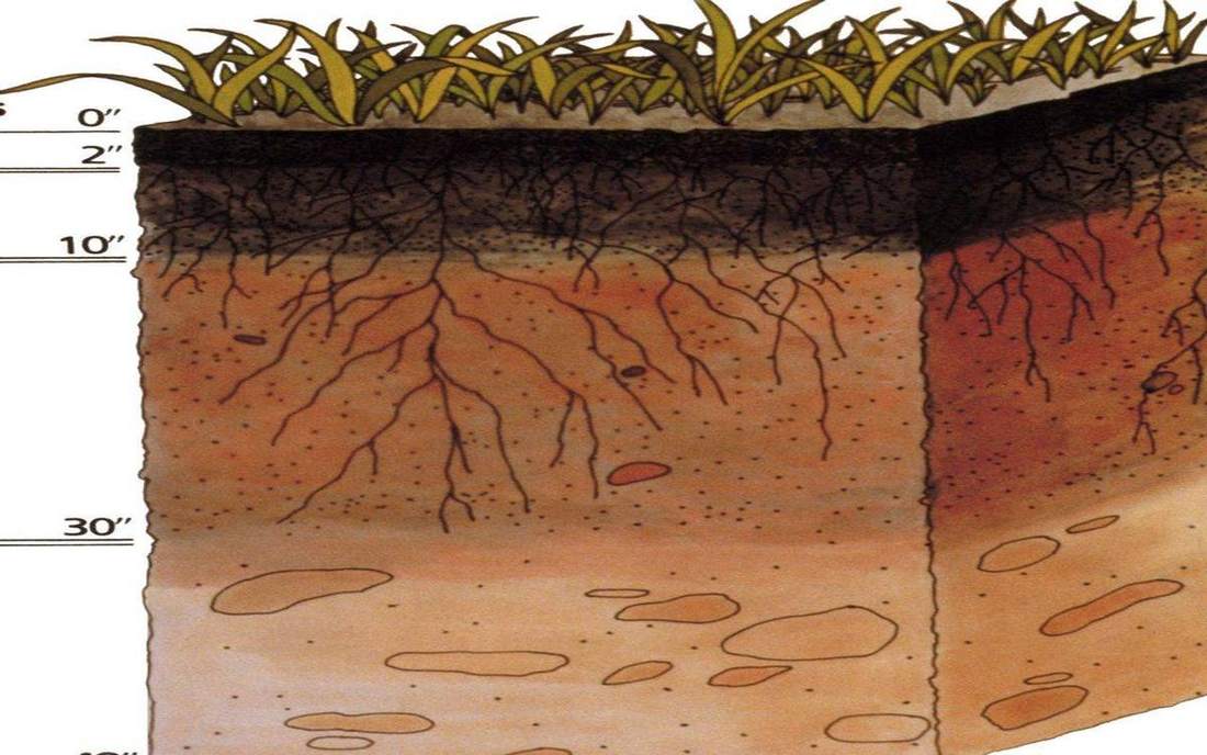
 Mineral soil in the hand — texture, not colour class. This is the classroom sense of soil-texture: a named landform, process, or object. Source: Wikimedia Commons / NASA / USGS / NOAA, public domain or CC.Wikimedia Commons / NASA / USGS / NOAA, public domain or CC
Why this matters
Texture is a particle-size mix, not a colour and not a bag from a garden centre. Plot sand, silt and clay, then name the USDA class. Loam is a place near the middle of the triangle, not a brand. That sentence is the UK and US share: GCSE talks sand, silt and clay; APES and NRCS use the same triangle. Somerset Levels clays and peats sit toward fine; they hold water and stick. Dust Bowl silts sat on the wind because the particles were small enough to lift once the cover went. A Yorkshire Dales rendzina over limestone can be thin and stony, not a loam by slogan. Grand Canyon colluvium and Jurassic Coast cliff falls start as rock fragments and weather toward these three sizes. Farmers care because texture sets drainage, workability and how fast a rill can cut. A sandy soil drinks and dries. A clay holds and ponds. Loam is the compromise many crops like. Colour can lie. Particle size does not.
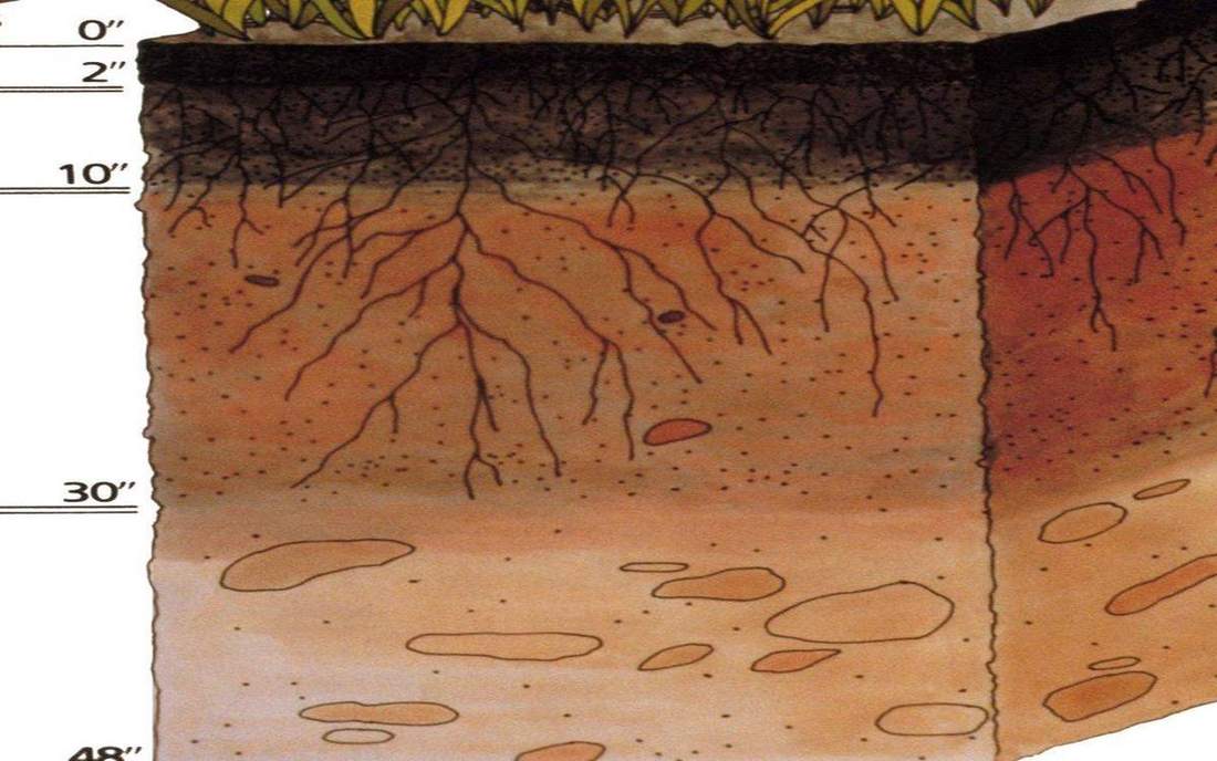 Field photograph or official scientific figure for teaching soil texture. A second photograph for the projector script — not the lab cover. Source: Wikimedia Commons / NASA / USGS / NOAA, public domain or CC.Wikimedia Commons / NASA / USGS / NOAA, public domain or CC
The mechanism
Sand, silt and clay are size classes of mineral particles. Sand is the coarsest of the three and feels gritty. Silt feels floury. Clay is the finest and feels sticky when wet because the particles have huge surface area and often a charge. Organic matter is a separate story; peat is not a point on this mineral triangle. The USDA texture triangle is a ternary plot: the three percentages must sum to 100. A class name — sand, sandy loam, loam, clay loam, clay, silt loam — is a region on that plot, not a personality. Loam sits near the middle: enough sand to drain, enough clay and silt to hold nutrients and water. Move toward a corner and the class follows the dominant size. Feel tests in the field (gritty, smooth, ribbon length) are the same triangle without the printed chart. This lab is the chart. It does not measure a real sample; it teaches the geometry so a field sentence can be plotted. Texture is not structure (crumbs and blocks) and not colour (iron, organic matter). Keep those words apart.
How to drive the model
Show the USDA triangle, not a 3D cone. Move Sand % and Clay %. Silt is the remainder so the three sum to 100. The point walks. Read the class name out loud from the readout: loam, clay, sandy loam, silt. Push sand toward 90 and name a sandy class. Push clay up until the point enters clay. Come back toward the middle and say loam as a place, not a brand of bag. Ask for a field sample in words — ‘more sand than clay’ — then plot it. Orbit if you need the labels; the skill is the point, not the camera. Finish when the class can refuse ‘brown soil’ as a texture answer.
If the model will not spin
Without the canvas the triangle is still a ternary plot. Sand, silt and clay sum to 100 percent. Clay is the finest of the three; sand is the coarsest. Loam is a mixed class near the middle, not a brand of bag. Somerset Levels often sit toward clay and peat; Dust Bowl silt was fine enough to fly. Texture is particle size, not colour and not pottery. A 90 percent sand sample is a sandy class. Plot a sentence, then name the region. That is the whole check.
Film
What is Soil (and Why is it Important)? Crash Course Geography #16. Crash Course Geography. About 10 min. Crash Course / Complexly on YouTube. Standard YouTube licence. Educational embed, autoplay off. Autoplay off.
Misconceptions
Clay means pottery only.
It is a particle size.
Loam is a brand of bag.
Loam is a place near the middle of the triangle.
Brown soil is a texture class.
Colour is iron and organic matter. Texture is sand, silt, clay.
Texture
The sand, silt and clay proportions of the mineral soil.
 texture in the soil-texture lab — a TERMS crop, not the glossary plate and not the lab cover. A TERMS crop, not the glossary plate and not the lab cover. Source: Wikimedia Commons / NASA / USGS / NOAA, public domain or CC.Wikimedia Commons / NASA / USGS / NOAA, public domain or CC
Sand
Coarsest of the three mineral sizes. Gritty. Drains fast.
 sand in the soil-texture lab — a TERMS crop, not the glossary plate and not the lab cover. A TERMS crop, not the glossary plate and not the lab cover. Source: Wikimedia Commons / NASA / USGS / NOAA, public domain or CC.Wikimedia Commons / NASA / USGS / NOAA, public domain or CC
Silt
Medium size. Feels floury. Easily carried by wind and water.
 silt in the soil-texture lab — a TERMS crop, not the glossary plate and not the lab cover. A TERMS crop, not the glossary plate and not the lab cover. Source: Wikimedia Commons / NASA / USGS / NOAA, public domain or CC.Wikimedia Commons / NASA / USGS / NOAA, public domain or CC
Clay
Finest mineral size. Sticky when wet. Holds water and nutrients.
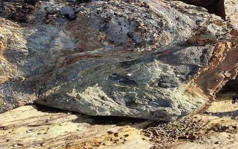 clay in the soil-texture lab — a TERMS crop, not the glossary plate and not the lab cover. A TERMS crop, not the glossary plate and not the lab cover. Source: Wikimedia Commons / NASA / USGS / NOAA, public domain or CC.Wikimedia Commons / NASA / USGS / NOAA, public domain or CC
Loam
A mixed class near the middle of the USDA triangle, not a brand.
 loam in the soil-texture lab — a TERMS crop, not the glossary plate and not the lab cover. A TERMS crop, not the glossary plate and not the lab cover. Source: Wikimedia Commons / NASA / USGS / NOAA, public domain or CC.Wikimedia Commons / NASA / USGS / NOAA, public domain or CC
USDA texture triangle
Ternary chart that names a class from sand, silt and clay percentages.
 usda texture triangle in the soil-texture lab — a TERMS crop, not the glossary plate and not the lab cover. A TERMS crop, not the glossary plate and not the lab cover. Source: Wikimedia Commons / NASA / USGS / NOAA, public domain or CC.Wikimedia Commons / NASA / USGS / NOAA, public domain or CC
Ternary plot
Three components that must sum to 100 percent. Silt is the remainder here.
 ternary plot in the soil-texture lab — a TERMS crop, not the glossary plate and not the lab cover. A TERMS crop, not the glossary plate and not the lab cover. Source: Wikimedia Commons / NASA / USGS / NOAA, public domain or CC.Wikimedia Commons / NASA / USGS / NOAA, public domain or CC