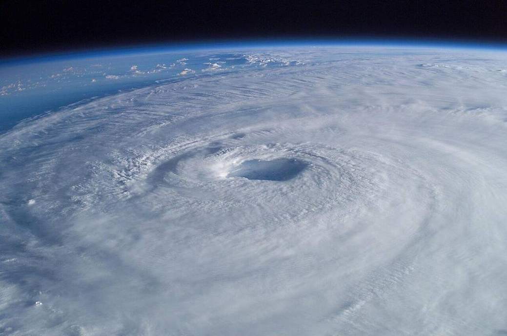
 A warm-core engine.NASA, public domain
Why this matters
Katrina and Sandy are the locators. Katrina (2005) was a large tropical cyclone on the Gulf Coast; the catastrophe in New Orleans was surge plus levée failure on a sinking delta. Sandy (2012) was a late-season hybrid that struck the New York–New Jersey Bight: surge in a funnel, high tide, a dense shoreline. Both are North Atlantic heat engines with an eye, an eyewall and rainbands — until Sandy’s hybrid caution. A UK winter storm is usually a midlatitude cyclone with fronts, not an eyewall. Met Office names storms; they are still extra-tropical unless stated. Do not brand a Yorkshire gale as a hurricane. Do not put Saffir–Simpson on a UK depression. Hawaii sees true tropical cyclones in season; Iceland and Cascadia are other machines; San Andreas is slip. GCSE hazards and NGSS want the structure named and the UK language kept honest. Warm sea is the fuel. A front is a different lab. Same word ‘cyclone’, two engines.
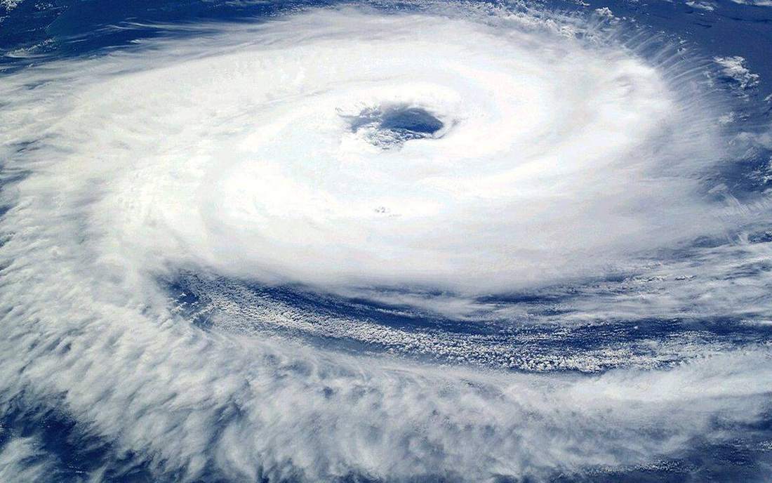 Field photograph or official scientific figure for teaching tropical cyclone. A second photograph for the projector script — not the lab cover. Source: Wikimedia Commons / NASA / USGS / NOAA, public domain or CC.Wikimedia Commons / NASA / USGS / NOAA, public domain or CC
The mechanism
A tropical cyclone is an organised warm-core storm over a warm ocean. The eye is a calm, often clear centre of descending air. The eyewall is the ring of strongest convection, wind and rain — the damage ring. Spiral rainbands sit outside. Fuel is latent heat from warm water, plus low vertical shear so the tower can stand, plus enough Coriolis to spin (not on the equator). That is a school list, not a forecast model. Intensity in this lab is a slider, not a 2026 track. Play spins the spiral. Slice the storm to see the eye well. Storm surge is wind pile-up and pressure, the water-level cousin of Katrina and Sandy; rainfall is a hydrograph story inland. A midlatitude cyclone is a different machine: comma cloud, warm front, cold front, energy from horizontal temperature contrast. Toggle UK low in this lab and the eye dies into that comma. Saffir–Simpson is a tropical-cyclone wind scale. It does not grade a Met Office named storm over Wales. Sandy’s hybrid nature is a teacher’s caution, not a KS3 requirement. Keep the verbs: warm sea, eye, eyewall, bands. Then say what a UK Tuesday is not.
How to drive the model
Leave the Hurricane / UK low button on Hurricane. Orbit the eye, then the eyewall, then the rainbands. Slice to cut the well. Raise Intensity; the engine is still a school box over warm sea. Play to spin the spiral. Toggle UK low: the eye goes, fronts appear, the readout says comma-shaped mid-latitude low. That toggle is the language lesson. Name the eyewall out loud while it exists. Do not put Saffir–Simpson on the UK shape. Katrina and Sandy after the structure, not instead of it. Then Check.
If the model will not spin
Without the canvas the structure is still the lesson. Eye: calm centre. Eyewall: ring of strongest winds and rain. Rainbands outside. Fuel: warm ocean and low shear, among other things — a school list, not a forecast. A UK winter storm is usually a midlatitude cyclone with fronts, not an eyewall. Met Office names storms; they are still extra-tropical unless stated. Katrina and Sandy are the locators. Sandy is a hybrid caution. Do not brand a UK gale as a hurricane. Do not put Saffir–Simpson on a Yorkshire wind. Different engine.
Film
What Are the Different Types of Cyclones? Crash Course Geography #12. Crash Course Geography. About 11 min. Crash Course / Complexly on YouTube. Standard YouTube licence. Educational embed, autoplay off. Autoplay off.
Misconceptions
Every windy UK day is a hurricane.
Different engine. Met Office names storms; they are still extra-tropical unless stated.
The eye is the most dangerous place.
The eyewall is the damage ring. The eye is calm. The far side still comes.
Saffir–Simpson grades Met Office named storms.
That scale is for tropical cyclones. A UK depression is a different machine.
Tropical cyclone
Warm-core organised storm over a warm ocean. Name depends on basin.
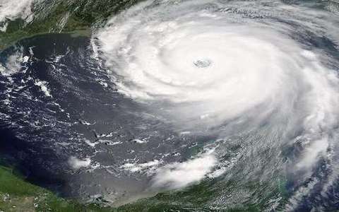 Tropical cyclone in the tropical-cyclone lab — a TERMS crop, not the glossary plate and not the lab cover. Warm-core organised storm over a warm ocean. Source: Wikimedia Commons / NASA / USGS / public domain.Wikimedia Commons / NASA / USGS / public domain
Eye
Calm centre of a tropical cyclone, often with descending air.
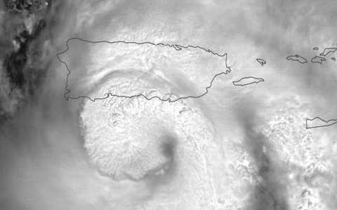 Eye in the tropical-cyclone lab — a TERMS crop, not the glossary plate and not the lab cover. Calm centre of a tropical cyclone, often with descending air. Source: Wikimedia Commons / NASA / USGS / public domain.Wikimedia Commons / NASA / USGS / public domain
Eyewall
Ring of strongest convection, wind and rain around the eye.
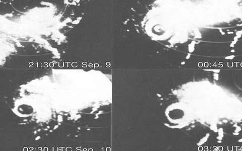 Eyewall in the tropical-cyclone lab — a TERMS crop, not the glossary plate and not the lab cover. Ring of strongest convection, wind and rain around the eye. Source: Wikimedia Commons / NASA / USGS / public domain.Wikimedia Commons / NASA / USGS / public domain
Rainband
Spiral band of showers and storms outside the eyewall.
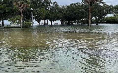 rainband in the tropical-cyclone lab — a TERMS crop, not the glossary plate and not the lab cover. A TERMS crop, not the glossary plate and not the lab cover. Source: Wikimedia Commons / NASA / USGS / NOAA, public domain or CC.Wikimedia Commons / NASA / USGS / NOAA, public domain or CC
Storm surge
Sea-level rise from wind and pressure in a cyclone. Not a tsunami.
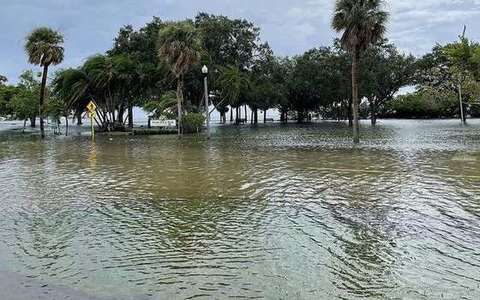 Storm surge in the tropical-cyclone lab — a TERMS crop, not the glossary plate and not the lab cover. Sea-level rise from wind and pressure in a cyclone. Source: Wikimedia Commons / NASA / USGS / public domain.Wikimedia Commons / NASA / USGS / public domain
Saffir–Simpson
Wind-scale for tropical cyclones. Not for UK extra-tropical gales.
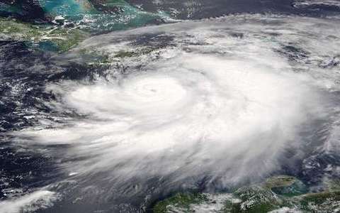 Saffir–Simpson in the tropical-cyclone lab — a TERMS crop, not the glossary plate and not the lab cover. Wind-scale for tropical cyclones. Source: Wikimedia Commons / NASA / USGS / public domain.Wikimedia Commons / NASA / USGS / public domain
Midlatitude cyclone
Frontal storm driven by horizontal temperature contrast. UK winter default.
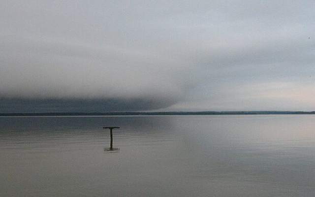 midlatitude cyclone in the tropical-cyclone lab — a TERMS crop, not the glossary plate and not the lab cover. A TERMS crop, not the glossary plate and not the lab cover. Source: Wikimedia Commons / NASA / USGS / NOAA, public domain or CC.Wikimedia Commons / NASA / USGS / NOAA, public domain or CC